Why Barranco de Las Angustias Stands Out
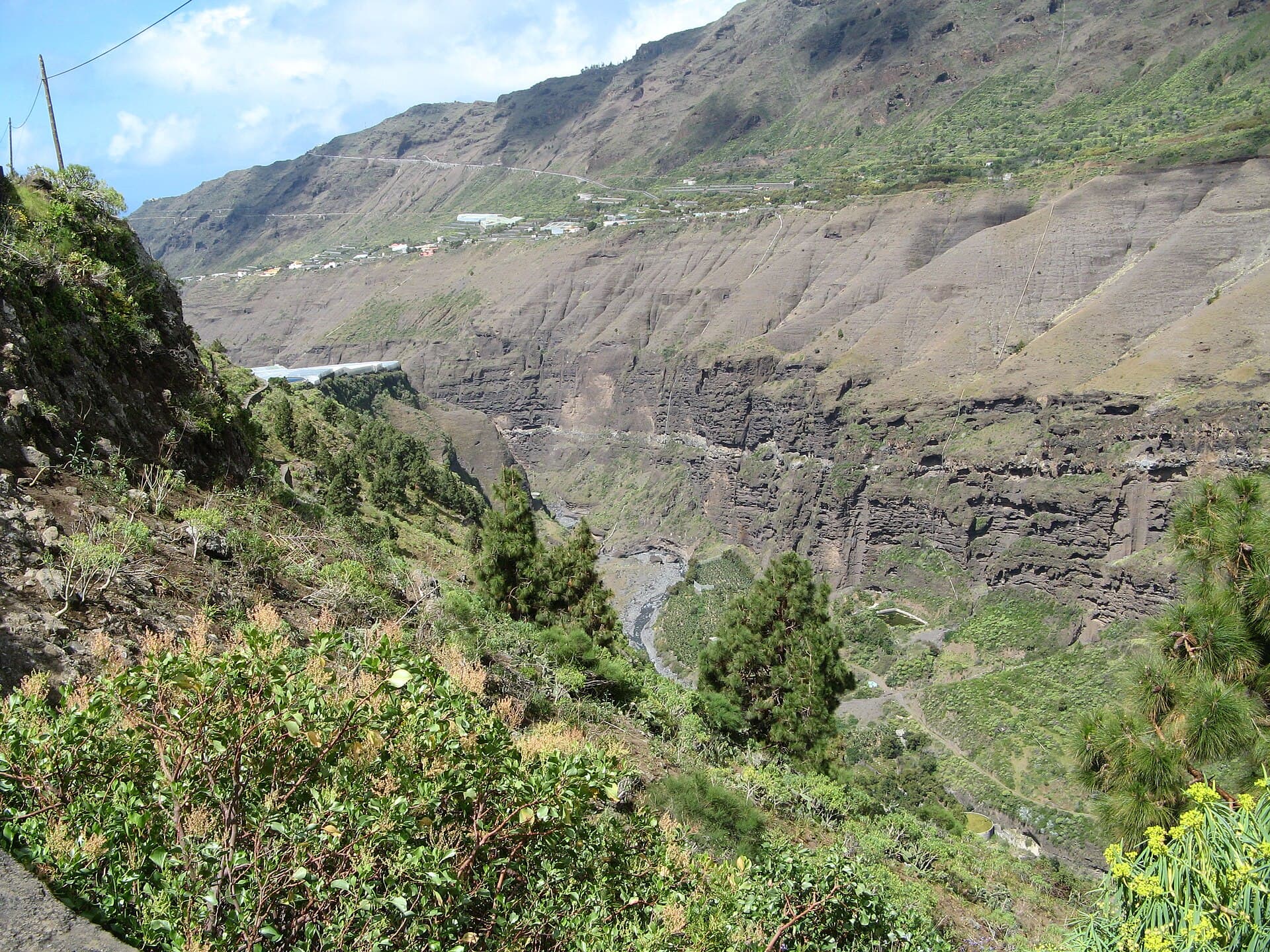
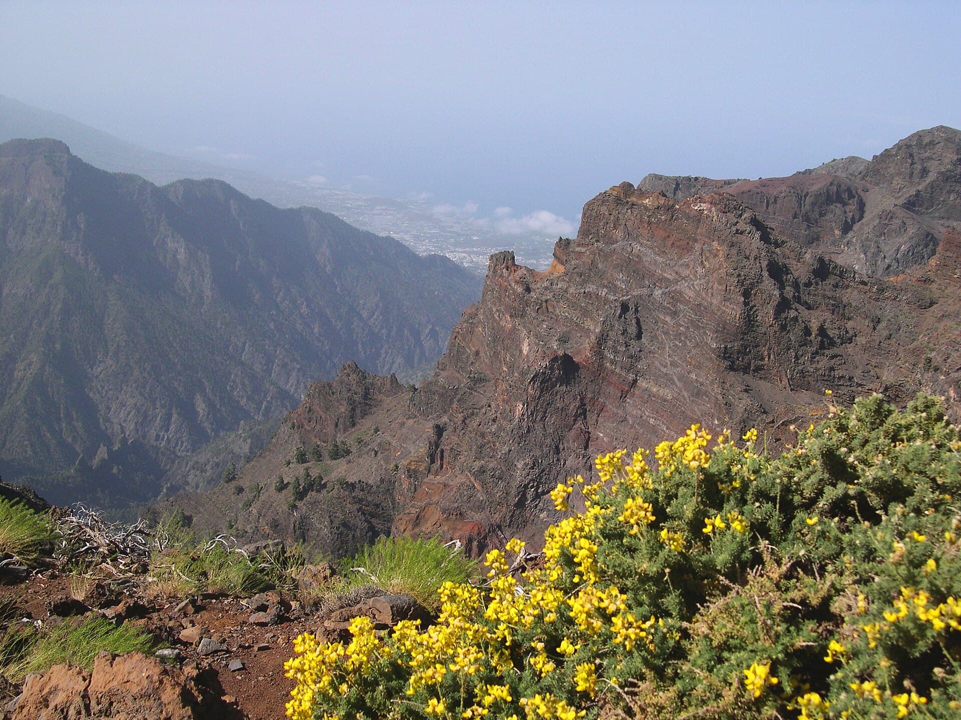
Barranco de Las Angustias cuts through the southern flank of La Palma’s massive Caldera de Taburiente, forming a deep, narrow gorge of volcanic rock that funnels hikers into the heart of the national park. Its sheer walls, seasonal waterfalls, and dense laurel forest create a striking contrast to the island’s sunnier coastal zones. The barranco is the most direct route to the park’s interior trails and offers a true sense of entering a volcanic amphitheater.
Key Trails and Sights
The main path follows the riverbed upstream from the park entrance near El Paso. Hikers pass through successive sections of pine forest, rock tunnels, and open gravel plains before reaching the park’s central plateau. Look for the narrow “Cubo de la Galga” side canyon and the occasional natural swimming hole after heavy rain. The route eventually connects with longer trails that climb toward Roque de los Muchachos and the park’s high viewpoints.
How to Reach the Trailhead
Most visitors drive to the national-park visitor center at La Cumbrecita or continue a short distance to the official barranco parking area. A free shuttle runs from the visitor center during peak season. From Santa Cruz de La Palma, the drive takes roughly 45 minutes via the LP-3 and LP-301 roads. Public buses reach El Paso, after which a short taxi ride or local transfer is needed to the trailhead.
Best Time to Visit
Spring (March–May) and autumn (September–November) bring milder temperatures and lower risk of flash floods. Summer days can exceed 30 °C inside the gorge, while winter storms make the riverbed slippery and sometimes impassable. Early-morning starts help hikers avoid the midday heat and secure parking.
Nearby Attractions
After a barranco hike, many travelers continue to the Roque de los Muchachos astronomical observatory for sunset views, or descend to the coastal town of Puerto Naos for black-sand beaches and seafood. The nearby Los Llanos de Aridane offers weekend markets and easy access to banana plantations that line the lower slopes of the caldera.