
Keep reading
Nearby & related
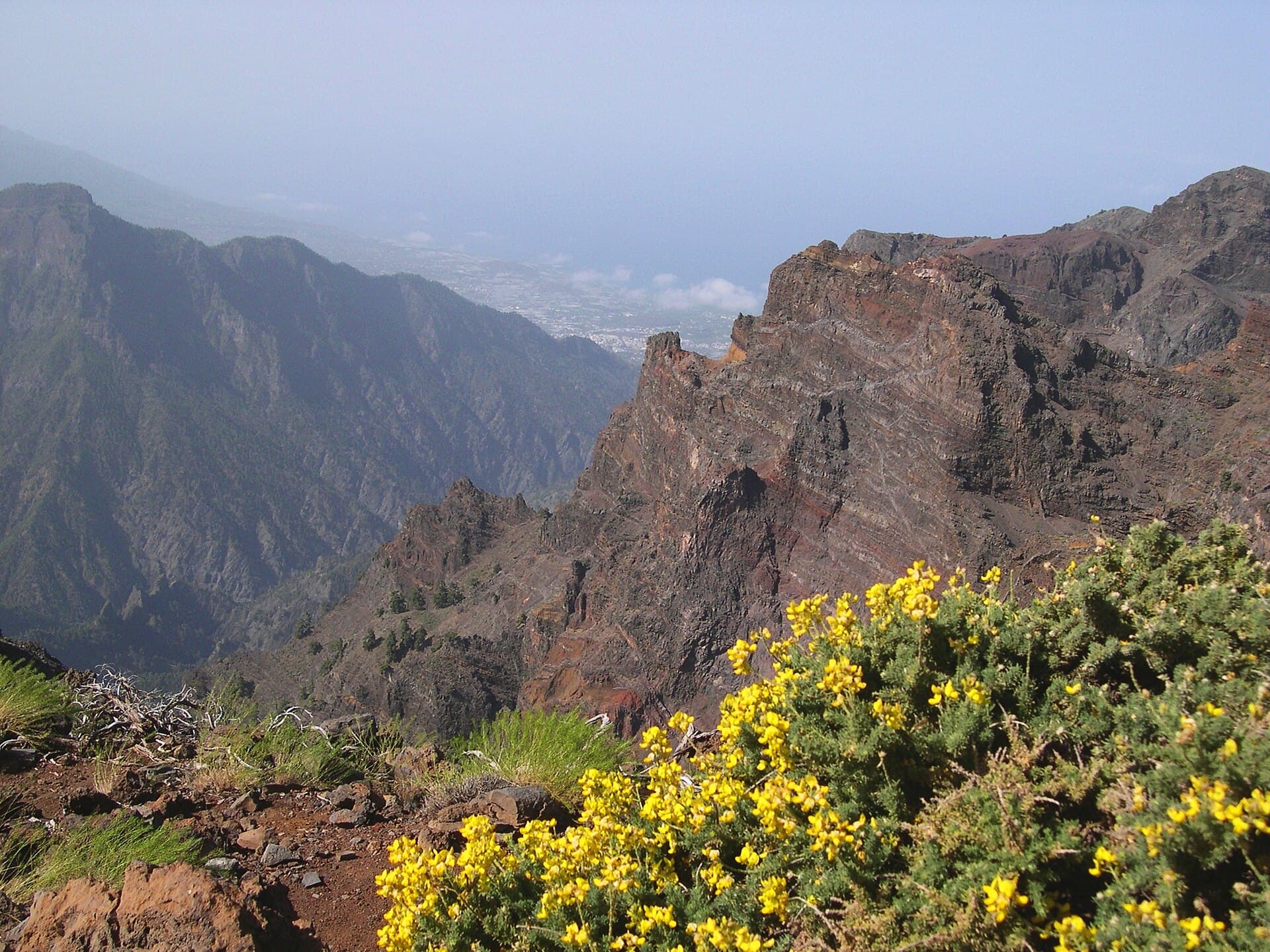
Roque de los Muchachos: La Palma’s Premier Summit for Astronomy and Views
Climb to the Canary Islands’ highest point on La Palma to experience world-class observatories, sweeping vistas, and…
9 November 2026
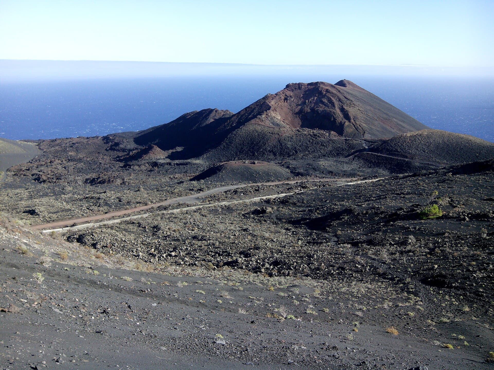
Discover the stark lava fields, crater rim trails, and sweeping views at Teneguía, the Canary Islands’ youngest volcano.
Teneguía rises on the southern tip of La Palma as the most recent volcanic cone in the Canary Islands, formed during the 1971 eruption. Its black cinder slopes and jagged lava flows create a lunar landscape that feels both raw and accessible. Hikers reach the crater rim for panoramic views across the island’s volcanic ridge and the Atlantic, while the surrounding malpaís offers striking contrasts of dark rock against the blue ocean.
The trailhead lies near the village of Fuencaliente. Drivers follow the LP-2 road south from Los Canarios or Santa Cruz de La Palma, then turn onto the paved access road that ends at a small parking area. From there a clear path climbs steadily to the cone. Public buses reach Fuencaliente; from the village center a 45-minute walk along the GR-131 long-distance trail leads to the same starting point. No special permits are required for day visits.
La Palma’s mild climate allows hiking most of the year, yet spring (March–May) and autumn (September–November) bring comfortable temperatures and fewer clouds. Summer days can turn hot on the exposed lava, while winter occasionally brings strong winds or brief showers. Early morning starts avoid afternoon sea breezes and provide the clearest light for photography.
The main loop circles the crater rim in roughly two hours, offering close views of the vent and colorful mineral deposits. A longer option continues along the lava delta to the coast, where the 1971 flow meets the sea. Bring sturdy shoes; the terrain is loose and uneven. Photographers favor the golden hour when the black rock glows against the sunset. Birdwatchers may spot Barbary falcons soaring above the ridge.
Combine a Teneguía visit with the San Antonio volcano trail just north, the salt evaporation ponds at the Fuencaliente lighthouse, or the black-sand beach at Playa del Faro. The nearby Teneguía winery produces volcanic-soil wines that pair well with local cheese after a hike.
The ascent is moderate, gaining about 200 meters over 1.5 km on a well-marked but rocky path suitable for most fit walkers.
A paved road reaches a parking area near the base; the final climb to the rim is on foot only.
The cone has been stable for decades; standard trail precautions apply, but no active volcanic hazards exist.
Local operators in Fuencaliente offer small-group hikes, though independent walking is straightforward with a map.
Sun protection, sturdy footwear, ample water, and a windbreaker are essential; there are no services on site.
Keep reading
Climb to the Canary Islands’ highest point on La Palma to experience world-class observatories, sweeping vistas, and…