Babine Lake: British Columbia’s Longest Natural Lake and Remote Wilderness Retreat
Pristine waters, legendary salmon runs, and vast surrounding forests define this northern BC destination.
Why Babine Lake Stands Out
Babine Lake stretches roughly 150 kilometres through the Skeena region, making it British Columbia’s longest natural lake. Its clear, deep waters and surrounding old-growth forests create a quiet, uncrowded setting far from coastal crowds. The lake supports one of the province’s most important sockeye salmon runs and offers excellent opportunities to observe wildlife such as moose, black bears, and bald eagles along the shoreline.
Things to Do
Anglers travel here for chinook, sockeye, rainbow trout, and lake trout. Drift or troll along the deeper central basin or cast from rocky points near the Babine River outlet. Non-anglers enjoy paddling the protected eastern bays, where calm water and frequent wildlife sightings reward slow travel by kayak or canoe. Short hikes lead to viewpoints above the lake and to the historic site of Fort Babine, once a key Hudson’s Bay Company post.
Boating and Access on the Water
Public boat launches exist at several points along the western and southern shores. Because the lake is large and subject to sudden winds, most visitors travel with a reliable motor or join a local guide. Floatplane operators based near Smithers can drop anglers at remote camps along the eastern arm for multi-day trips.
Getting There
The lake lies roughly 80 kilometres northeast of Smithers and 60 kilometres north of Burns Lake. Paved and gravel forestry roads reach the western shore from Highway 16; the final stretches can be rough after heavy rain. Visitors without high-clearance vehicles often arrange transfers from Smithers or stay at lakeside lodges that provide shuttle service.
Best Time to Visit
July through early September brings the warmest weather and peak salmon activity. Late August and September offer excellent trout fishing after the sockeye run and fewer insects. Shoulder months of June and October provide solitude but require preparation for cool nights and possible early snow. Winter ice fishing is popular with locals once the lake freezes solidly, usually by late January.
Nearby Attractions
Combine a lake visit with stops at the nearby Babine Mountains Provincial Park for alpine hiking or the historic village of Fort St. James on Stuart Lake. The region’s many smaller lakes and rivers also support day trips for those seeking additional paddling or fishing options.
Visitor tips
- Carry extra fuel and a full-size spare tire; cell service is absent on most approach roads.
- Pack layers and rain gearu2014afternoon winds can make open-water travel cold even in summer.
- Practice strict bear-aware camping; food storage lockers or hang methods are essential at backcountry sites.
Frequently asked questions
Is Babine Lake good for fishing?
Yes. The lake is renowned for its sockeye salmon run and strong populations of rainbow trout, lake trout, and chinook. Guided trips and remote camps are popular because many prime spots are accessible only by boat.
Are there campgrounds at Babine Lake?
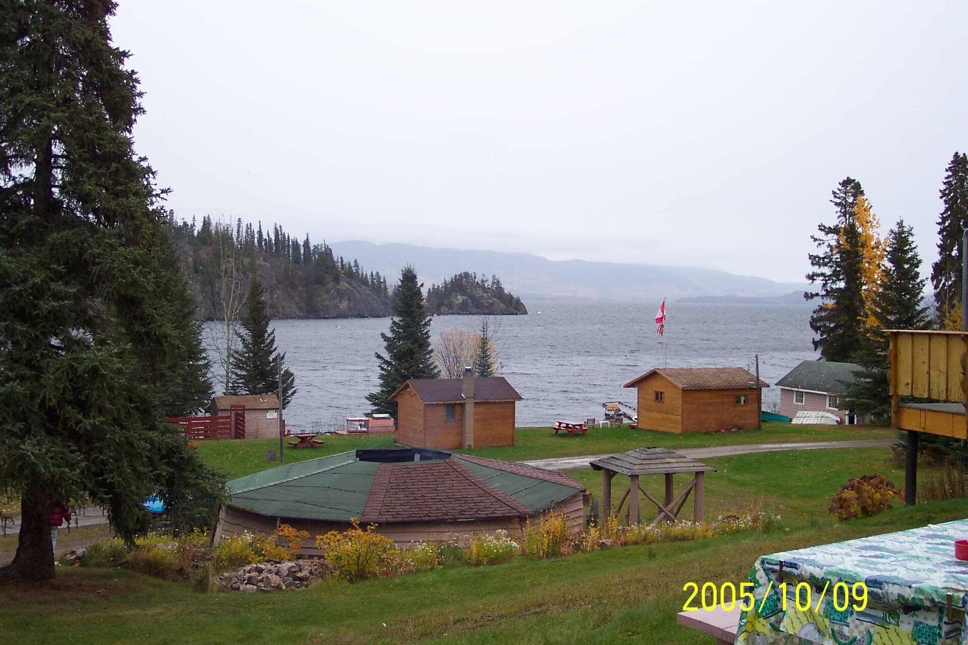
Several provincial recreation sites and private lodges offer lakeside camping and cabins. Reservations are recommended in peak summer; many sites remain first-come, first-served.
How do I reach the eastern shore of the lake?
Most visitors use a boat or floatplane. Limited forestry roads reach a few points on the east side, but they are seasonal and require high-clearance vehicles.
What wildlife might I see?
Black bears, grizzlies, moose, and bald eagles are commonly sighted, especially near river mouths during the salmon run. Always maintain a safe distance and store food properly.
Is the lake suitable for families?
Families with older children who enjoy fishing or paddling do well here. Remote conditions mean limited services, so plan for self-sufficiency and bring activities for variable weather.