The Fraser River: Exploring British Columbia’s Longest Waterway
Follow the Fraser from its headwaters in the Rockies through deep canyons and fertile valleys rich with salmon runs and gold-rush history.
Why the Fraser River Matters
The Fraser River drains much of southern British Columbia, carving dramatic canyons and supporting one of the world’s largest salmon migrations. Its 1,375-kilometre course begins near Mount Robson and ends at the Strait of Georgia, passing through remote wilderness, historic towns, and productive farmland.
Key Places to Visit
Fraser Canyon and Hell’s Gate
Between Boston Bar and Yale the river squeezes through sheer granite walls. Walk the short trails to overlooks above Hell’s Gate for views of the turbulent water and the aerial tram that crosses the narrows. The same stretch features the remains of the 19th-century Cariboo Wagon Road blasted into the cliffs.
Hope to Lytton
This section mixes white-water rapids with gentle floats. Rafting companies launch from near Hope; quieter kayakers put in farther upstream at the Coquihalla confluence. At Lytton the clear Thompson River joins the silty Fraser, creating a striking two-tone current visible from the highway pullouts.
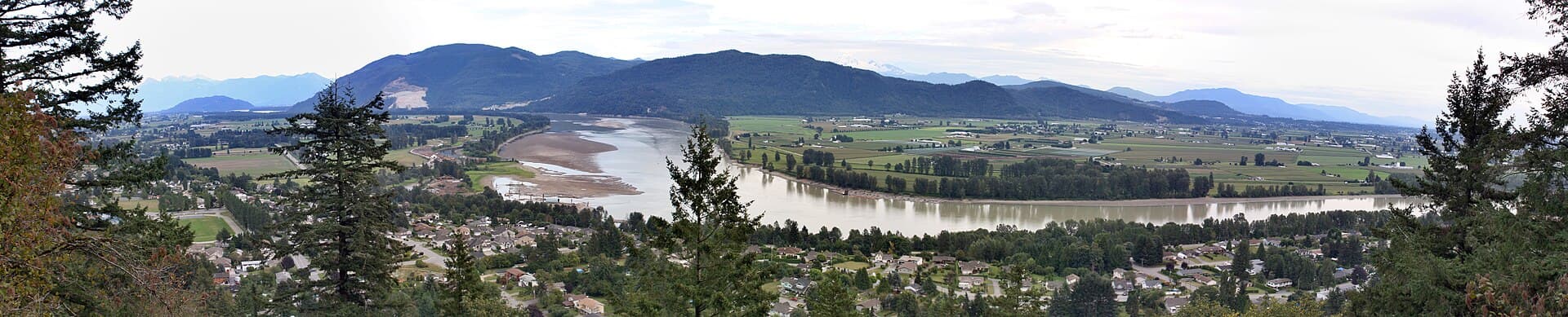
Fraser Valley Farmland
Downstream of Chilliwack the river widens into a broad floodplain. Cycle the dike trails that protect berry fields and dairy farms, or visit roadside stands selling fresh corn and blueberries in season.
Getting There
Most visitors reach the canyon section via the Trans-Canada Highway (Highway 1) from Vancouver (two to three hours to Hope) or Kamloops. VIA Rail’s Canadian and Rocky Mountaineer trains follow the river for long stretches, offering car-free scenery between Vancouver and Jasper. Local roads such as Highway 97 and the old Cariboo Highway provide slower, closer access to viewpoints and put-ins.
Best Time to Visit
July and August bring warm weather for rafting and hiking, while late September and October coincide with peak salmon runs visible from riverbanks. Spring run-off creates the biggest rapids; shoulder-season visits avoid summer crowds at popular pullouts.
Nearby Attractions
- Historic Yale, once the head of steamboat navigation.
- Stein Valley Nlaka’pamux Heritage Park for backcountry hiking.
- Fort Langley National Historic Site near the river’s tidal reach.
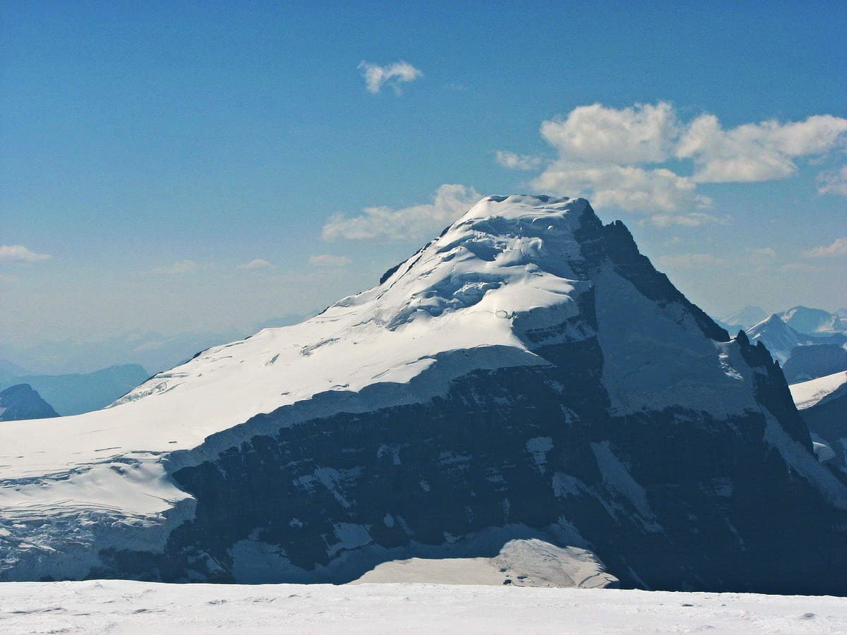
- Mount Robson Provincial Park, source of the Fraser’s headwaters.
Visitor tips
- Carry bear spray and make noise when walking trails near spawning streams in fall.
- Check river levels and commercial rafting cancellations before driving to remote put-ins; spring melt can close roads.
- Fill the fuel tank in Hope or Cache Creeku2014services are sparse along the canyon stretches of Highway 1.
Frequently asked questions
Can I swim in the Fraser River?
The water is cold and fast-moving year-round; only experienced swimmers enter at designated beach areas near Fort Langley or Chilliwack during low-water summer months.
Are there guided rafting trips on the Fraser?
Yes, licensed operators run half- and full-day trips through the Fraser Canyon from bases near Hope and Boston Bar between May and September.
Where can I watch salmon spawning?
Accessible gravel bars near Hope, Yale, and the confluence with the Thompson River host large runs of sockeye and chinook from late summer into fall.
Is the Fraser River suitable for fishing?
The river supports world-class salmon and sturgeon fisheries; non-residents need a British Columbia tidal or freshwater licence and must follow seasonal closures.
How do I reach viewpoints without a car?
VIA Rail stops at Hope, Yale, and Lytton; local buses connect to trailheads, and some rafting companies offer shuttle service from Vancouver.