Skip to content
Plan & Tour
DestinationsItinerariesTravel BlogAboutContact
0Sign inPlan a trip
Plan & TourPlan & Tour

Travel guides, destination inspiration and curated itineraries for Canada, the USA and beyond, plus a free tool to plan your own day-by-day trip.

Get travel inspiration

Explore

  • All Destinations
  • Curated Itineraries
  • Travel Blog
  • Plan a Trip

Topics

  • Hiking & Nature
  • Food & Drink
  • City Breaks
  • Budget Travel

Company

  • About Us
  • Contact
  • Privacy Policy
  • Terms of Service

© 2026 Plan & Tour. Built for travellers.

Discover the world, one trip at a time.

Y
  1. Home
  2. Destinations
  3. Bolivia
  4. Yaritani: Trekking Bolivia’s Remote Andean Volcano
Mountain

Yaritani: Trekking Bolivia’s Remote Andean Volcano

Explore the stark volcanic landscapes and Aymara heritage around Yaritani mountain in western Bolivia.

BoliviaUpdated 12 October 2026

Why Yaritani Stands Out

Yaritani rises as an isolated volcanic cone in Bolivia’s western altiplano, offering hikers rare solitude amid vast salt flats, bofedales wetlands, and jagged cordillera views. Unlike the crowded trails near Sajama, this peak rewards travelers with unspoiled perspectives of the Chile-Bolivia border volcanoes and the chance to witness traditional llama herding communities that still maintain ancient routes across the plateau.

Reaching the Mountain

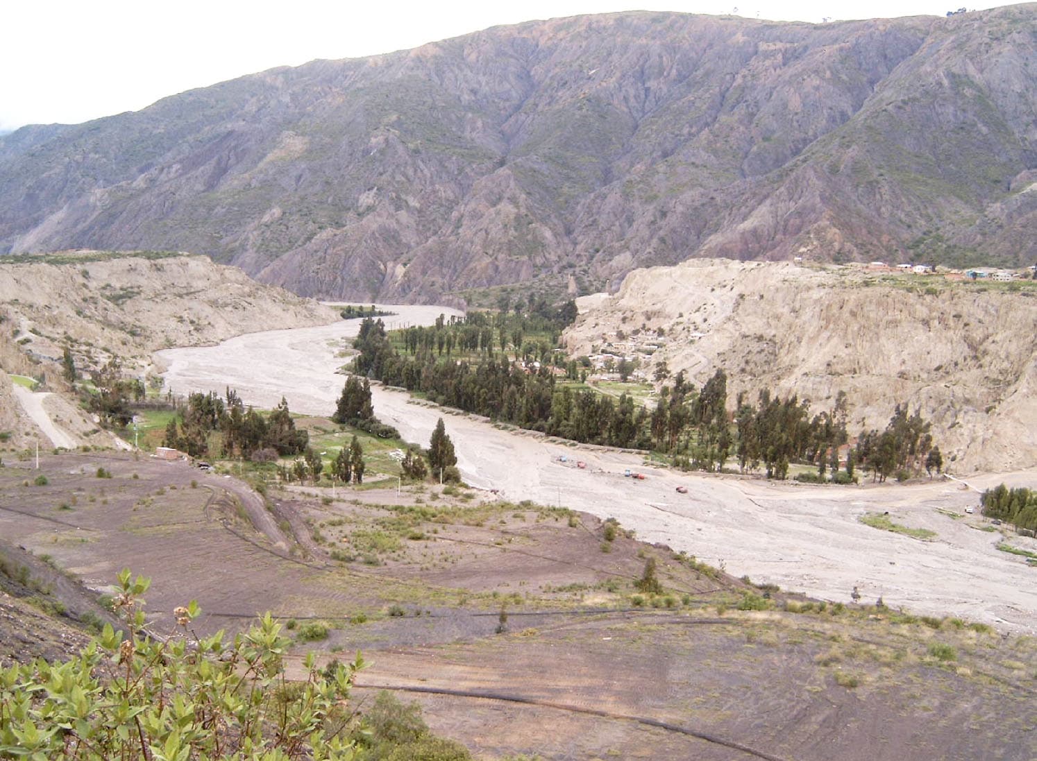
Access begins in the town of Sajama or the smaller settlement of Caripe. Most visitors arrange 4×4 transport from La Paz via the paved highway to Tambo Quemado, then turn south on rough tracks that skirt the Sajama National Park boundary. The final approach to the base camp area follows a dry riverbed that can flood after rare rains; experienced drivers know the seasonal crossings. Public buses reach the general region but leave hikers with long walks or the need to hire local vehicles.

Best Season for Hiking

The clearest skies and driest trails occur between May and early October. June through August brings the coldest nights, often below freezing, while September and October offer longer daylight for summit attempts. The wet season from December to March turns surrounding plains into mud and raises the risk of flash floods in canyons.

Activities Around Yaritani

Day hikes circle the lower slopes past obsidian outcrops and pre-Inca burial towers called chullpares. Stronger walkers can attempt the non-technical ascent of the main cone, which involves loose scree and a final ridge walk with expansive views toward Parinacota and Pomerape. Photographers favor sunrise from the eastern flanks for dramatic shadows across the altiplano. Cultural visits to nearby Aymara villages allow observation of traditional weaving and quinoa cultivation at extreme altitude.

Essential Preparation

Altitude exceeds 5,000 meters at the base, so spend at least two nights in Sajama village first. Carry plenty of water; natural sources are scarce and often shared with livestock. Sturdy boots, windproof layers, and sun protection are mandatory. Local guides from Caripe can point out safe routes and share stories of the mountain’s spiritual importance to the community.

Visitor tips

  • Acclimatize for several days in Sajama village before attempting any high routes around Yaritani.
  • Hire a local 4x4 and driver in Caripe rather than attempting the final tracks with a standard rental vehicle.
  • Pack extra fuel, food, and a satellite communicator; the area has no cell coverage and limited rescue options.

Frequently asked questions

How high is Yaritani?+

The summit reaches approximately 5,920 meters, placing it among the higher peaks of the Sajama volcanic complex.

Do I need a guide to climb Yaritani?+

A local guide is strongly recommended for route-finding on the loose upper slopes and for navigating private community lands.

Is camping allowed near the mountain?+

Basic wild camping is possible with permission from nearby herding families; there are no formal campgrounds or facilities.

What wildlife might I see?+

Vicuu00f1as, Andean foxes, and occasional flamingos in the seasonal wetlands are the most common sightings around the base.

Can I combine Yaritani with Sajama National Park?+

Yes; the mountain lies just outside the park boundary, so many travelers visit both areas on the same multi-day trip from La Paz.

Share
Google Maps Apple Maps Directions

Keep reading

Nearby & related

All stories
La Paz River: Rafting and Canyon Adventures in Bolivia
La Paz Department

La Paz River: Rafting and Canyon Adventures in Bolivia

Follow the La Paz River through Andean canyons from the highlands into the Yungas for rafting, scenery, and cultural…

13 October 2026
L
La Paz Department

Leque River: Bolivia’s Andean Waterway in La Paz Department

Follow the clear waters of the Leque River through rugged valleys and quiet Aymara communities in Bolivia’s La Paz…

13 October 2026
Tahuamanu River: Bolivia’s Remote Amazonian Waterway in Pando
Pando Department

Tahuamanu River: Bolivia’s Remote Amazonian Waterway in Pando

Venture deep into the Pando rainforest along the Tahuamanu River for wildlife-rich boat journeys and authentic jungle…

13 October 2026