Skip to content
Plan & Tour
DestinationsItinerariesTravel BlogAboutContact
0Sign inPlan a trip
Plan & TourPlan & Tour

Travel guides, destination inspiration and curated itineraries for Canada, the USA and beyond, plus a free tool to plan your own day-by-day trip.

Get travel inspiration

Explore

  • All Destinations
  • Curated Itineraries
  • Travel Blog
  • Plan a Trip

Topics

  • Hiking & Nature
  • Food & Drink
  • City Breaks
  • Budget Travel

Company

  • About Us
  • Contact
  • Privacy Policy
  • Terms of Service

© 2026 Plan & Tour. Built for travellers.

Discover the world, one trip at a time.

Teerhof: Exploring Bremen’s Riverside Archaeological Site
  1. Home
  2. Destinations
  3. Bremen
  4. Teerhof: Exploring Bremen’s Riverside Archaeological Site
Archaeological site

Teerhof: Exploring Bremen’s Riverside Archaeological Site

Trace centuries of Bremen's trading past at this compact island excavation on the Weser.

BremenUpdated 14 October 2026

Why Teerhof Matters

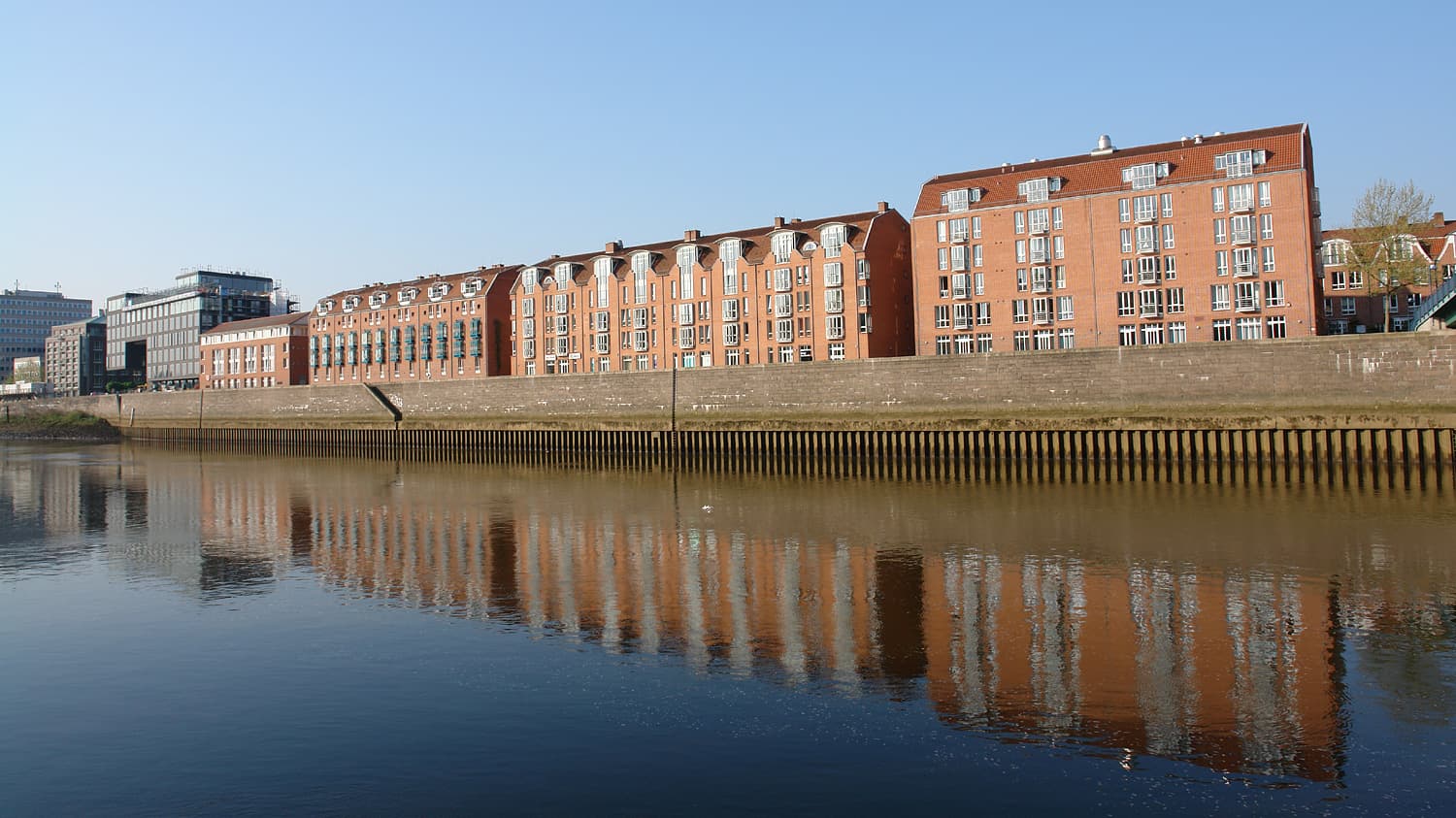
Teerhof occupies a narrow island in the Weser River just upstream from Bremen’s historic harbor. Excavations have revealed successive layers of medieval wharves, warehouses, and shipyards that powered the city’s Hanseatic wealth. Visitors walk among exposed stone foundations and timber alignments that illustrate how the river shaped daily life from the 13th century onward.

What You Will See

Interpretive panels beside the trenches explain the evolution of the site from early landing stages to later brick-built quays. Look for the outlines of a 15th-century crane base and the stone slipway where cogs were repaired. A short riverside path links the main excavation area to a small viewing platform overlooking the current harbor traffic.

Practical Layout

  • The island is reached by a single pedestrian bridge from the Schlachte promenade.
  • Most visible remains lie within a 200-meter loop trail that takes 30-45 minutes to complete at a leisurely pace.
  • Flat, paved surfaces make the site accessible for wheelchairs and strollers, though some interpretive signs sit at ground level.

Getting There

From Bremen Hauptbahnhof, take tram line 4 or 6 to the “Schlachte” stop, then walk five minutes to the bridge. Cyclists can use the riverside path that continues north toward the Überseehafen. If arriving by car, limited parking exists along the Schlachte; most visitors combine Teerhof with a walk through the nearby Schnoor quarter.

Best Time to Visit

Spring through early autumn offers the most comfortable conditions for lingering beside the water. In winter the site remains open but the river wind can be sharp; the low sun also highlights earthwork patterns that are harder to read in summer foliage. Early morning or late afternoon reduces crowds and improves photography of the stone alignments.

Nearby Attractions

Combine your visit with the Bremen Cathedral and its famous Roland statue, both a ten-minute walk away. The Schnoor medieval quarter lies immediately south and offers half-timbered streets and artisan shops. For a longer riverside stroll, continue downstream to the modern Übersee-Museum, which houses many of the smaller artifacts recovered from Teerhof itself.

Visitor tips

  • Wear shoes with good grip; the stone surfaces can be slippery after rain.
  • Download the free Bremen archaeology app beforehand for audio commentary that works offline at the site.
  • Visit early on weekdays to avoid school groups that often arrive mid-morning.
  • Bring binoculars to watch river traffic while standing on the viewing platform.

Frequently asked questions

Is Teerhof an active dig or a finished site?+

Excavation work has concluded; the exposed foundations are preserved for public viewing with permanent interpretive panels.

Are there restrooms or cafu00e9s on the island?+

No facilities exist on Teerhof itself. The nearest cafu00e9s and public toilets are a three-minute walk back across the bridge on the Schlachte promenade.

Can I take photographs of the archaeological remains?+

Photography for personal use is permitted. Tripods and commercial shoots require prior permission from the city heritage office.

Is the site suitable for children?+

Yes. The short, flat loop trail and riverside setting make it engaging for families; however, parents should supervise near the water's edge.

How does Teerhof connect to the rest of Bremen's history?+

The island's wharves supplied the ships that carried Bremen's medieval trade; many finds from the site are displayed at the u00dcbersee-Museum nearby.

Share
Google Maps Apple Maps Directions

Image: Jürgen Howaldt · CC BY-SA 3.0 de · via Wikimedia Commons

Keep reading

Nearby & related

All stories
Krietes Wald (Im Holze): A Protected Forest Sanctuary Near Bremen
Osterholz

Krietes Wald (Im Holze): A Protected Forest Sanctuary Near Bremen

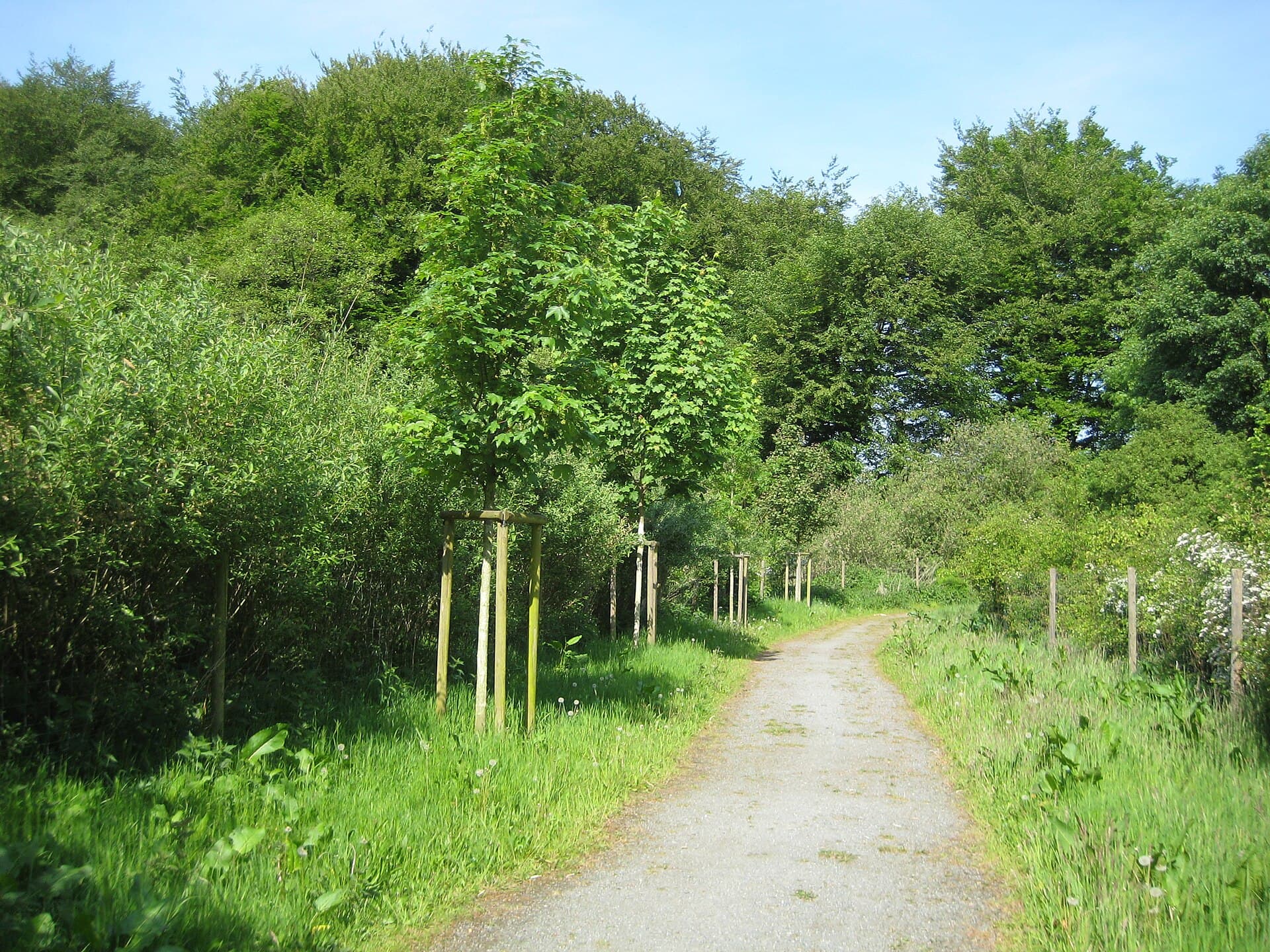
This quiet woodland reserve in Osterholz offers peaceful trails through ancient trees and habitats for native wildlife…

15 October 2026
Hochwasserschutzpolder zwischen Senator-Apelt-Straße und Neustädter Hafen: A Quiet Nature Retreat in Bremen’s Port District
Häfen

Hochwasserschutzpolder zwischen Senator-Apelt-Straße und Neustädter Hafen: A Quiet Nature Retreat in Bremen’s Port District

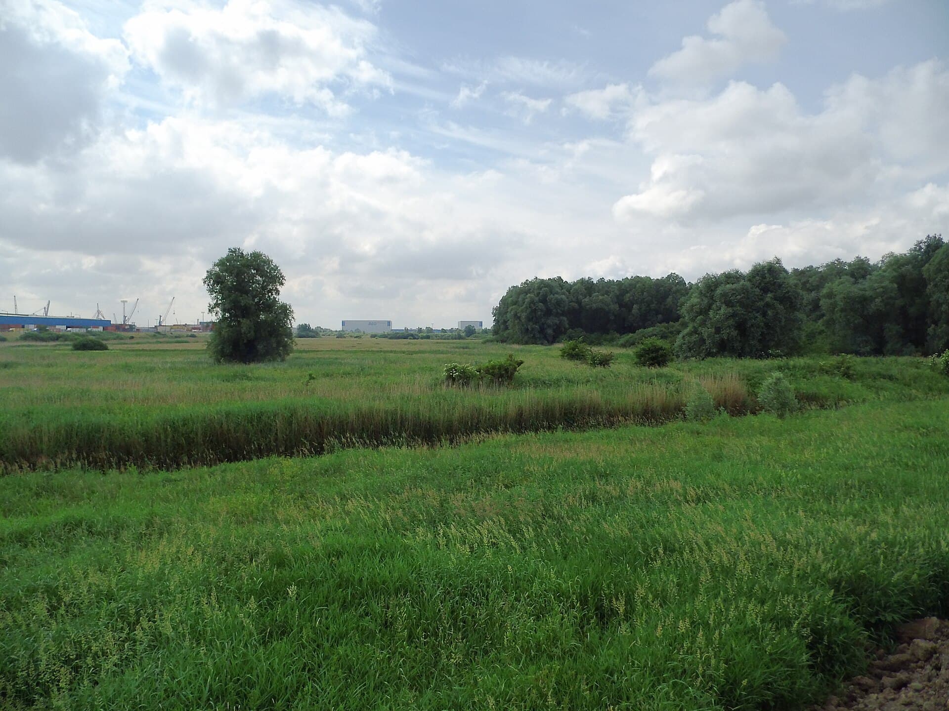
This protected flood-control polder offers peaceful walking paths, harbor views, and wildlife habitat right in the heart…

15 October 2026
Vogelschutzgehölz Sodenmatt: A Quiet Bird Sanctuary in Bremen’s Huchting District
Huchting

Vogelschutzgehölz Sodenmatt: A Quiet Bird Sanctuary in Bremen’s Huchting District

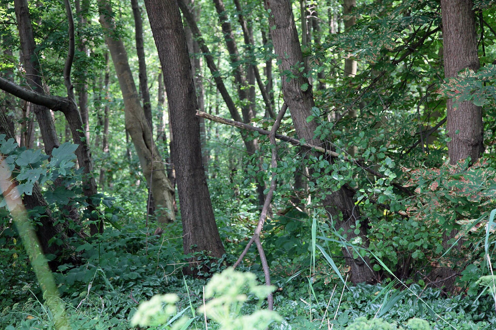
This protected woodland in western Bremen offers excellent birdwatching and gentle walks amid native trees and wetlands.

15 October 2026