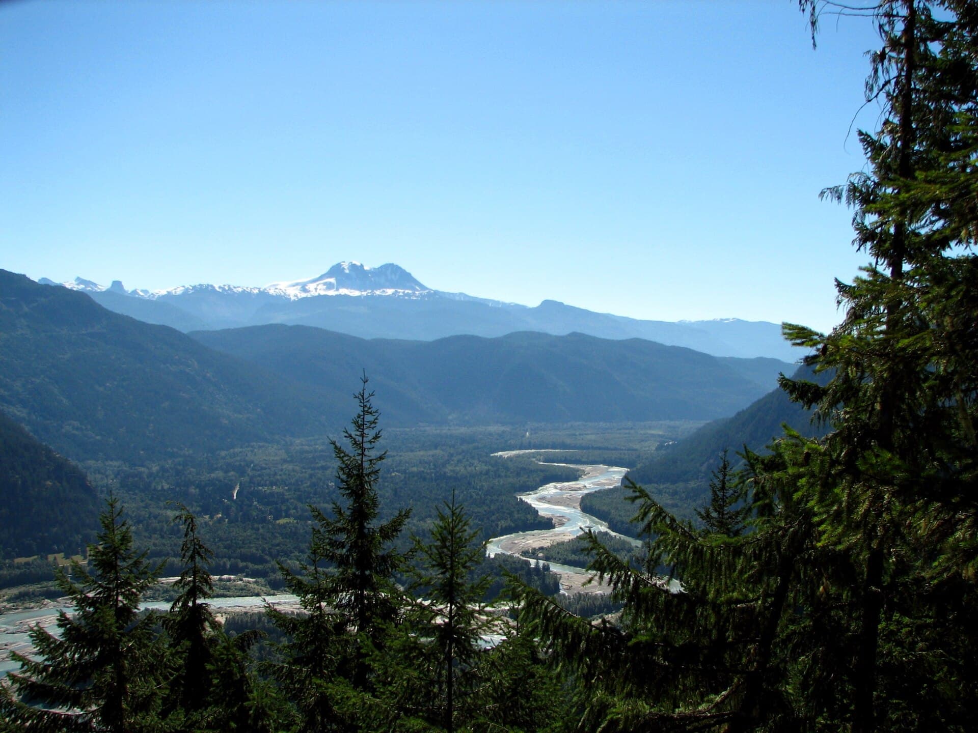
Why the Squamish River Stands Out
The Squamish River drains the glaciers of the Tantalus Range and flows 80 kilometres south to Howe Sound, carving a wide valley that mixes fast water, braided channels and old-growth forest. Its combination of reliable salmon runs, Class III–IV rapids and easy road access makes it one of the most visited rivers in southwestern British Columbia.
Activities on and Beside the Water
Fishing
Chinook, coho, pink and chum salmon enter the river from late summer into fall; steelhead appear in winter and early spring. Drift-fishing from gravel bars or float trips with a guide are the most common methods. Always check current angling regulations and obtain the necessary licences before heading out.
Whitewater Rafting and Kayaking
Commercial rafting companies run daily trips on the lower canyon and the Cheakamus confluence section. Experienced kayakers find play spots at the put-ins near Brackendale and below the Ashlu Creek confluence. Water levels are highest in May and June from snowmelt, then again in fall after rain.
Hiking and Wildlife Viewing
The river’s gravel bars and side channels attract hundreds of bald eagles each winter, especially between January and March. Short trails along the dike near the Squamish Estuary give easy viewing. Longer hikes start from the Squamish Valley Road and climb into the surrounding mountains for ridge-top views of the river corridor.
Getting There
From Vancouver, drive north on Highway 99 for about 60 kilometres to Squamish. Turn west on Mamquam Road or Squamish Valley Road to reach public access points. The Sea-to-Sky Highway also provides several pullouts with river views. No public transit serves the upper river; a car or organised tour is required.
Best Time to Visit
July and August offer the warmest weather for rafting and camping. September and October bring peak salmon runs and fewer bugs. Winter visits are worthwhile for eagle watching, though river levels are low and some side roads may be icy. Spring runoff creates the biggest whitewater but also the highest risk of flooding on low-lying roads.
Nearby Destinations
- Garibaldi Provincial Park – hiking and camping above the river’s headwaters
- Brackendale Eagles Provincial Park – dedicated winter viewing area
- Stawamus Chief – world-famous granite rock climb visible from the lower valley
- Whistler – 50-minute drive north for additional alpine activities