Skip to content
Plan & Tour
DestinationsItinerariesTravel BlogAboutContact
0Sign inPlan a trip
Plan & TourPlan & Tour

Travel guides, destination inspiration and curated itineraries for Canada, the USA and beyond, plus a free tool to plan your own day-by-day trip.

Get travel inspiration

Explore

  • All Destinations
  • Curated Itineraries
  • Travel Blog
  • Plan a Trip

Topics

  • Hiking & Nature
  • Food & Drink
  • City Breaks
  • Budget Travel

Company

  • About Us
  • Contact
  • Privacy Policy
  • Terms of Service

© 2026 Plan & Tour. Built for travellers.

Discover the world, one trip at a time.

Similkameen River: A Scenic Waterway Through British Columbia’s Southern Valleys
  1. Home
  2. Destinations
  3. British Columbia
  4. Similkameen River: A Scenic Waterway Through British Columbia’s Southern Valleys
River

Similkameen River: A Scenic Waterway Through British Columbia’s Southern Valleys

Follow the Similkameen River through dramatic canyons, fertile orchards, and quiet parks in the heart of the Similkameen Valley.

British ColumbiaUpdated 1 July 2026

Why the Similkameen River Draws Visitors

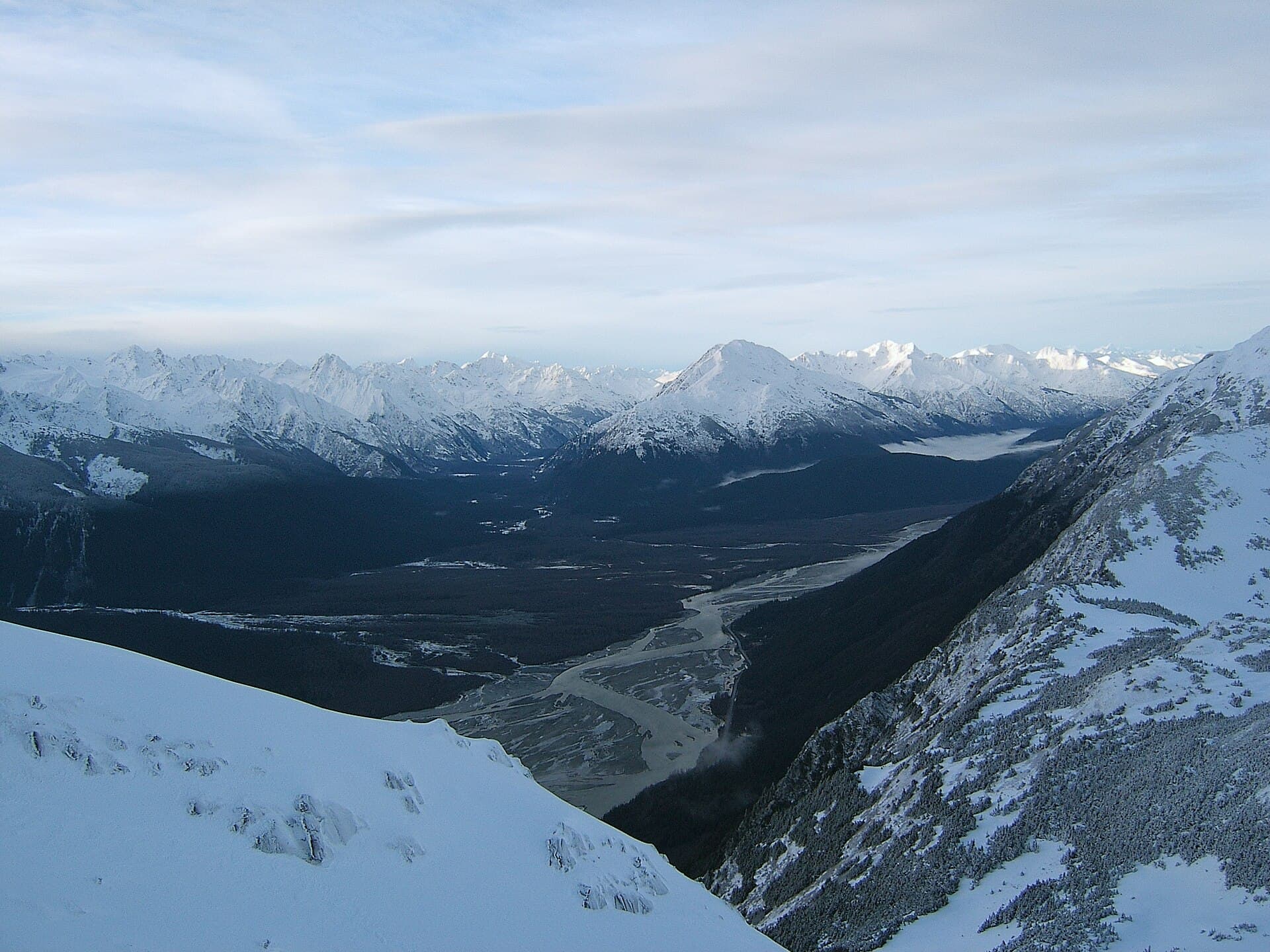
The Similkameen River carves a wide, fertile valley in southern British Columbia, offering a quieter alternative to the busier Okanagan corridor. Its clear waters flow from Manning Provincial Park westward through Princeton and Keremeos before crossing into Washington State. Travelers come for the combination of reliable fly fishing, gentle paddling sections, and roadside views framed by the Cascade Mountains and dry ponderosa slopes.

Getting There and Getting Around

Most visitors reach the river by Highway 3, the Crowsnest Highway. From Vancouver, the drive takes roughly three hours via Hope and the Coquihalla connector. From Penticton or Osoyoos, allow 45 to 90 minutes. Once in the valley, a network of secondary roads follows both banks, with pullouts near Princeton, Hedley, and Cawston providing river access. A high-clearance vehicle helps on gravel tracks that lead to remote fishing bars.

Best Time to Visit

Late May through early October brings reliable weather and fishable water levels. Spring runoff peaks in June, creating powerful currents best suited to experienced rafters. Late summer and early fall offer lower, clearer flows ideal for wading anglers and family floats. Autumn colors along the cottonwood galleries peak in October.

Activities on and Beside the Water

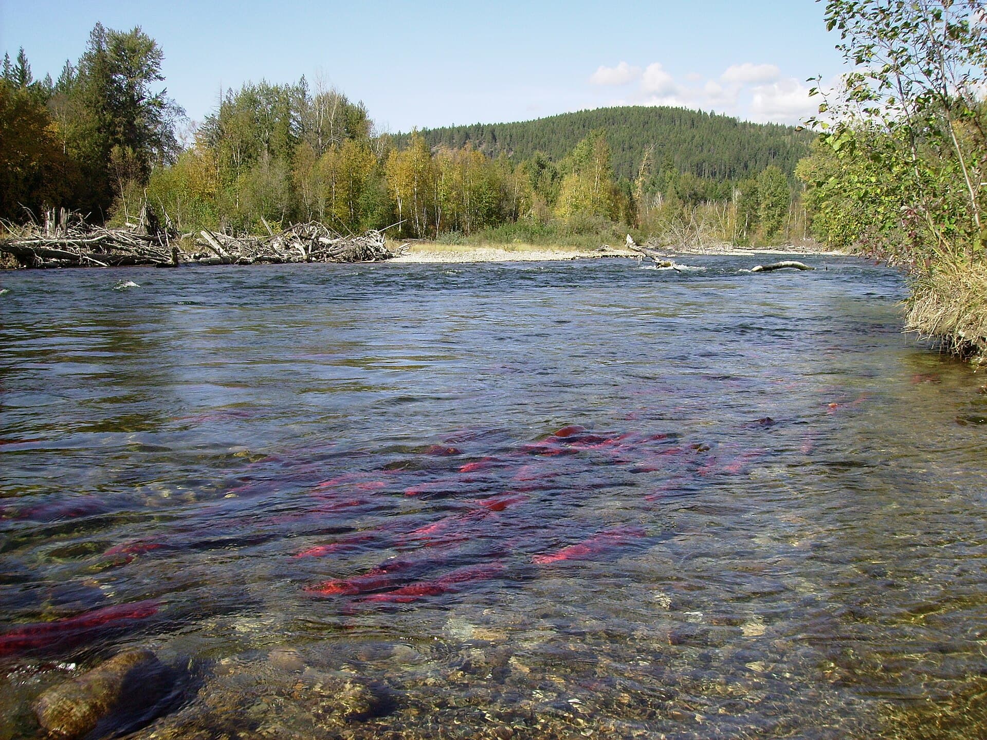
Anglers target wild rainbow trout and seasonal steelhead throughout the Canadian reach. Public access points cluster around Princeton and near the confluence with the Tulameen River. Kayakers and stand-up paddleboarders favor the slower stretches between Princeton and Hedley, while whitewater enthusiasts run the canyon below Manning Park when flows allow. Hikers enjoy riverside trails in Stemwinder Provincial Park and Bromley Rock Provincial Park, where short paths lead to overlooks and swimming holes.

Nearby Attractions Worth Combining

  • Similkameen Valley wineries clustered around Cawston and Keremeos
  • Cathedral Provincial Park’s alpine lakes reached via shuttle from the valley floor
  • The heritage mining town of Hedley and its Mascot Mine overlook
  • Orchard stands selling apricots, cherries, and peaches in season

Respecting the Landscape

Private land borders much of the lower river; stay on public rights-of-way and respect no-trespassing signs. Watch for flash-flood debris after thunderstorms and give wildlife, especially bears feeding on fallen fruit, plenty of space.

Visitor tips

  • Carry polarized sunglasses and a wading staff; river rocks are slippery and glare hides depth changes.
  • Fuel up in Princeton or Osoyoos; services thin out between towns along Highway 3.
  • Check current water levels and fishing regulations through provincial resources before heading out, as conditions change with snowmelt and releases.

Frequently asked questions

Is the Similkameen River suitable for beginners to paddle?+

The sections between Princeton and Hedley offer gentle currents suitable for novice kayakers and families when water levels are moderate.

Where can I find public river access points?+

Established pullouts exist at Bromley Rock Provincial Park, Stemwinder Provincial Park, and several unmarked gravel bars west of Princeton.

What fish are commonly caught in the Similkameen?+

Wild rainbow trout are present year-round, with steelhead runs in spring and fall; check current regulations for catch-and-release rules.

Are there campgrounds right on the river?+

Several provincial park campgrounds sit beside the river, including Stemwinder and Bromley Rock, offering basic sites with river access.

Can I combine a river visit with wine tasting?+

Yes. The lower valley near Cawston and Keremeos hosts several wineries a short drive from river access points.

Share
Google Maps Apple Maps Directions

Image: No machine-readable author provided. Doviende~commonswiki assumed (based on copyright claims). · CC BY-SA 2.5 · via Wikimedia Commons

Keep reading

Nearby & related

All stories
Chilkat River: Bald Eagle Capital Along the BC-Alaska Border
British Columbia

Chilkat River: Bald Eagle Capital Along the BC-Alaska Border

Float through salmon-rich waters teeming with eagles and bears in one of North America’s premier wildlife corridors.

1 July 2026
Adams River: Witnessing British Columbia’s Legendary Sockeye Salmon Migration
British Columbia

Adams River: Witnessing British Columbia’s Legendary Sockeye Salmon Migration

Discover the dramatic sockeye salmon runs, clear waters, and surrounding forests of Adams River in British Columbia’s…

1 July 2026
Dease River: Wilderness Fishing and Canoeing in Northern British Columbia
British Columbia

Dease River: Wilderness Fishing and Canoeing in Northern British Columbia

This remote northern river offers world-class angling and untouched wilderness along the Cassiar Highway corridor.

1 July 2026