Skip to content
Plan & Tour
DestinationsItinerariesTravel BlogAboutContact
0Sign inPlan a trip
Plan & TourPlan & Tour

Travel guides, destination inspiration and curated itineraries for Canada, the USA and beyond, plus a free tool to plan your own day-by-day trip.

Get travel inspiration

Explore

  • All Destinations
  • Curated Itineraries
  • Travel Blog
  • Plan a Trip

Topics

  • Hiking & Nature
  • Food & Drink
  • City Breaks
  • Budget Travel

Company

  • About Us
  • Contact
  • Privacy Policy
  • Terms of Service

© 2026 Plan & Tour. Built for travellers.

Discover the world, one trip at a time.

Riscos de Tirajana: Hiking the Striking Cliffs of Gran Canaria
  1. Home
  2. Destinations
  3. San Bartolomé de Tirajana
  4. Riscos de Tirajana: Hiking the Striking Cliffs of Gran Canaria
Protected area

Riscos de Tirajana: Hiking the Striking Cliffs of Gran Canaria

Explore the dramatic volcanic cliffs, trails, and protected landscapes of this rugged natural area in southern Gran Canaria.

San Bartolomé de TirajanaUpdated 12 November 2026

Why Riscos de Tirajana Stands Out

Riscos de Tirajana protects a striking stretch of eroded volcanic cliffs and deep ravines on the island of Gran Canaria. The area showcases the island’s dramatic geology formed by ancient eruptions and erosion, creating steep rock faces that rise above the Tirajana valley. Visitors come for the raw, unspoiled scenery and the sense of solitude found just minutes from the busy southern resorts.

What to See and Do

Well-marked hiking paths wind along the cliff edges and descend into dry riverbeds. Expect panoramic views across the valley toward the sea on clear days. The terrain supports hardy native plants adapted to the arid conditions, including succulents and shrubs that bloom after winter rains. Birdwatchers may spot local species such as Barbary partridges and various raptors using the cliffs for nesting.

Practical Hiking Advice

Trails range from short viewpoints to longer loops that connect different sections of the protected zone. Sturdy footwear is essential because paths cross loose volcanic gravel and occasional rocky steps. Carry ample water, as shade is limited and temperatures rise quickly even outside peak summer.

Getting There

The reserve lies within San Bartolomé de Tirajana municipality. Most visitors arrive by rental car from the southern tourist centers of Maspalomas or Playa del Inglés. Several signposted access points lead from the GC-65 and local roads into the area. Public buses reach nearby villages, after which a short taxi or walk completes the journey.

Best Time to Visit

Winter and spring offer the mildest temperatures for hiking and a higher chance of seeing green vegetation after rains. Summer visits are possible but require early starts to avoid midday heat. The area remains accessible year-round, though strong winds can occur on exposed ridges at any season.

Nearby Attractions

Combine a visit with the mountain village of Tejeda or the iconic Roque Nublo rock formation farther north. South-coast beaches provide easy contrast after a morning on the cliffs, while the agricultural terraces around Fataga offer additional short walks and viewpoints.

Visitor tips

  • Wear sturdy hiking shoes with good grip for loose gravel and rocky sections.
  • Bring at least two liters of water per person, as there are no facilities inside the protected area.
  • Start early in the day to avoid strong winds and midday heat on the exposed ridges.

Frequently asked questions

Is Riscos de Tirajana suitable for beginners?+

Short, relatively flat paths near the main viewpoints work for casual walkers, but longer trails involve steep drops and uneven ground best suited to those with moderate fitness.

Are dogs allowed in the protected area?+

Dogs are permitted on leads on designated paths, but owners must clean up after them to protect the fragile ecosystem.

Can I camp overnight in Riscos de Tirajana?+

Wild camping is not permitted within the protected zone; the nearest official campsites are located outside the reserve boundaries.

What should I wear for a visit?+

Light, breathable layers, a hat, sunglasses, and strong closed-toe shoes are recommended. Bring a windproof jacket for ridge sections.

Is there mobile phone coverage?+

Signal is generally available near the main access roads but can drop in deeper ravines; download offline maps before entering.

Share
Google Maps Apple Maps Directions

Image: Bjoertvedt · CC BY-SA 3.0 · via Wikimedia Commons

Keep reading

Nearby & related

All stories
Meloneras Beach: Gran Canaria’s Quiet Southern Shoreline Escape
San Bartolomé de Tirajana

Meloneras Beach: Gran Canaria’s Quiet Southern Shoreline Escape

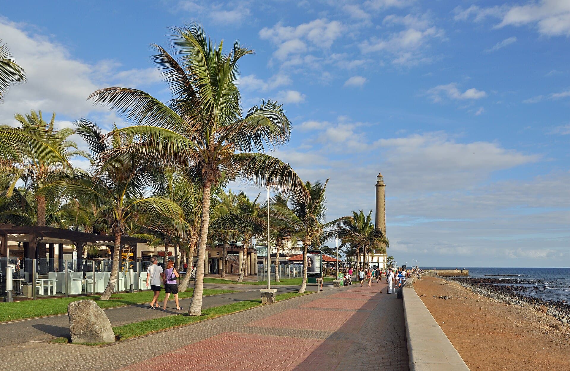
Meloneras offers wide volcanic-sand beaches, a palm-lined promenade, and easy access to the Maspalomas dunes without the…

12 November 2026
Maspalomas Lighthouse: Gran Canaria’s Historic Sentinel Over the Dunes
San Bartolomé de Tirajana

Maspalomas Lighthouse: Gran Canaria’s Historic Sentinel Over the Dunes

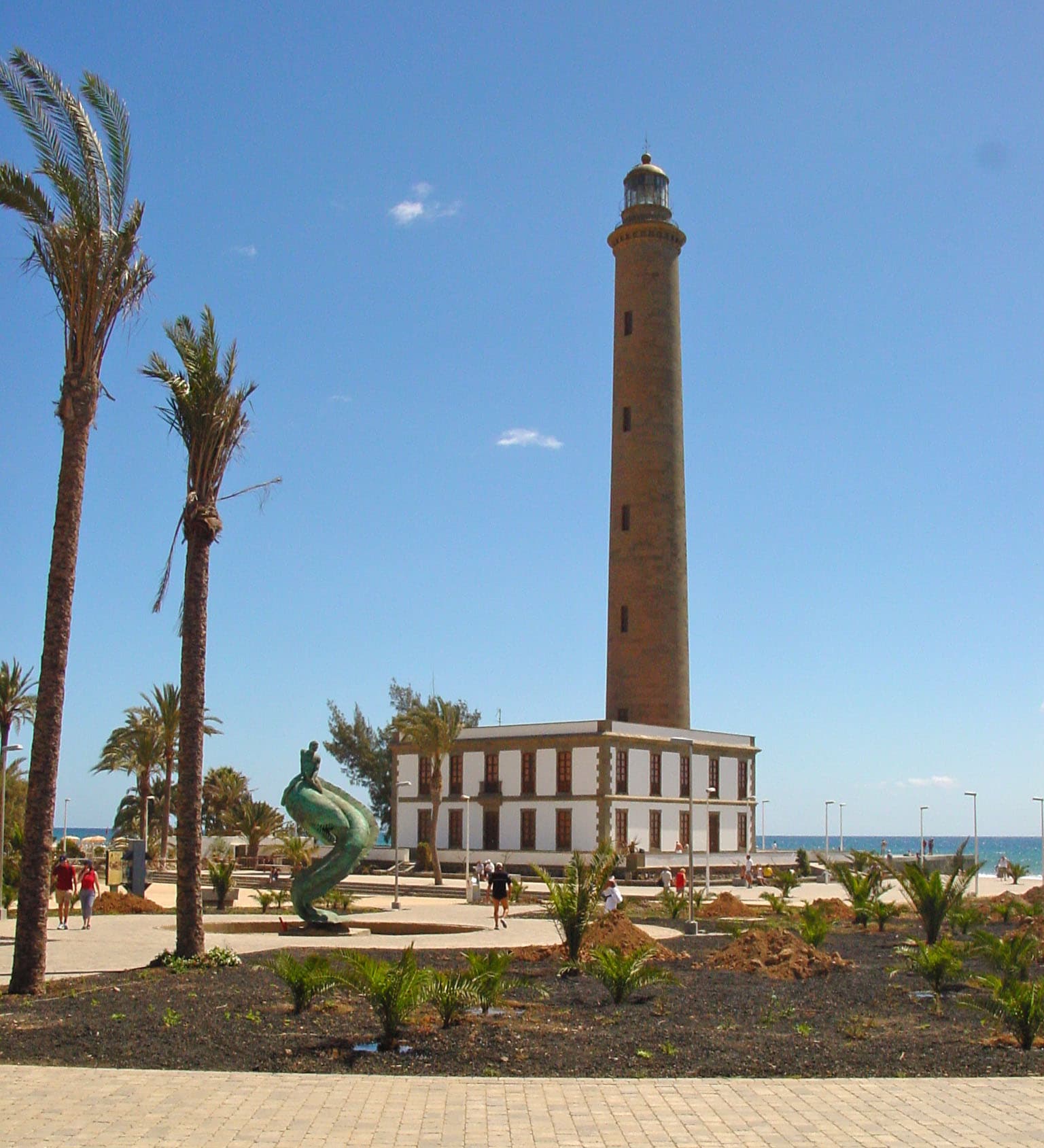
Explore the 19th-century lighthouse that watches over Maspalomas’ vast dunes, beaches, and Atlantic horizon in southern…

12 November 2026
Maspalomas Dunes: Walking Gran Canaria’s Shifting Golden Sands
San Bartolomé de Tirajana

Maspalomas Dunes: Walking Gran Canaria’s Shifting Golden Sands

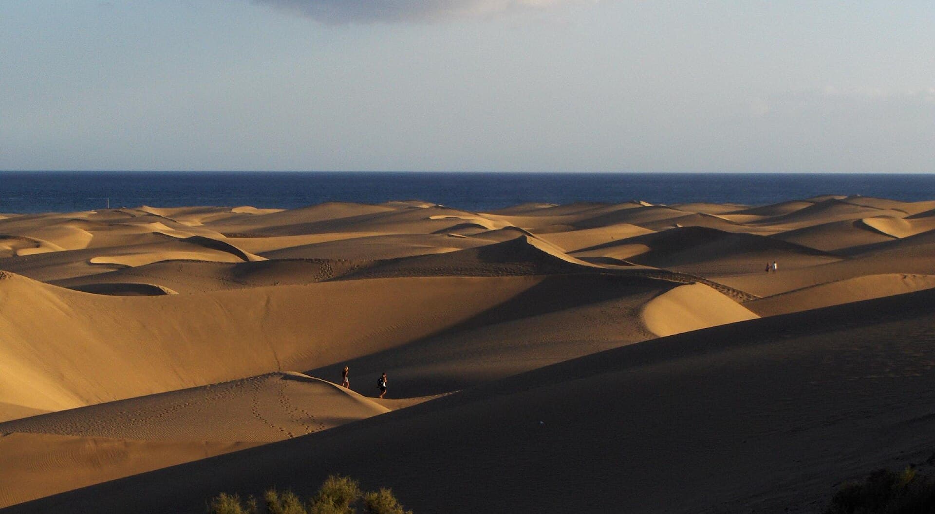
Experience the vast protected dunes, endless Atlantic beach, and unique desert-meets-ocean landscape of Maspalomas on…

9 November 2026