Keep reading
Nearby & related
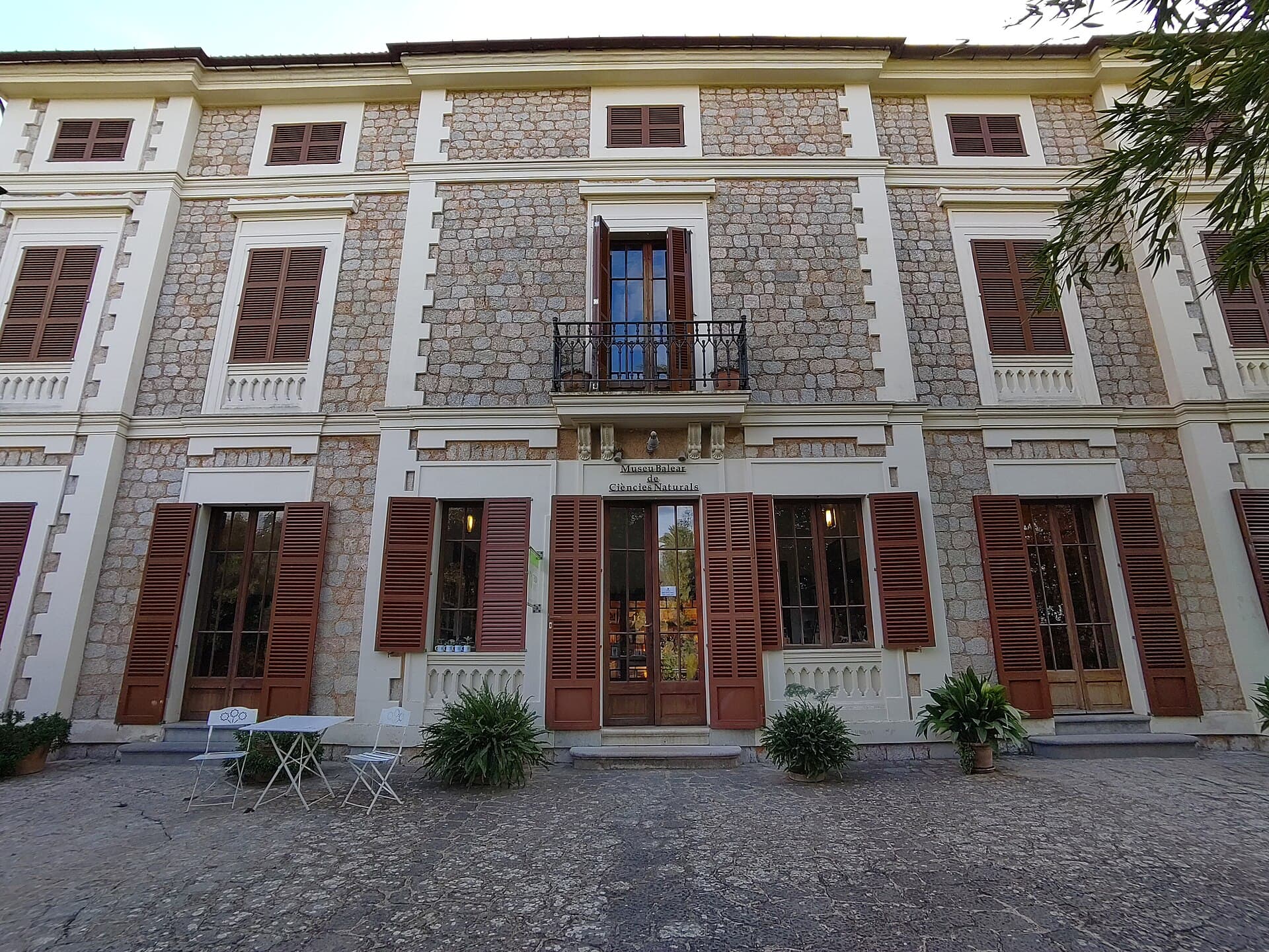
Museu Balear de Ciències Naturals: Mallorca’s Window into Balearic Biodiversity
Explore the islands’ geology, endemic plants, and wildlife at this focused natural-history museum in Sóller.
21 September 2026
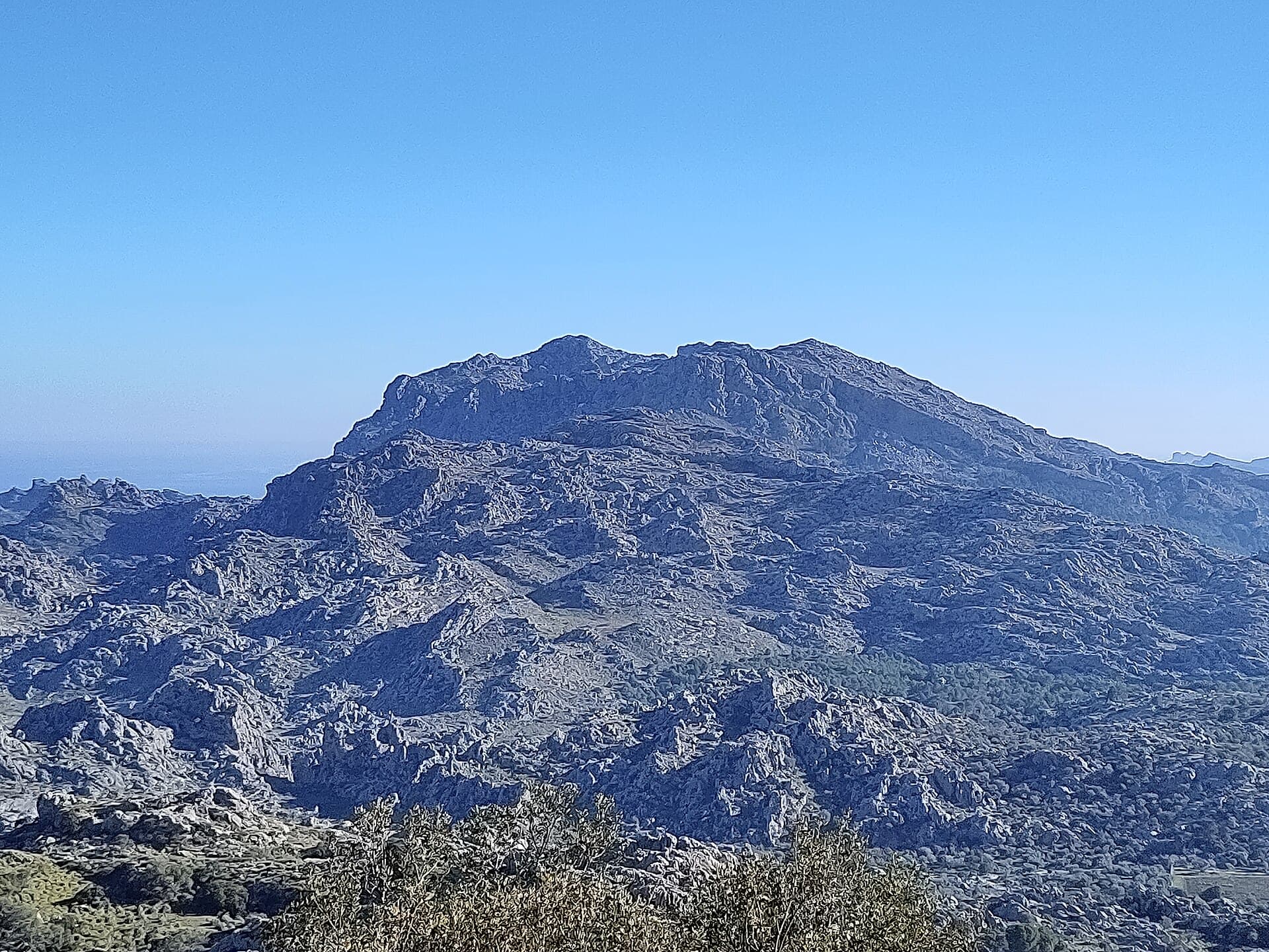
Explore dramatic coastal views and rugged limestone terrain on this northern Mallorca peak near Pollença.
Puig Gros de Ternelles rises as a prominent limestone summit within Mallorca’s Serra de Tramuntana, offering hikers unobstructed panoramas across the Mediterranean and the sheltered bay of Pollença. Its position on the northern edge of the range delivers a distinctive mix of sea cliffs, terraced olive groves, and dramatic rock formations that change color with the shifting light. The mountain forms part of a protected landscape where traditional dry-stone walls and endemic flora create an authentic sense of place.
Trails to the summit follow old cart tracks and narrow footpaths that wind through pine woodland before opening onto exposed ridges. Hikers gain steady elevation through a series of switchbacks, passing occasional farmsteads and natural springs. The final approach crosses a rocky plateau where low scrub gives way to panoramic viewpoints. On clear days the island of Menorca is visible on the horizon, while the jagged profiles of Puig Tomir and Puig de Massanella dominate the inland skyline.
Spring brings carpets of wild rosemary, thyme, and the pink blooms of rock roses. Resident birdlife includes Bonelli’s eagles soaring overhead and the distinctive calls of firecrests in the pine canopy. In autumn, the air carries the scent of fallen pine needles and ripening figs from nearby terraces.
The most common approach begins from the outskirts of Pollença, following the road toward the Ternelles valley before turning onto a signed track. Public transport reaches Pollença easily, after which a short taxi ride or bicycle ride covers the final kilometers. Parking is limited at the trailhead, so arriving early or using a local shuttle from the town is advisable. The route lies within a working rural estate, so visitors should remain on marked paths and respect any temporary closures for agricultural work.
Optimal conditions occur from late March through May and again in September and October, when temperatures remain comfortable for sustained effort and daylight hours are long. Summer brings intense heat and the risk of dehydration on exposed sections, while winter can deliver sudden rain and slippery limestone. Early morning starts are recommended year-round to enjoy cooler air and softer light for photography.
After descending, many visitors continue to the historic center of Pollença for its weekly market and café terraces, or drive the short distance to Cala Sant Vicenç for a swim in clear coves. The coastal path between Cala Barques and Cala Molins provides a gentle contrast to the mountain terrain. Further afield, the monastery of Lluc and the scenic road over the Coll de Sóller offer additional Tramuntana perspectives without requiring another strenuous climb.
Keep reading
Explore the islands’ geology, endemic plants, and wildlife at this focused natural-history museum in Sóller.
Most hikers complete the round trip in four to six hours depending on fitness and the number of photo stops along the ridges.
The trail involves steady elevation gain and some rocky sections, so it suits walkers with moderate experience; novices should consider a guided walk.
Dogs are generally permitted if kept on a lead, but owners must clean up and avoid disturbing livestock on the estate.
Pack sun protection, a basic first-aid kit, a map or GPS app with offline maps, and snacks for the summit.
Yes, many people finish the descent by midday and continue to nearby coves such as Cala Sant Vicenu00e7 for a swim and lunch.
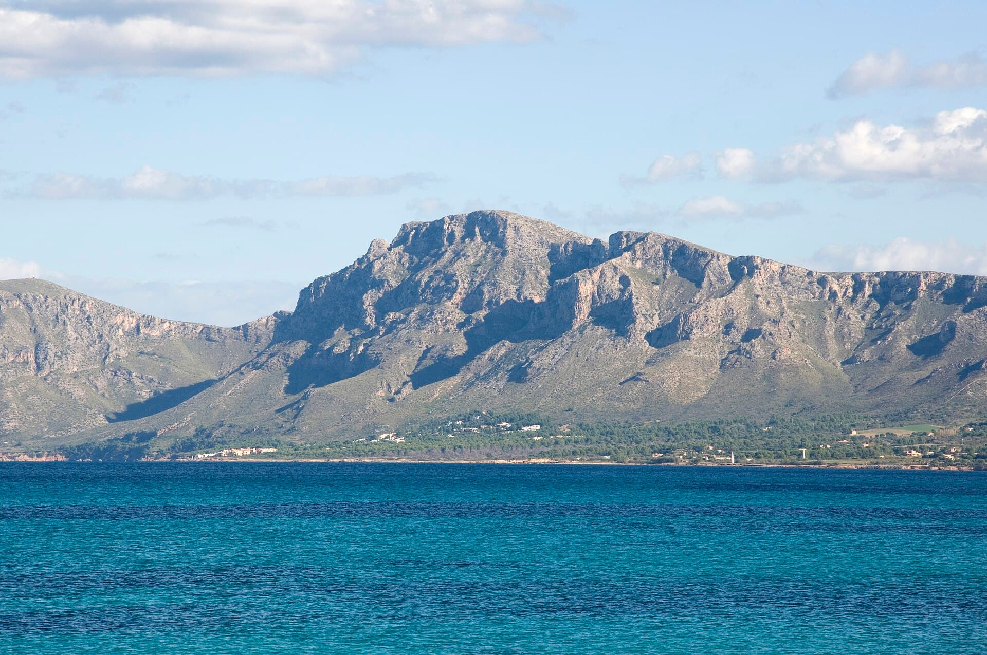
A straightforward ascent to sweeping views across northeastern Mallorca’s coastline and countryside.
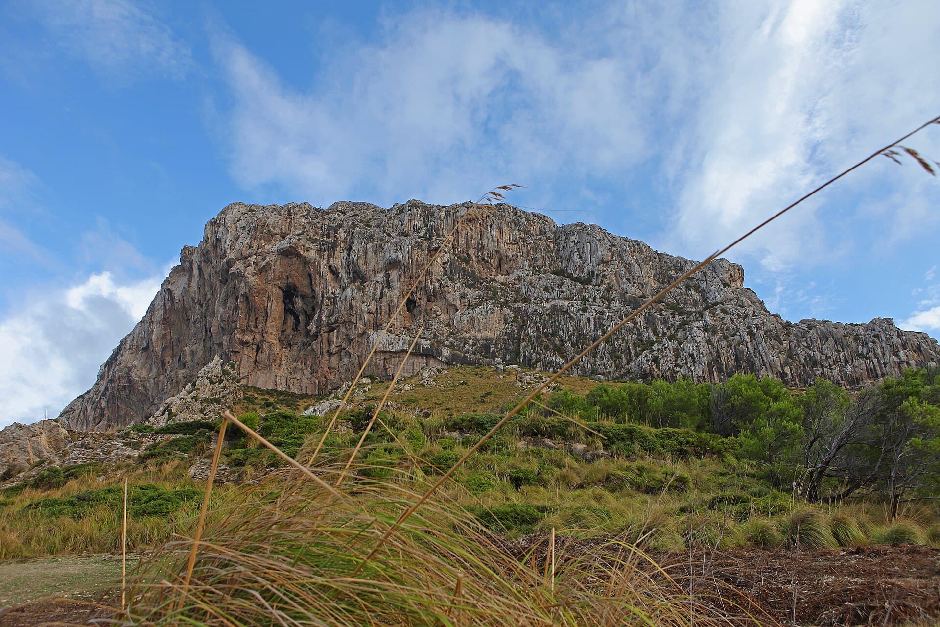
Scale the rugged summit of El Fumat for sweeping coastal views across Menorca’s wild north.