Skip to content
Plan & Tour
DestinationsItinerariesTravel BlogAboutContact
0Sign inPlan a trip
Plan & TourPlan & Tour

Travel guides, destination inspiration and curated itineraries for Canada, the USA and beyond, plus a free tool to plan your own day-by-day trip.

Get travel inspiration

Explore

  • All Destinations
  • Curated Itineraries
  • Travel Blog
  • Plan a Trip

Topics

  • Hiking & Nature
  • Food & Drink
  • City Breaks
  • Budget Travel

Company

  • About Us
  • Contact
  • Privacy Policy
  • Terms of Service

© 2026 Plan & Tour. Built for travellers.

Discover the world, one trip at a time.

Puig de na Franquesa: Hiking Mallorca’s Quiet Tramuntana Summit
  1. Home
  2. Destinations
  3. Balearic Islands
  4. Puig de na Franquesa: Hiking Mallorca’s Quiet Tramuntana Summit
Mountain

Puig de na Franquesa: Hiking Mallorca’s Quiet Tramuntana Summit

A rewarding moderate hike through olive groves and pine forests to sweeping views over the Serra de Tramuntana and the Mediterranean.

Balearic IslandsUpdated 21 September 2026

Why Puig de na Franquesa Belongs on Your Mallorca Itinerary

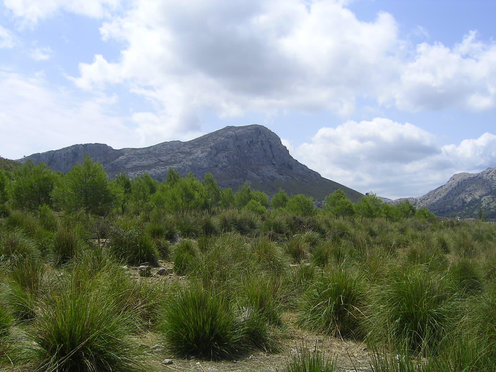
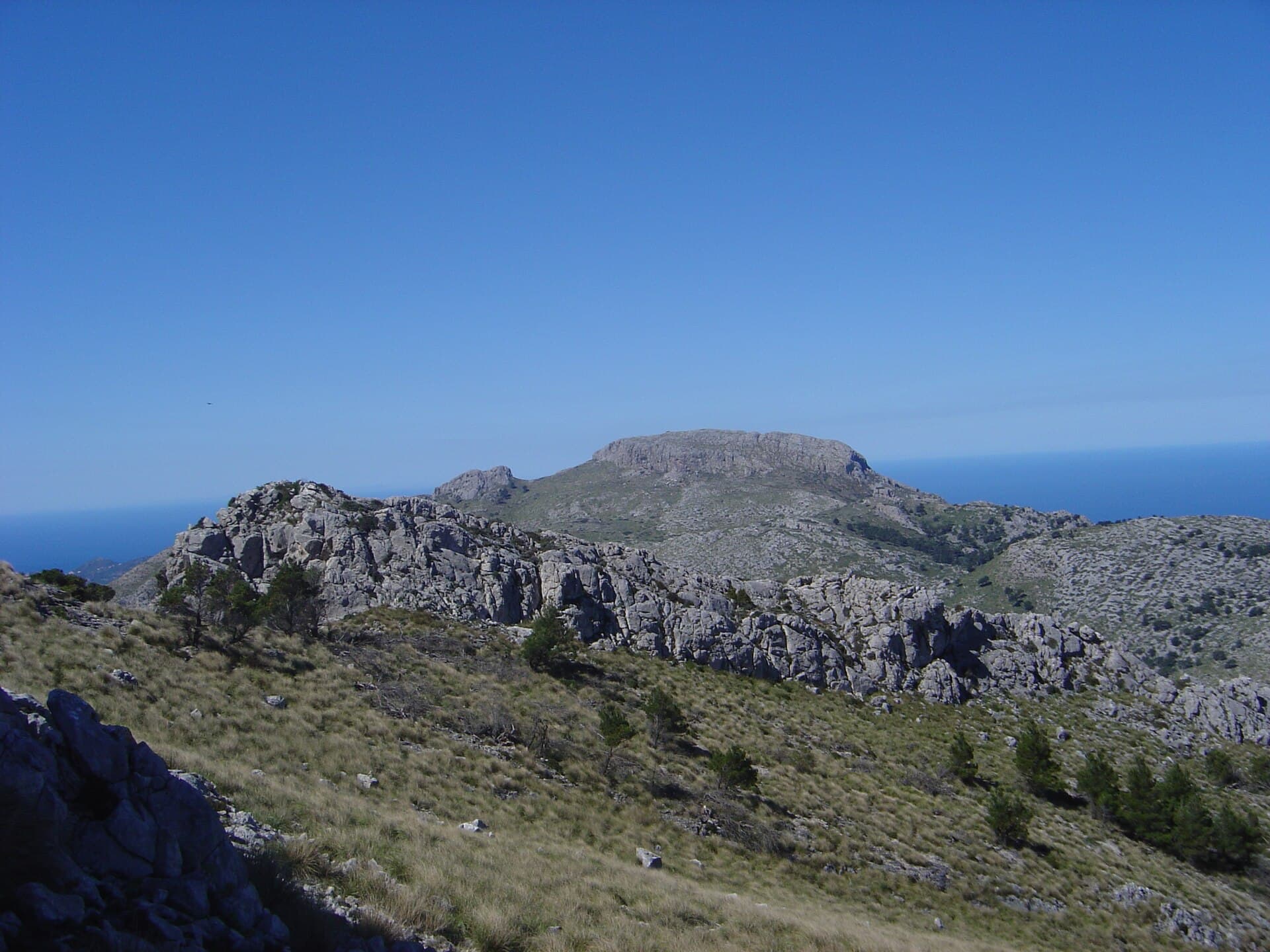
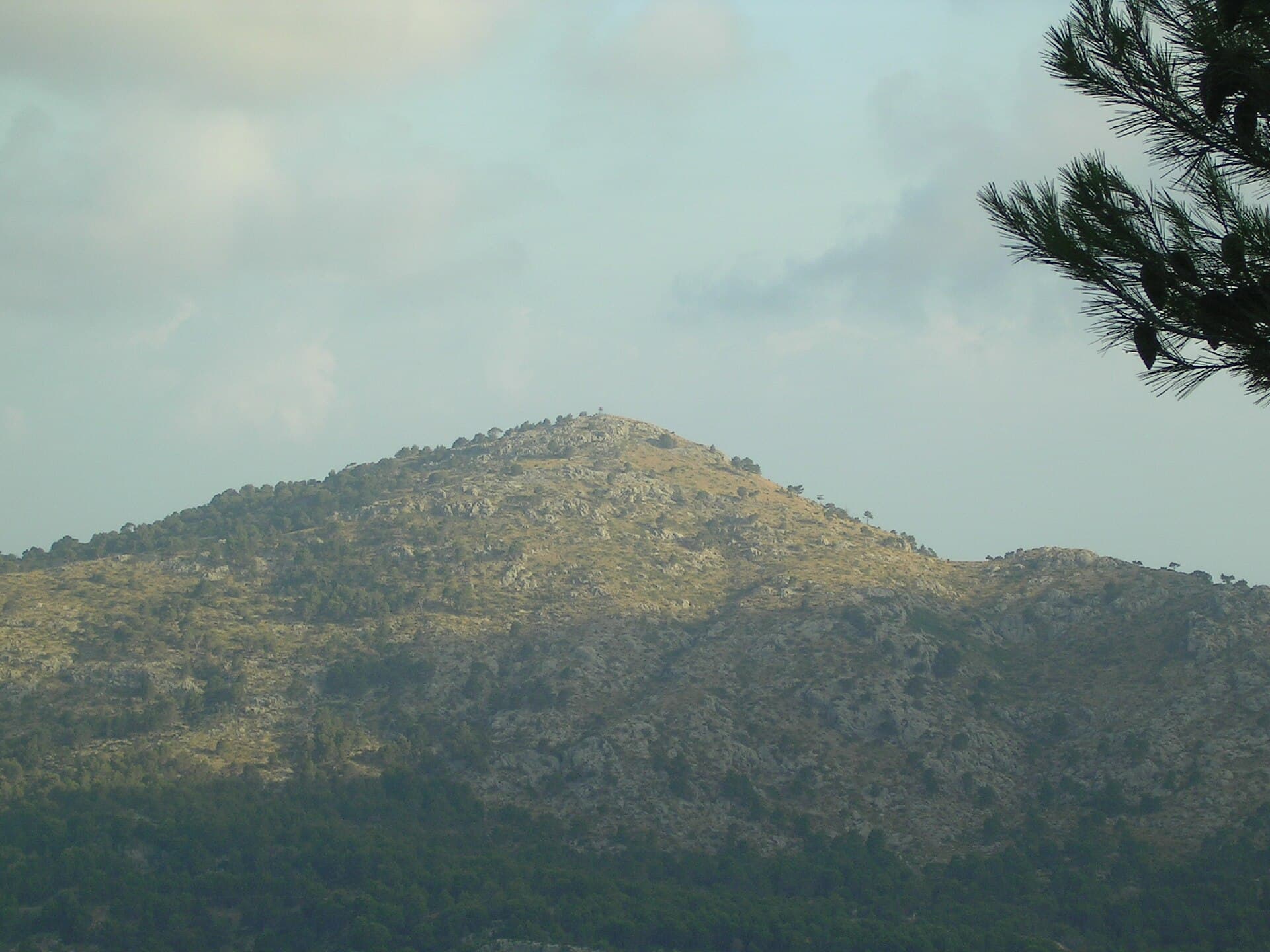
Unlike the crowded coastal resorts, Puig de na Franquesa offers a genuine slice of the Tramuntana mountains. At 774 metres this rounded peak rises above the villages of Fornalutx and Sóller, rewarding hikers with uninterrupted panoramas of terraced valleys, the sea, and distant peaks such as Puig Major. The route passes through centuries-old olive and carob terraces that illustrate the island’s agricultural heritage, now protected as a UNESCO World Heritage cultural landscape.

How to Reach the Trailhead

Drive from Sóller via the Ma-10 road toward Fornalutx; a signed parking area lies just beyond the hamlet of Biniaraix. Public transport is possible by taking the Sóller bus to Biniaraix and walking the first kilometre along the GR-221 dry-stone path. From the trailhead the ascent follows a well-marked section of the Dry Stone Route, gaining 450 metres over four kilometres. Allow three to four hours round-trip for the moderate hike.

Best Time to Visit and What to Expect

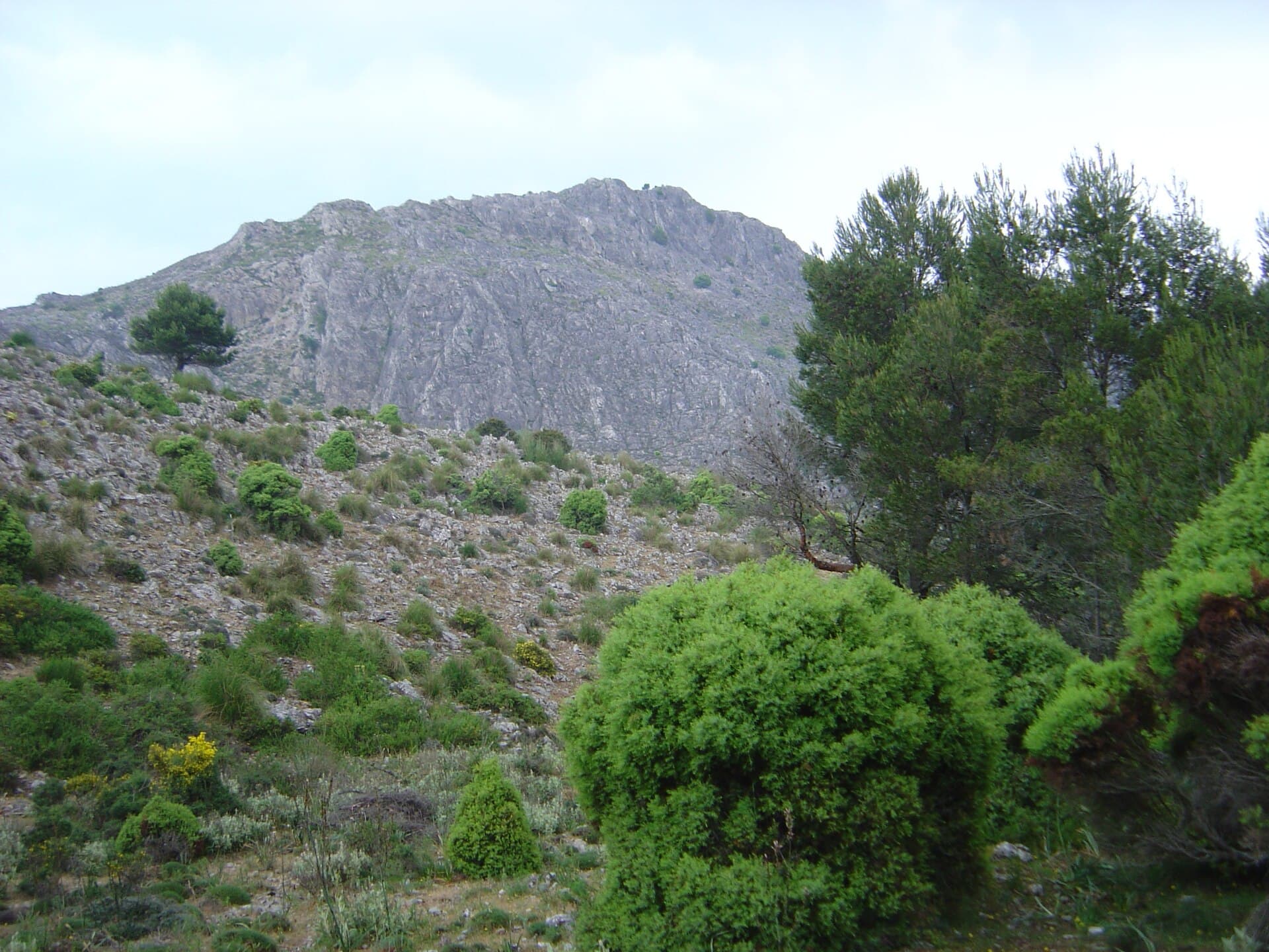
Spring (March–May) and autumn (September–November) bring mild temperatures and blooming wildflowers or golden light on the terraces. Summer hiking is possible but starts early to avoid midday heat; winter days can be clear yet windy. The path is stony but never technical; sturdy shoes and at least two litres of water per person are essential.

Flora, Fauna and Views

Along the way you pass Aleppo pines, strawberry trees and endemic Balearic cyclamen. Look for Bonelli’s eagles circling the cliffs and black vultures higher up. At the summit a simple stone cairn marks the high point; on clear days the entire north-west coast from Cap Formentor to the Dragonera island is visible.

Nearby Attractions Worth Combining

After descending, continue to the terraced gardens of Fornalutx or the orange groves of the Sóller valley. The coastal path from Port de Sóller to Deià offers an easy contrast to the mountain terrain, while the historic Sóller tram provides a relaxed return journey through the countryside.

Visitor tips

  • Park early at Biniaraix; the small lot fills quickly on weekends.
  • Carry a paper map or downloaded GPX tracku2014mobile coverage is patchy on the northern slopes.
  • Respect private terraces: stay on the marked GR-221 path at all times.

Frequently asked questions

How difficult is the hike to Puig de na Franquesa?+

It is rated moderate: steady uphill on a clear path with no scrambling required, suitable for fit walkers with basic mountain experience.

Can I reach Puig de na Franquesa without a car?+

Yes. Take the bus to Biniaraix then follow the GR-221; allow an extra hour each way on foot from the bus stop.

Is the summit marked or does it have facilities?+

Only a cairn indicates the top; there are no shelters, toilets or water sources, so plan accordingly.

Are dogs allowed on the trail?+

Dogs are permitted if kept on a lead and must not disturb grazing livestock on the terraces.

What should I do if the weather turns?+

The route has few escape options; descend immediately at the first sign of storm clouds or strong wind.

Share
Google Maps Apple Maps Directions

Image: Antoni Sureda · CC BY-SA 3.0 · via Wikimedia Commons

Keep reading

Nearby & related

All stories
Puig de sa Rateta: Hiking Mallorca’s Quiet Tramuntana Summit
Balearic Islands

Puig de sa Rateta: Hiking Mallorca’s Quiet Tramuntana Summit

A rewarding, lesser-known peak in the Serra de Tramuntana offering sweeping views without the crowds.

21 September 2026
Mola de s’Esclop: Summit Hike in Mallorca’s Serra de Tramuntana
Balearic Islands

Mola de s’Esclop: Summit Hike in Mallorca’s Serra de Tramuntana

A steady climb through pine forest and rocky terrain leads to sweeping island views from this distinctive Tramuntana…

21 September 2026
Puig de la Bassa: Hiking the Quiet Summit in Mallorca’s Tramuntana
Balearic Islands

Puig de la Bassa: Hiking the Quiet Summit in Mallorca’s Tramuntana

A rewarding hike to sweeping Mediterranean views on this lesser-known peak in the Balearic Islands.

21 September 2026