Discovering Pilancones Natural Park
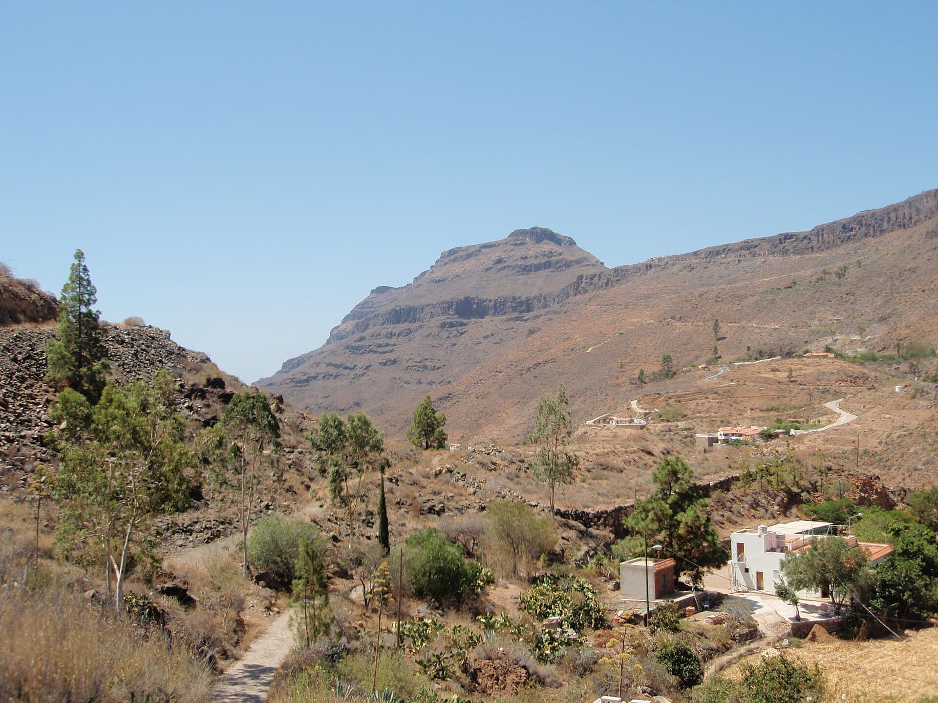
Spanning the central-southern highlands of Gran Canaria, Pilancones Natural Park protects one of the island’s largest remaining stands of native Canary pine. The landscape mixes steep barrancos, lava flows, and high plateaus that offer hikers sweeping views toward the coast and the central mountains. Unlike busier northern reserves, this area remains relatively quiet, rewarding visitors with solitude and a strong sense of Gran Canaria’s volcanic geology.
Trails and Highlights
The park’s network of marked paths suits a range of abilities. The PR-GC 60 route links the hamlet of Fataga with the Degollada de las Yeguas pass, climbing through pine woodland before opening onto panoramic ridges. Shorter loops around the Llano de la Caldereta provide easier access to open meadows dotted with rock roses and endemic flora. Look for the distinctive Pinus canariensis trees whose thick bark resists fire and whose deep roots tap into underground moisture. Birdwatchers often spot blue chaffinches, great spotted woodpeckers, and raptors soaring above the ravines.
Geology and Scenery
Exposed volcanic plugs and eroded calderas reveal the island’s fiery origins. Early morning light accentuates the contrast between dark basalt and the silvery needles of the pines. After winter rains, seasonal streams briefly flow through the barrancos, creating temporary waterfalls that hikers can reach via informal paths.
Getting There and Getting Around
Most visitors arrive by car from Maspalomas or Playa del Inglés, taking the GC-60 road that cuts through the park. Several trailheads lie directly beside this route, including signed parking areas near Fataga and the Degollada de las Yeguas viewpoint. Public buses from the south coast reach Fataga village, from where walkers can join the long-distance path. Within the park, roads are narrow and winding; allow extra time and carry water even on short walks.
Best Time to Visit
Spring (March–May) and autumn (September–November) bring mild temperatures and fewer crowds. Summer can be hot on exposed ridges, while winter nights drop close to freezing at higher elevations. The park remains open year-round, yet strong winds sometimes affect the ridges; checking the forecast before setting out is advisable.
Nearby Attractions
Combine a park visit with the terraced village of Fataga, known for its almond groves and small bodegas. Further south, the coastal dunes of Maspalomas and the fishing harbor of Puerto de Mogán offer contrasting experiences. To the north, the Roque Bentayga archaeological site and the central Tejeda valley provide additional cultural and scenic stops within a short drive.