Skip to content
Plan & Tour
DestinationsItinerariesTravel BlogAboutContact
0Sign inPlan a trip
Plan & TourPlan & Tour

Travel guides, destination inspiration and curated itineraries for Canada, the USA and beyond, plus a free tool to plan your own day-by-day trip.

Get travel inspiration

Explore

  • All Destinations
  • Curated Itineraries
  • Travel Blog
  • Plan a Trip

Topics

  • Hiking & Nature
  • Food & Drink
  • City Breaks
  • Budget Travel

Company

  • About Us
  • Contact
  • Privacy Policy
  • Terms of Service

© 2026 Plan & Tour. Built for travellers.

Discover the world, one trip at a time.

Pico Partido: Hiking Lanzarote’s Dramatic Volcanic Summit in Tinajo
  1. Home
  2. Destinations
  3. Tinajo
  4. Pico Partido: Hiking Lanzarote’s Dramatic Volcanic Summit in Tinajo
Mountain

Pico Partido: Hiking Lanzarote’s Dramatic Volcanic Summit in Tinajo

Discover the stark beauty of Pico Partido, a volcanic peak offering hikers sweeping views across Lanzarote’s lava fields and the Montañas del Fuego.

TinajoUpdated 12 November 2026

Why Pico Partido Stands Out

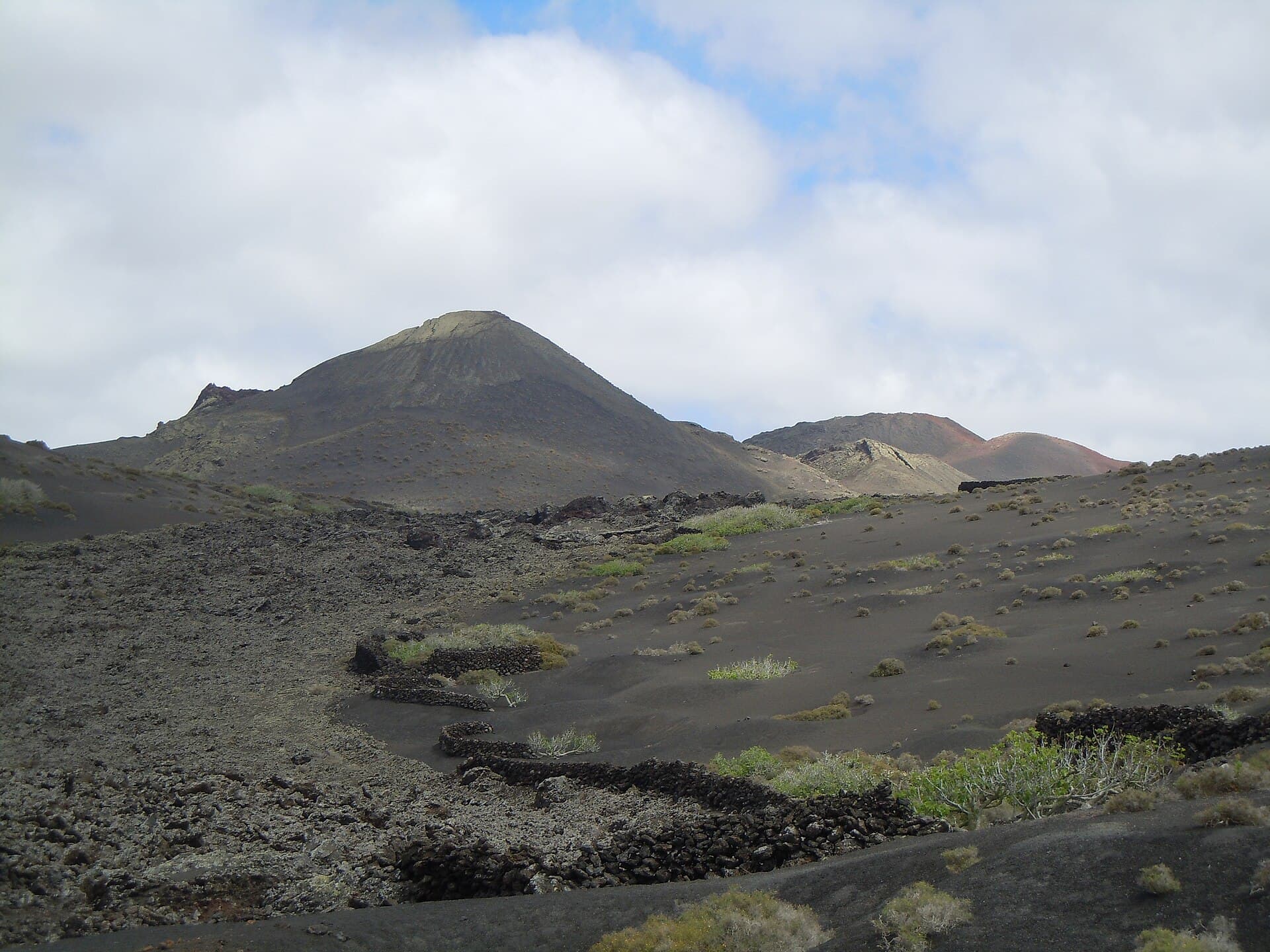
Pico Partido rises from the arid volcanic terrain of Tinajo municipality on Lanzarote, its split crater and dark lava slopes creating one of the island’s most striking silhouettes. The mountain sits within the broader volcanic zone that includes Timanfaya National Park, yet it remains outside the park’s paid core, offering free, uncrowded access to classic Canary Island geology.

How to Reach the Trailhead

Drive west from Arrecife along the LZ-30 road, then turn north on the LZ-20 toward Tinajo. Continue past the village on the LZ-403, following signs for the area known as Montaña Colorada. A rough dirt track leads to a small parking area at the base; a high-clearance vehicle helps, though the final approach can be completed on foot. Public buses reach Tinajo village, from which the mountain is a 45-minute walk along quiet rural lanes.

Best Time to Visit

November through April brings mild temperatures ideal for hiking. Summer months deliver intense sun and strong trade winds that can make exposed ridges uncomfortable. Early morning starts avoid both heat and the occasional afternoon dust haze that drifts from the nearby national park.

Routes and Highlights

The most popular path climbs the southern flank via a loose but well-defined volcanic gravel trail. After 40 minutes of steady ascent, hikers reach the rim of the main crater, where the “partido” split becomes visible. Continue along the crater edge for 360-degree views that stretch from the Atlantic to the Timanfaya cone field and the distant Famara cliffs. Shorter loops circle the lower lava flows, revealing ropey pahoehoe textures and small hornitos. Carry plenty of water; no shade or facilities exist on the mountain.

Nearby Attractions Worth Combining

Combine a morning hike with a visit to the Mancha Blanca visitor center for volcano exhibits, or drive ten minutes north to the beaches at Caleta de Famara for a post-hike swim. The wine-growing village of La Geria lies to the south, its vineyards planted in volcanic ash pits.

Visitor tips

  • Wear sturdy shoes with good grip; the volcanic gravel is loose on steep sections.
  • Start before 9 a.m. to avoid midday heat and wind gusts on the crater rim.
  • Park only in designated pull-offs to protect fragile lava surfaces and avoid fines.

Frequently asked questions

Is Pico Partido inside Timanfaya National Park?+

No. The mountain lies just outside the park boundaries in Tinajo municipality and can be visited without paying park entrance fees.

How long does the hike to the summit take?+

Allow two to three hours round-trip for the main crater rim route, depending on fitness and how far you explore along the edge.

Are there any facilities at Pico Partido?+

There are no toilets, water points, or shade structures. Bring all supplies and pack out any waste.

Can children or inexperienced hikers manage the trail?+

The route is steep and loose underfoot. It suits older children and fit adults comfortable with uneven volcanic terrain; less experienced walkers may prefer the lower lava-loop options.

What should I wear and bring?+

Wear sturdy hiking shoes, a hat, sunscreen, and windproof layers. Carry at least two liters of water per person and a basic first-aid kit.

Share
Google Maps Apple Maps Directions

Image: Patrice78500 · CC BY-SA 4.0 · via Wikimedia Commons

Keep reading

Nearby & related

All stories
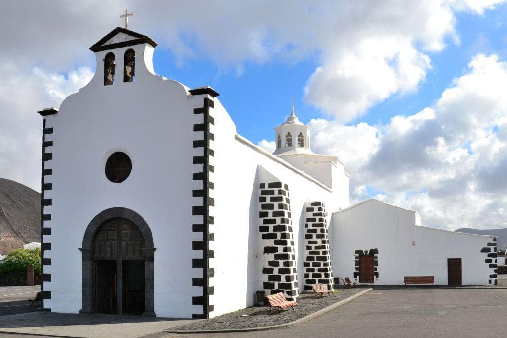
Hermitage of Los Dolores: Lanzarote’s Quiet Pilgrimage Chapel in Tinajo
Tinajo

Hermitage of Los Dolores: Lanzarote’s Quiet Pilgrimage Chapel in Tinajo

A modest 18th-century shrine set among lava fields that draws locals and travelers seeking the island’s patron saint and…

12 November 2026
Montaña del Cuervo: Hiking Lanzarote’s Striking Volcanic Cone
Tinajo

Montaña del Cuervo: Hiking Lanzarote’s Striking Volcanic Cone

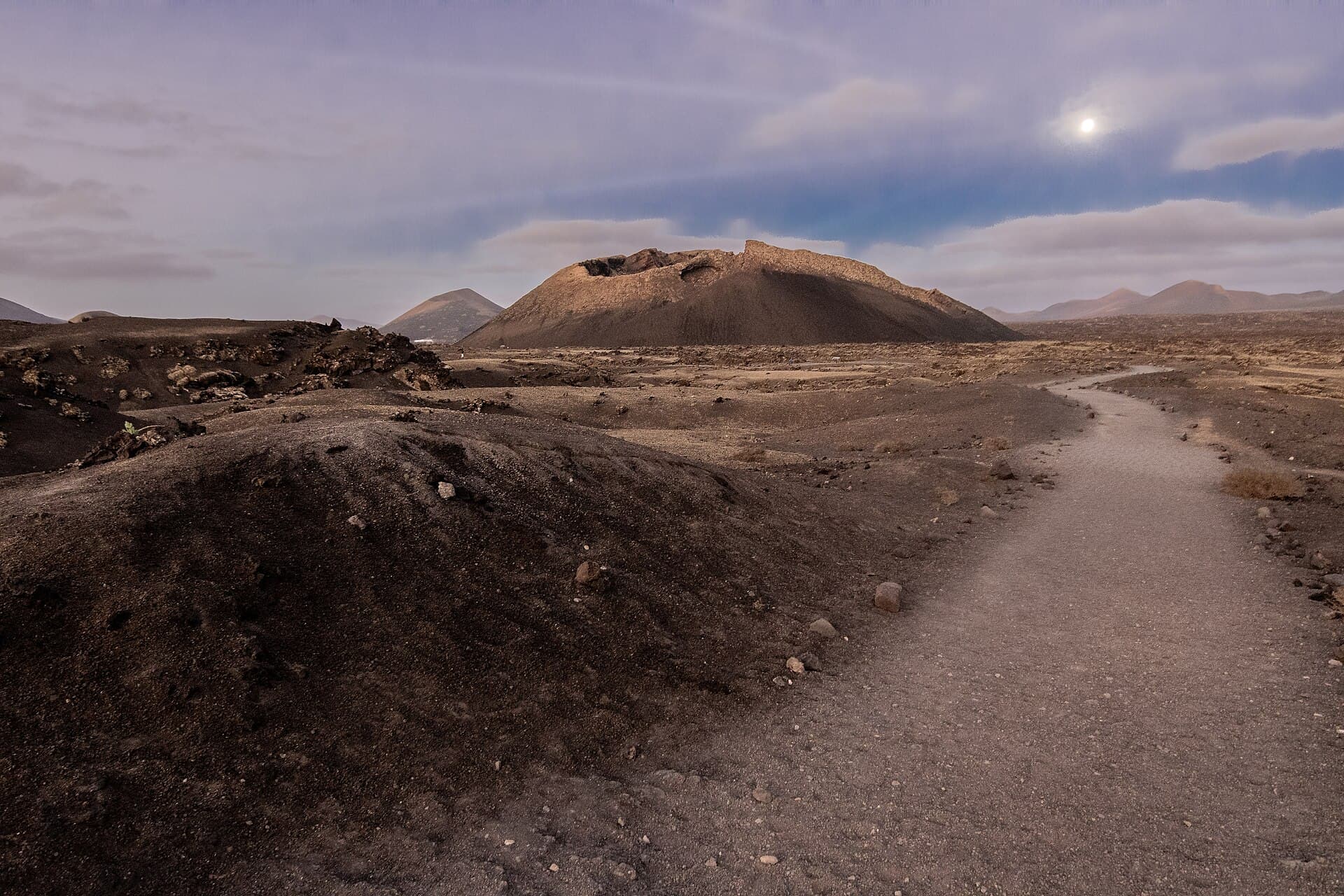
Explore the dramatic crater and sweeping lava-field views at this accessible peak near Tinajo in Lanzarote.

12 November 2026