Why Pico de Malpaso Stands Out
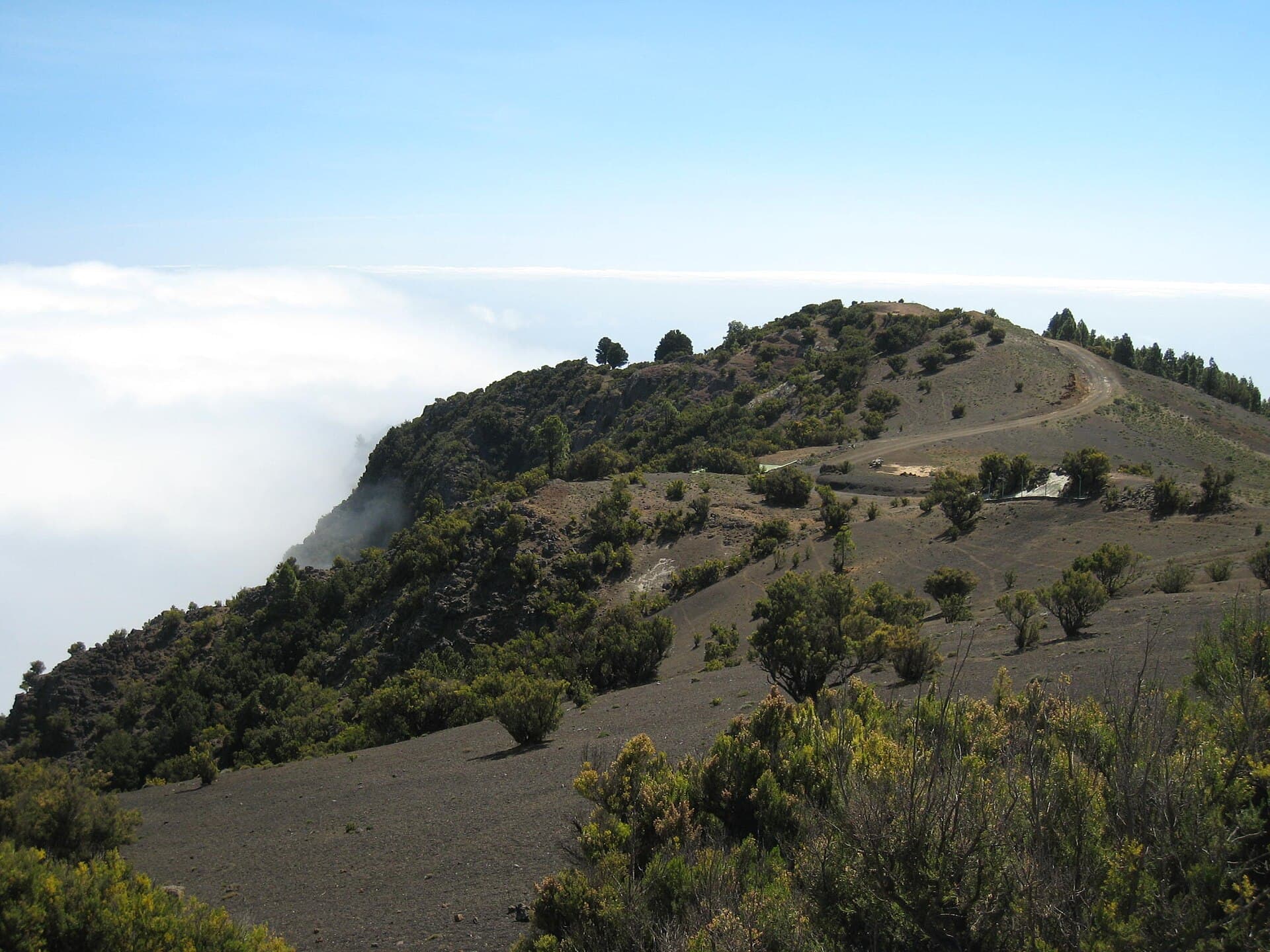
At 1,501 meters, Pico de Malpaso is the highest point on El Hierro, the smallest and least-visited of the Canary Islands. Its broad summit offers 360-degree panoramas that stretch from the rugged north coast to the green slopes of El Golfo and the distant island of La Palma on clear days. The mountain’s volcanic origins are visible in the dark basalt and scattered cinder cones that surround the trail, giving hikers an immediate sense of the island’s dramatic geology.
Trails and What to Expect on the Ascent
The most popular route begins near the hamlet of San Andrés and follows a well-marked path through Canary pine and fayal-brezal heath before emerging onto open ridges. The climb gains roughly 600 meters over 4–5 kilometers one way, with steady grades that most fit walkers can manage in three to four hours round-trip. Along the way you pass old stone corrals and occasional stands of the endemic El Hierro giant lizard habitat. At the summit a simple trig point and wind shelter mark the top; linger to watch the clouds form below you or spot raptors riding thermals.
Best Time to Visit
El Hierro enjoys mild temperatures year-round, yet spring (March–May) and autumn (September–November) bring the clearest skies and most comfortable hiking conditions. Summer can be warm at lower elevations, while winter occasionally brings rain and low cloud that obscures the views. Early morning starts are recommended to avoid afternoon sea breezes that strengthen on the exposed ridges.
How to Reach the Mountain
Most visitors arrive on El Hierro by ferry from Tenerife or by air to the small airport near Valverde. From Valverde a winding road leads south through San Andrés; limited roadside parking is available at the trailhead. No public transport serves the upper slopes, so hikers either drive rental cars or join guided walks arranged through local operators in the island’s capital. The final approach is on foot; the terrain is rocky but non-technical.
Nearby Attractions Worth Combining
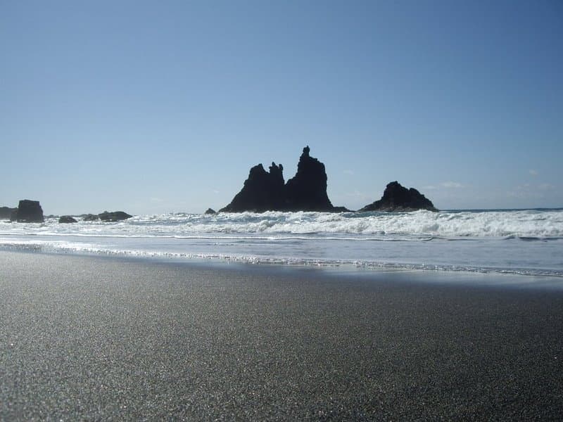
After descending, continue to the Mirador de la Peña for sweeping views of the El Golfo valley and its dramatic cliff face. The nearby village of La Frontera offers small restaurants serving fresh local cheese and wrinkled potatoes. A short drive west brings you to the lava fields of the 2011 submarine eruption site at La Restinga, while the island’s famous dragon-tree stands and black-sand coves lie along the southern coast.
- Combine the hike with a visit to the island’s UNESCO Geopark visitor center in Valverde to understand the volcanic history visible from the summit.
- Pack layers; temperatures drop quickly once you leave the sheltered valleys.
- Carry sufficient water—there are no refill points above the trailhead.