Skip to content
Plan & Tour
DestinationsItinerariesTravel BlogAboutContact
0Sign inPlan a trip
Plan & TourPlan & Tour

Travel guides, destination inspiration and curated itineraries for Canada, the USA and beyond, plus a free tool to plan your own day-by-day trip.

Get travel inspiration

Explore

  • All Destinations
  • Curated Itineraries
  • Travel Blog
  • Plan a Trip

Topics

  • Hiking & Nature
  • Food & Drink
  • City Breaks
  • Budget Travel

Company

  • About Us
  • Contact
  • Privacy Policy
  • Terms of Service

© 2026 Plan & Tour. Built for travellers.

Discover the world, one trip at a time.

Mount Takigashira: Quiet Hiking Trails and Coastal Views in Tahara
  1. Home
  2. Destinations
  3. Tahara
  4. Mount Takigashira: Quiet Hiking Trails and Coastal Views in Tahara
Mountain

Mount Takigashira: Quiet Hiking Trails and Coastal Views in Tahara

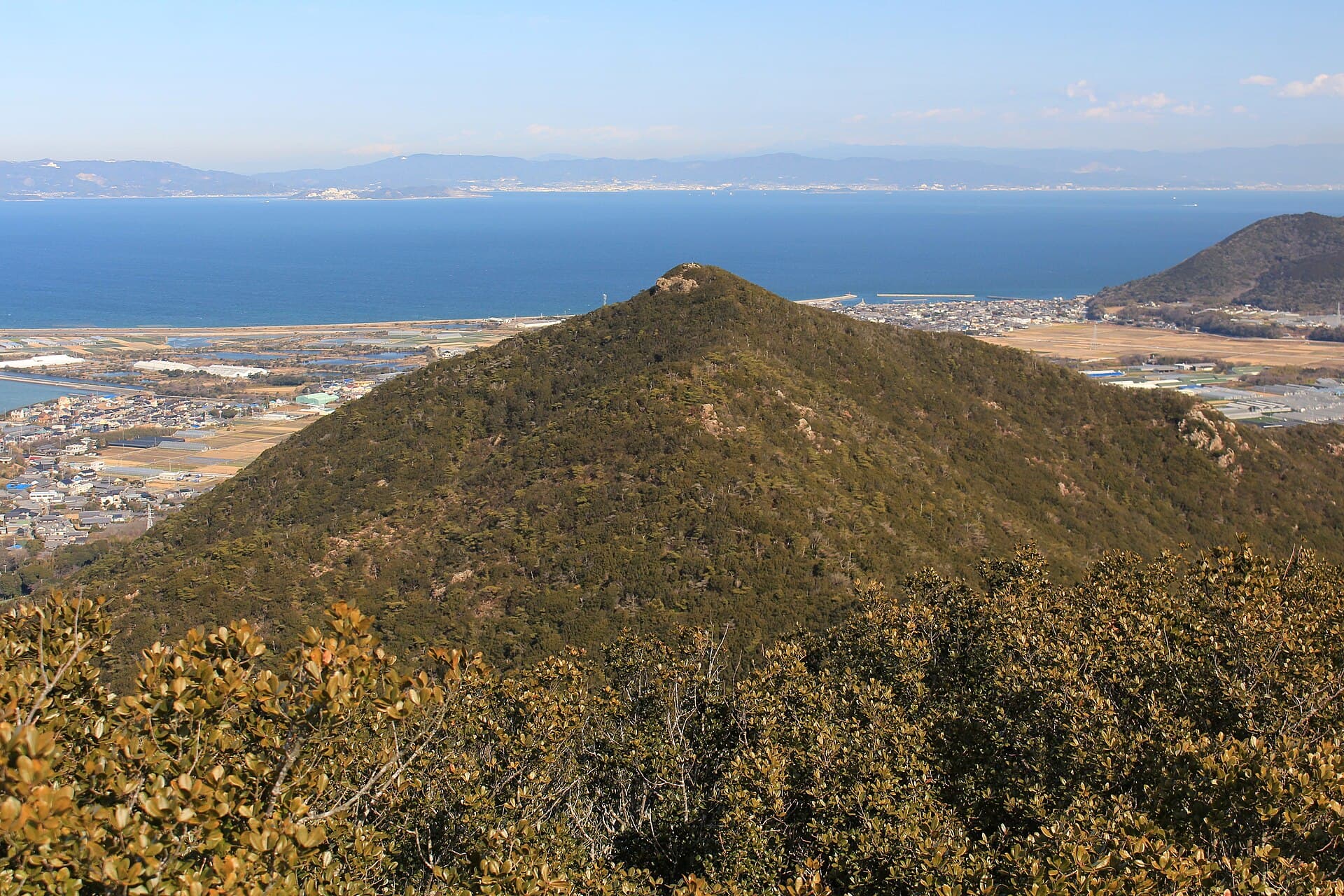
This modest peak on the Atsumi Peninsula offers peaceful forest paths and sweeping views across Mikawa Bay.

TaharaUpdated 14 August 2026

Why Visit Mount Takigashira

Mount Takigashira rises gently above the rural landscape of Tahara in Aichi Prefecture, providing an accessible escape into nature without the crowds found at more famous Japanese peaks. Its trails wind through mixed woodland and offer occasional glimpses of the sea, making it ideal for hikers seeking quiet reflection rather than strenuous adventure.

Trails and What to See

The main route begins near the base and climbs steadily through cedar and oak forest. Along the way, visitors encounter small clearings with benches and interpretive signs about local plants. Near the summit, a modest observation point reveals the curve of the Atsumi Peninsula and distant views toward the Pacific. In spring, early-blooming wildflowers line the path; in autumn, the foliage turns vivid red and gold. The mountain is also known for its resident birdlife, including Japanese bush warblers and occasional raptors soaring overhead.

Getting There

Most travelers reach Tahara by train from Toyohashi Station, then continue by local bus or taxi to the trailhead parking area. Drivers can follow Route 259 along the peninsula and turn inland at the signed junction for the mountain. The approach is straightforward and well-marked, though signage is primarily in Japanese.

Best Time to Visit

Early spring and late autumn deliver the clearest weather and comfortable temperatures for hiking. Summer brings humidity and the risk of sudden showers, while winter offers crisp air but occasional icy patches on shaded sections of trail. Weekdays are noticeably quieter than weekends, when local families sometimes picnic at the lower trailhead.

Nearby Attractions

After descending, many visitors continue to Cape Irago for dramatic lighthouse views and fresh seafood. The peninsula’s coastal roads also lead to small fishing harbors and seasonal flower fields. Tahara’s agricultural heritage is visible in the surrounding strawberry and melon farms, some of which welcome day visitors for picking experiences.

Visitor tips

  • Carry plenty of water and light snacks, as there are no facilities on the upper trails.
  • Wear sturdy shoes with good grip; sections of the path can become slippery after rain.
  • Download an offline map before arriving, since mobile signal fades quickly once you enter the forest.

Frequently asked questions

How long does the hike to the summit take?+

Most hikers complete the round-trip in two to three hours at a moderate pace, depending on fitness level and stops for photos.

Is Mount Takigashira suitable for beginners?+

Yes, the elevation gain is modest and the trail is well-defined, though beginners should allow extra time and hike with a companion.

Are there any facilities or restrooms on the mountain?+

Only a basic toilet block exists near the lower trailhead; plan accordingly and bring any needed supplies from Tahara town.

Can I combine a visit with other Tahara attractions in one day?+

Absolutely. Many travelers hike in the morning then drive to Cape Irago or nearby beaches in the afternoon.

What should I do if the weather changes suddenly?+

Turn back immediately if fog or heavy rain appears; the upper sections offer little shelter and visibility can drop quickly.

Share
Google Maps Apple Maps Directions

Image: JH2KCY · CC BY-SA 3.0 · via Wikimedia Commons

Keep reading

Nearby & related

All stories
Oyama: Hiking Tahara’s Quiet Coastal Mountain
Tahara

Oyama: Hiking Tahara’s Quiet Coastal Mountain

Summit this modest peak on the Atsumi Peninsula for sweeping views of Mikawa Bay and the Pacific.

14 August 2026