
Keep reading
Nearby & related
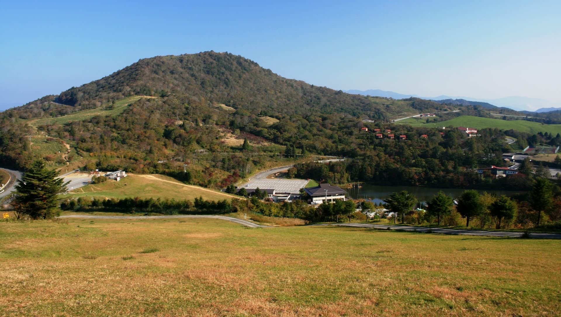
Chausuyama: Hiking Aichi’s Alpine Plateau in Toyone Village
Experience wildflower meadows, panoramic ridge views, and quiet highland trails on Chausuyama, Aichi Prefecture’s…
13 August 2026
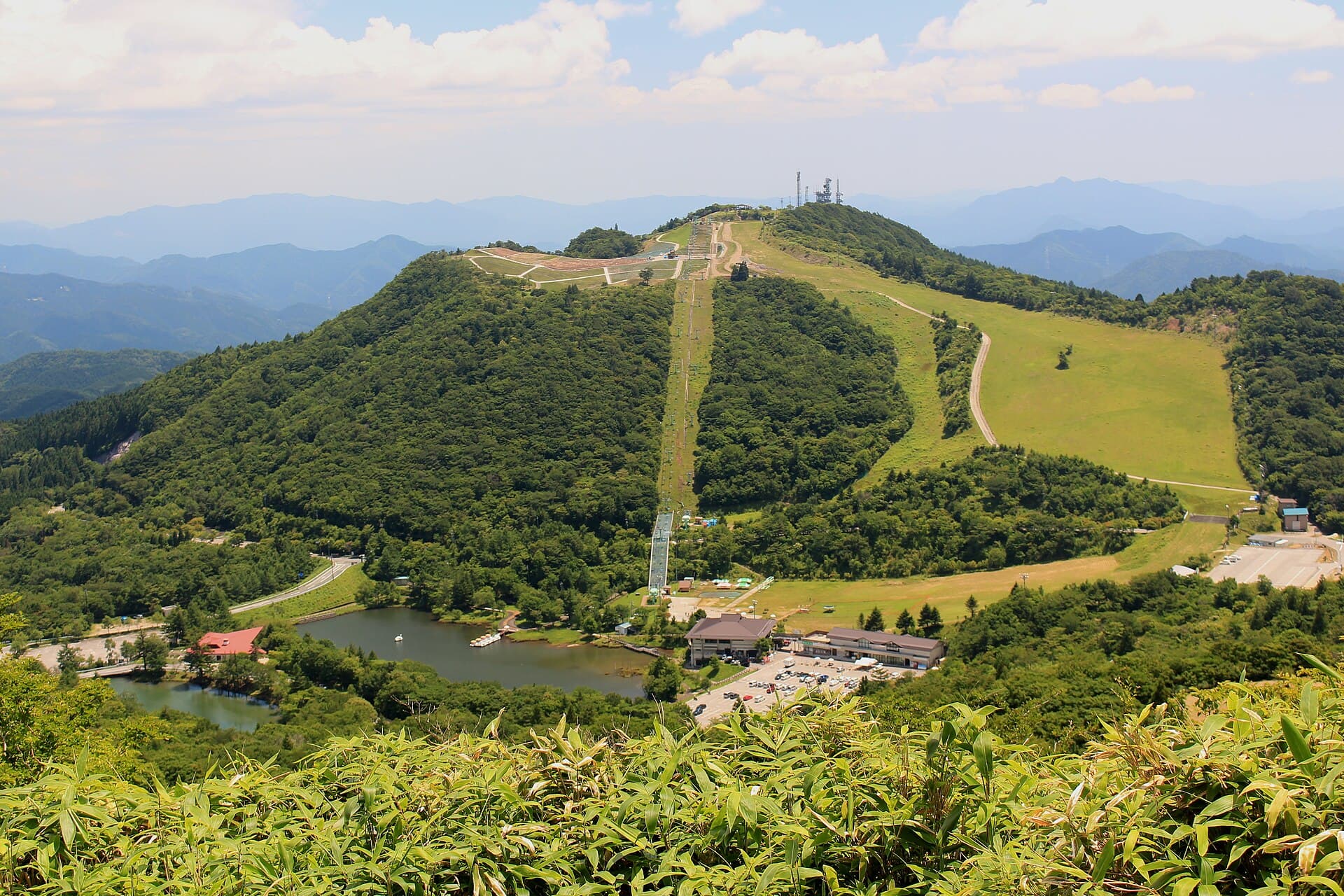
A rewarding climb through cedar forests and ridge views in rural Aichi Prefecture.
Mount Hagitaro rises above the forested hills of Toyone village, offering hikers a peaceful alternative to more crowded peaks in central Japan. The mountain sits within the Tenryu-Okumikawa region, where dense cedar and cypress stands give way to open ridges with sweeping views across Aichi’s northern mountains. Its trails remain relatively quiet year-round, making it ideal for those seeking solitude and a genuine sense of the Japanese countryside.
The main route begins at a trailhead along a narrow forest road and climbs steadily through mixed woodland before reaching the summit ridge. Hikers encounter a mix of gentle switchbacks and steeper sections, with occasional clearings that reveal distant peaks. The round-trip typically takes four to six hours depending on pace and fitness level. At the top, a modest viewpoint opens toward the surrounding valleys; on exceptionally clear days the distant Japanese Alps are visible. Wildflowers appear along the path in late spring, while autumn brings vibrant foliage that draws local photographers.
Most visitors reach Mount Hagitaro by car from central Aichi or neighboring Nagano Prefecture. From Toyone village center, local roads lead to the trailhead parking area. Public transport is limited; infrequent buses run from Shinshiro Station, after which a taxi or arranged pickup is usually required. The drive from Nagoya takes roughly two and a half hours via expressway and winding mountain roads.
Late October through early November offers the most striking scenery when autumn colors peak. Spring hiking from April to May brings fresh greenery and fewer insects. Summer is possible but humid, while winter visits require snow awareness and proper equipment. Avoid the rainy season in June and July when trails can become muddy and leeches more active.
After descending, spend time in Toyone village exploring its quiet streets and traditional houses. The nearby Tenryu River offers scenic drives or short riverside walks. Further afield, the Kurokawa area features small hot-spring facilities popular with locals. Combining the hike with a visit to one of these spots creates a relaxed overnight itinerary in northern Aichi.
The trail is moderate, suitable for fit beginners with some elevation gain but no technical sections. Allow extra time if carrying a heavy pack.
Only basic facilities exist at the trailhead; none are available on the trail itself. Plan accordingly.
No designated campsites exist on the mountain. Overnight stays require returning to village accommodations or designated campgrounds lower down.
Older children accustomed to hiking can manage the route, but the length and elevation make it better for teens than young kids.
Water, snacks, rain shell, map, headlamp, and sturdy shoes are the essentials. Insect repellent is useful in warmer months.
Keep reading
Experience wildflower meadows, panoramic ridge views, and quiet highland trails on Chausuyama, Aichi Prefecture’s…