
Keep reading
Nearby & related
Mount Hagitaro: Hiking the Quiet Peaks of Toyone
A rewarding climb through cedar forests and ridge views in rural Aichi Prefecture.
14 August 2026
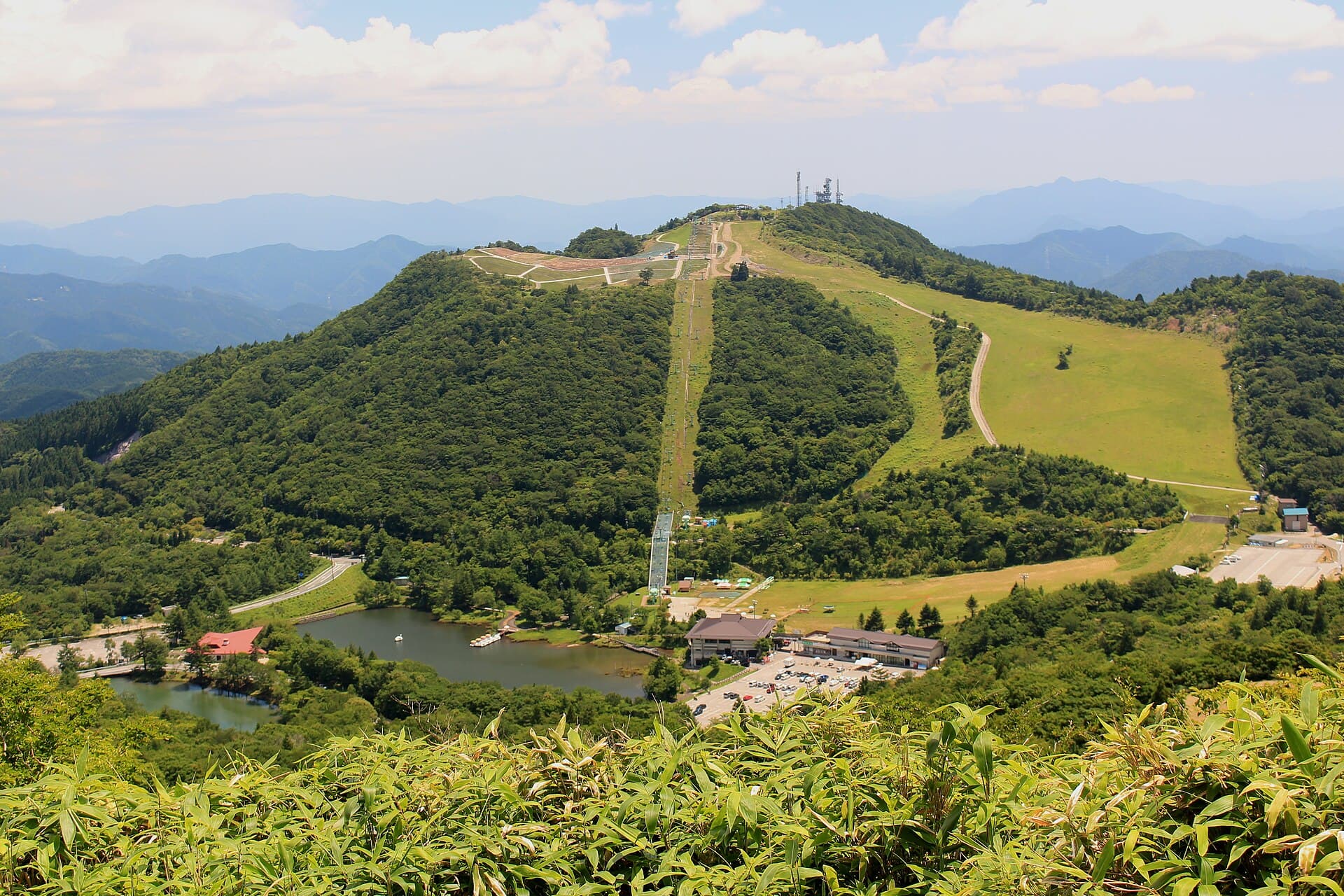
Experience wildflower meadows, panoramic ridge views, and quiet highland trails on Chausuyama, Aichi Prefecture’s standout mountain.
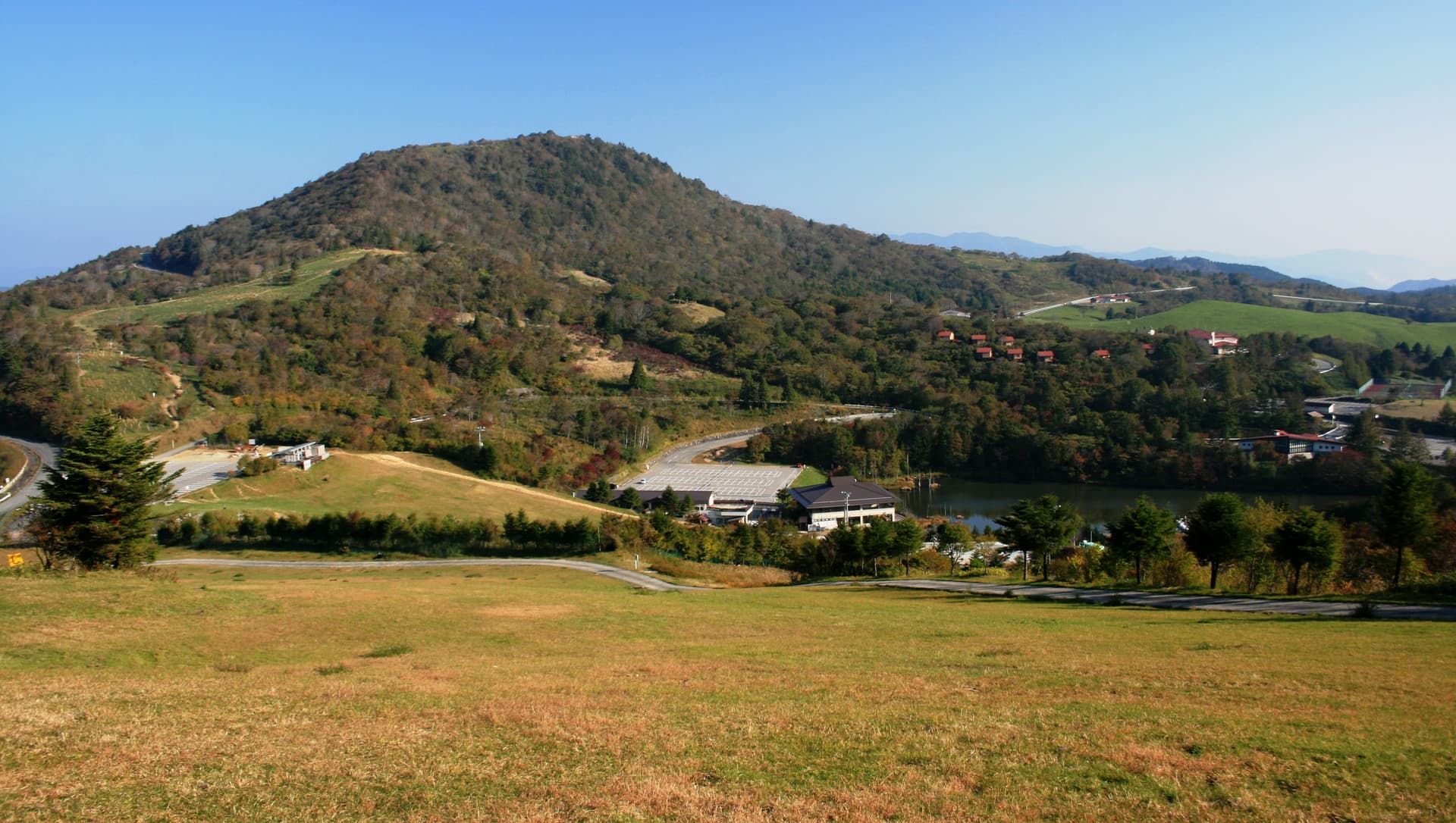
Chausuyama rises above Toyone Village as the highest peak entirely within Aichi Prefecture, forming a broad, gently sloping plateau rather than a sharp summit. Its open grasslands and seasonal blooms create a rare highland landscape easily reached from central Japan yet far from crowds.
The summit area features wide meadows dotted with Japanese azaleas in early summer and vibrant autumn foliage later in the year. Short loops from the parking area let visitors wander for an hour or two without technical effort, while longer ridge trails connect to neighboring peaks inside Tenryu-Okumikawa Quasi-National Park.
Clear days reveal the Southern Alps to the north and the Pacific coast far to the south. The open terrain makes sunrise and sunset especially rewarding; photographers often set up near the wooden observation deck at the highest point.
Most visitors arrive by car via Route 151 and the Chausuyama Skyline road, which climbs steadily from Toyone’s central valley. Limited bus service runs from Hon-Nagashino Station on the Iida Line during peak foliage and flower seasons. The final approach is a single-lane paved road with pullouts; arrive early on weekends to secure parking near the trailhead.
Late June through mid-July brings peak azalea color across the plateau. October offers brilliant autumn leaves and crisp air with fewer insects. Winter snow can close the upper road, so November and May serve as reliable shoulder months for clear hiking weather.
Combine a visit with the historic village of Shinshiro or the clear waters of the Tenryu River for rafting. The Kurokawa Gorge offers additional short walks just 30 minutes downhill, while Lake Sakuma provides boat access to another side of the same mountain range.
The main route from the upper parking area is a gentle 20- to 40-minute walk on wide paths suitable for most fitness levels and families.
Limited seasonal buses reach the lower parking area, but a private vehicle or taxi from Hon-Nagashino Station offers the most reliable access year-round.
A small shelter and restrooms are available near the observation deck, but no food or water is sold on the mountain.
Overnight camping is not permitted on the plateau to protect the fragile meadow ecosystem; day visits only are encouraged.
Look for Japanese serow, various butterflies in summer, and migratory birds along the ridges, especially in spring and autumn.
Keep reading
A rewarding climb through cedar forests and ridge views in rural Aichi Prefecture.