
Keep reading
Nearby & related
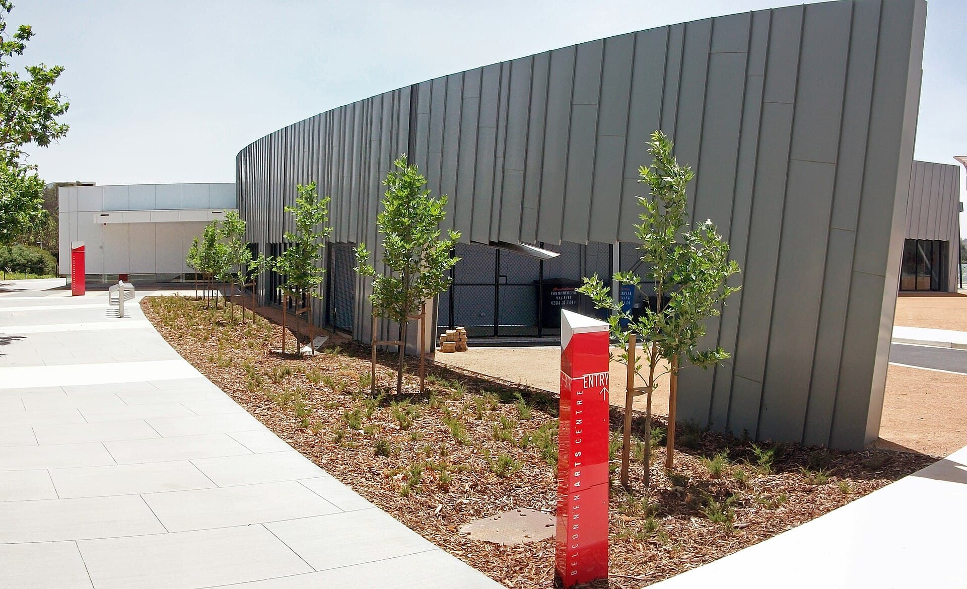
Belconnen Arts Centre: Contemporary Creativity in Canberra’s Belconnen District
Discover exhibitions, performances and community programs at this lively arts hub north of Canberra’s city centre.
18 September 2026
A practical guide to reaching and exploring Mount Gudgenby, the prominent summit in the Australian Capital Territory’s alpine wilderness.
Mount Gudgenby rises as a distinctive granite peak within Namadgi National Park, offering hikers sweeping views across the southern ranges of the ACT and into Kosciuszko National Park. Its position in the Gudgenby River catchment delivers a true sense of remote alpine terrain without requiring multi-day expeditions.
Access begins from Canberra’s southern suburbs. Drivers follow the Monaro Highway south before turning onto the Boboyan Road, which leads into the park. From the road, a network of management trails and footpaths climbs toward the summit; the final approach is on foot only. Four-wheel-drive vehicles are helpful on unsealed sections after rain, but standard cars can reach the main parking areas in dry conditions.
Late spring through early autumn provides the most reliable weather for day hikes. Snow can linger on higher slopes into October, while December to February brings heat and the risk of thunderstorms. April and May often deliver clear skies and fewer visitors. Always check park alerts for track closures caused by fire or weather.
The main route follows an old fire trail that gradually ascends through snow-gum woodland and open grasslands before reaching the rocky summit plateau. Expect a steady climb with occasional steeper sections near the top. On clear days the 360-degree panorama includes the Tinderry Ranges to the east and the Brindabella peaks to the west. Shorter walks along the lower valleys suit those seeking wildflower displays or birdwatching without the full summit effort.
Keep an eye out for eastern grey kangaroos grazing at dawn, wedge-tailed eagles riding thermals, and the occasional spotted-tail quoll at night. The granite tors and alpine bogs create varied habitats that change dramatically with the seasons.
Combine a Gudgenby visit with the historic Cotter Dam, the waterfalls at the base of Mount Tennent, or the Aboriginal rock-art sites near Yankee Hat. The nearby town of Tharwa offers fuel, basic supplies and a café for pre-hike meals. For longer stays, the Namadgi Visitor Centre at the park entrance provides maps and current track information.
Keep reading
Discover exhibitions, performances and community programs at this lively arts hub north of Canberra’s city centre.
Most fit walkers complete the round trip from the upper trailhead in six to eight hours, allowing time for breaks and photography at the top.
The full summit route is best suited to those with some hiking experience. Families often enjoy the shorter valley walks that start from the same access roads.
Day visitors do not require a permit, but overnight camping in the backcountry does. Check current park regulations before setting out.
Descend immediately if storms approach. The open ridges offer little shelter, and lightning risk is high. Have an alternative lower-elevation walk planned.
No facilities exist above the roadheads. Treat or carry all drinking water and follow leave-no-trace principles for waste.
Explore the accessible trails, wildflower meadows and sweeping views from Mount Rogers, a compact peak in Canberra’s…
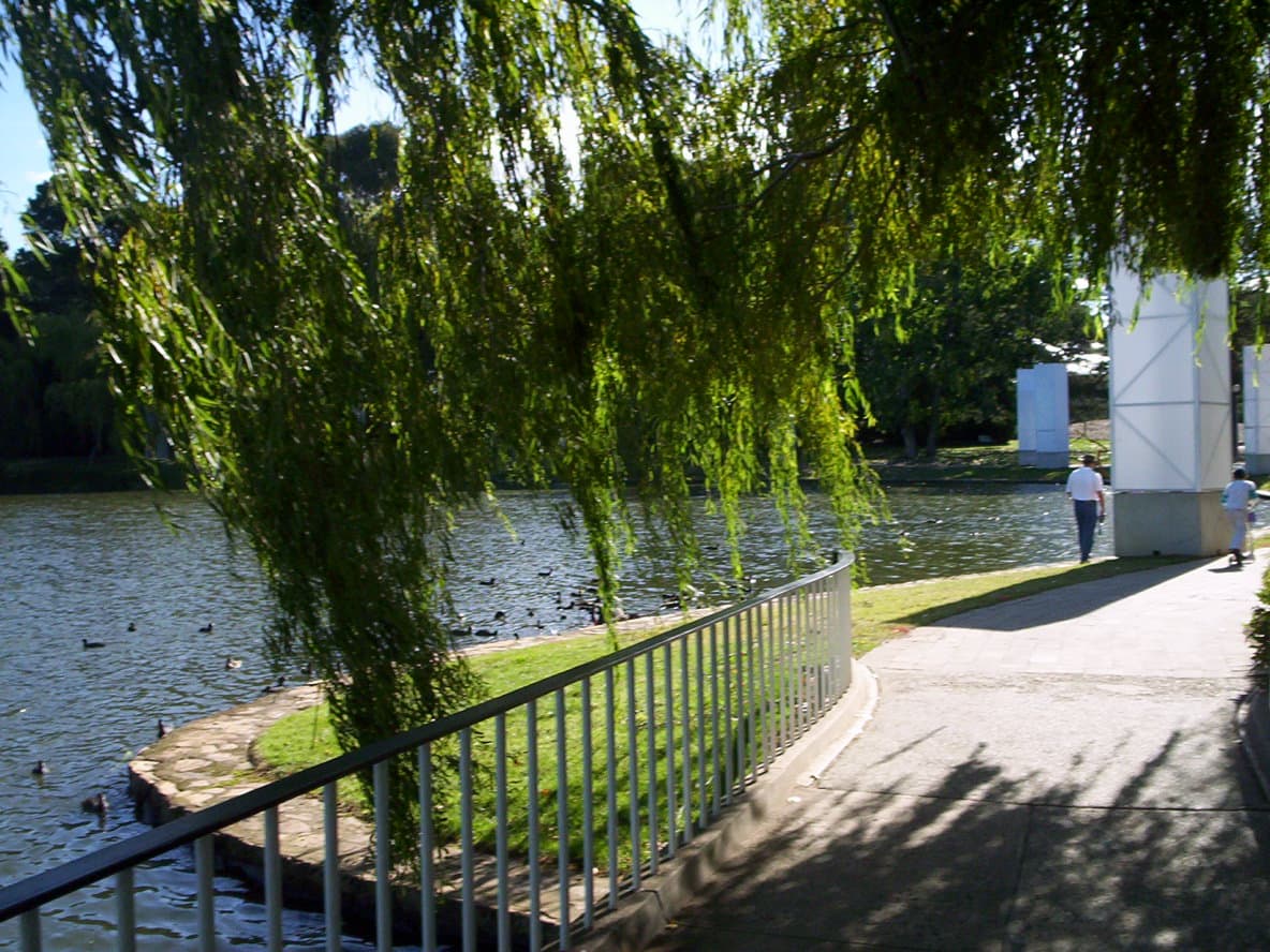
Explore the manicured gardens, public art, and seasonal festivals that make Commonwealth Park a central green space on…