
Keep reading
Nearby & related
Montague Island: Alaska’s Largest Chugach Island Wilderness
Remote and roadless, Montague Island delivers raw Prince William Sound scenery, marine wildlife, and backcountry…
13 August 2026
Explore the dramatic shores, old-growth forests, and wildlife-rich waters of this uninhabited Gulf of Alaska island.
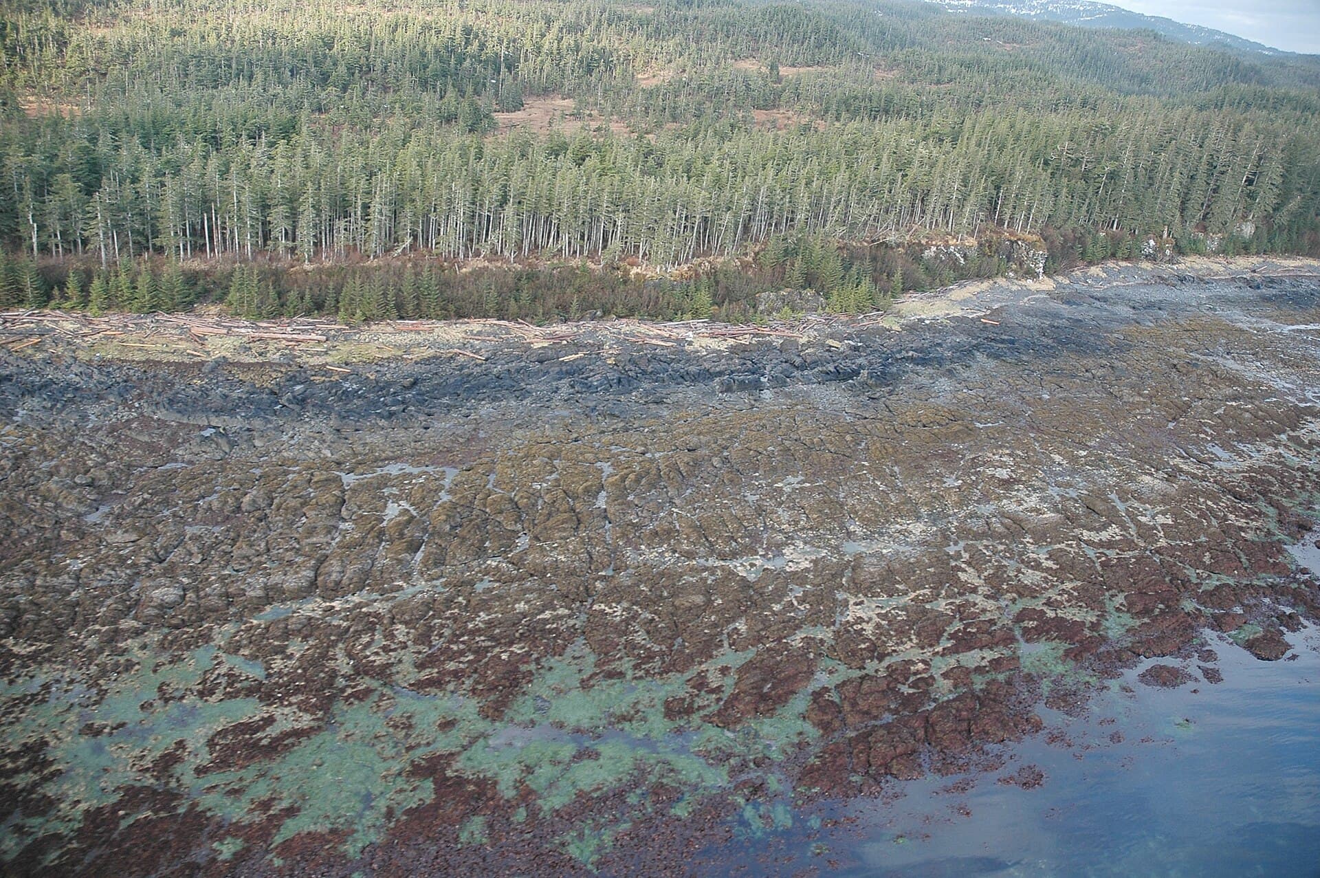
Kayak Island rises from the stormy Gulf of Alaska as a narrow, 20-mile-long strip of land shaped by tectonic forces and relentless Pacific storms. Its western beaches feature black sand and massive drift logs, while the interior holds dense Sitka spruce forests that escaped the last ice age. The island marks the spot where Captain James Cook made his first Alaska landing in 1778, leaving behind a bottle and coins that confirmed European contact.
Reach the island only by boat or floatplane from Cordova, roughly 50 miles to the northeast. Commercial flights serve Cordova year-round from Anchorage; once there, arrange a multi-day charter with local operators familiar with the island’s exposed anchorages. No roads, docks, or public transport exist on Kayak itself, so every visitor arrives self-sufficient.
June through early September offers the longest daylight and calmest seas, allowing safe beach landings and extended hikes. May and September can work for experienced paddlers but bring higher chances of gale-force winds. Winter visits are rare and require expedition-level preparation.
From Kayak, boaters can continue to Wingham Island’s seabird colonies or the abandoned lighthouse ruins on Cape St. Elias, both within a day’s travel when weather cooperates.
No permit is required for day or overnight visits, but all waste must be packed out and campfires are restricted to established beach sites during fire bans.
Expect brown bears, harbor seals, sea otters, bald eagles, and large numbers of migratory seabirds, especially during spring and fall.
Yes, but choose sites above the high-tide line on the western beaches; there are no designated campgrounds or facilities.
Most visitors spend three to five days to account for weather delays and to explore both the north and south ends of the island.
Circumnavigating is possible in calm conditions but requires advanced skills; the eastern side faces open-ocean swells and strong currents.
Keep reading
Remote and roadless, Montague Island delivers raw Prince William Sound scenery, marine wildlife, and backcountry…