
Keep reading
Nearby & related
Isla del Pescado: Bolivia’s Cactus-Covered Island in the Salar de Uyuni
A rugged hill rising from the world’s largest salt flat, Isla del Pescado rewards visitors with giant cacti and sweeping…
12 October 2026

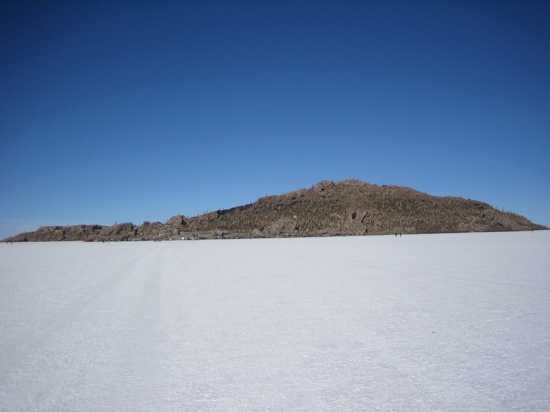
A solitary rocky outcrop blanketed in giant cacti, Isla Incahuasi offers hikers sweeping views across the endless white expanse of the world’s largest salt flat.
Isla Incahuasi sits in the middle of the Salar de Uyuni, the vast salt flat that blankets southwest Bolivia. Unlike the surrounding flat white crust, this island is a steep, rocky hill covered in thousands of tall Trichocereus cacti that can reach 10 meters in height. The contrast between the dark, spiny vegetation and the blinding salt makes the site one of the most photographed stops on any Uyuni tour.
A well-worn path climbs from the parking area to the highest point in roughly 30–45 minutes. Along the way visitors pass dense stands of columnar cacti and occasional small caves. At the top, 360-degree views reveal the salt flat stretching to the horizon, with distant volcanoes and the occasional flamingo lagoon visible on clear days.
Early morning light softens the harsh salt reflections and casts long shadows across the cacti. Most visitors arrive by 4×4 just after dawn to avoid the midday glare and the crowds that arrive later from Uyuni town.
Isla Incahuasi lies roughly 80 km west of the village of Colchani. Standard three-day Salar de Uyuni tours include the island as a mid-morning stop on the second day. Independent travelers with a high-clearance 4×4 can reach it via the marked track that crosses the salt flat from the eastern shore; GPS coordinates are -20.2428, -67.6253. No public transport serves the island directly.
The dry season from May to October offers firm salt crust and clear skies ideal for hiking. November through April brings occasional rain that can flood the salt flat, making vehicle access difficult and the island trail muddy. December to February also coincides with the cactus flowering period, when white blooms appear at the tips of many plants.
Most visitors reach the summit in 30 to 45 minutes via the main trail, depending on fitness and photo stops.
Yes, but you need a high-clearance 4x4 and local knowledge of safe salt-flat routes; most travelers join organized tours from Uyuni for safety and logistics.
No permanent facilities exist; basic restrooms are sometimes available at the parking area during peak tour season, but visitors should plan accordingly.
Flowering typically occurs from December to February after the first rains, though the exact timing varies with annual rainfall.
No. Isla Incahuasi is the larger southern island; Isla del Pescado (Fish Island) lies farther north and is smaller but also covered in cacti.
Keep reading
A rugged hill rising from the world’s largest salt flat, Isla del Pescado rewards visitors with giant cacti and sweeping…