
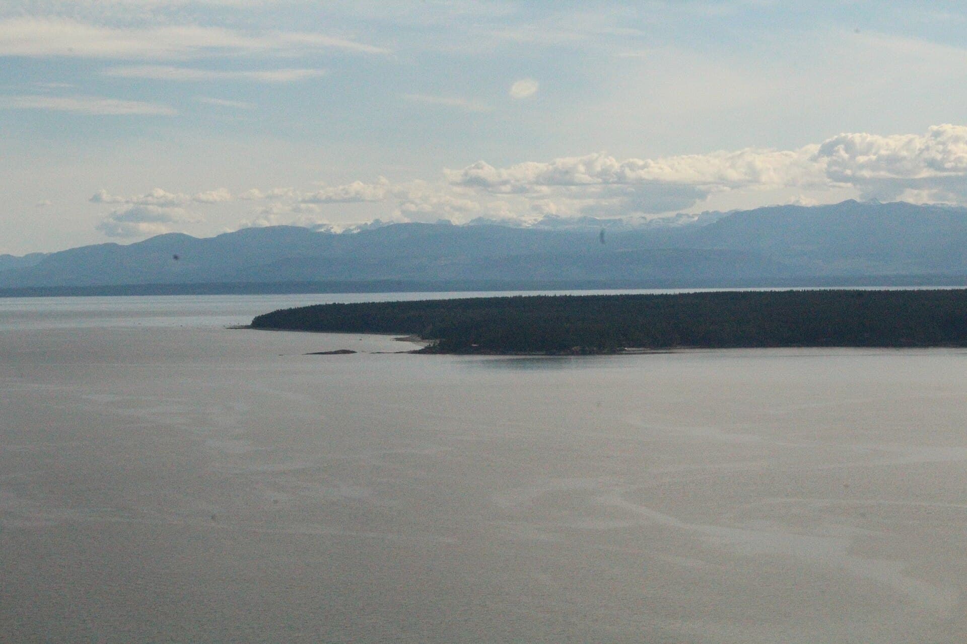
Hernando Island: Secluded Beaches and Marine Wilderness in British Columbia
Explore the quiet coves, old-growth forests, and abundant sea life of this little-known island in the Discovery Islands archipelago.
Why Hernando Island Stands Out
Hernando Island sits in the northern Strait of Georgia, part of the qathet Regional District. Its rocky shoreline, sheltered bays, and dense coastal forest attract kayakers and boaters seeking solitude away from busier Gulf Islands routes. The island remains largely undeveloped, preserving a sense of remote wilderness while lying within easy reach of Powell River and Campbell River.
How to Reach Hernando Island
Travelers arrive by private boat, water taxi, or float plane from Lund or Powell River on the mainland. The short crossing crosses open water that can turn rough quickly, so local operators familiar with tidal currents provide the safest passage. No scheduled ferry service exists, and visitors must plan return transport in advance.
Best Time to Visit
July and August bring the calmest seas and warmest days for paddling and beach time. Late spring and early fall offer fewer boats and vibrant marine activity with lower risk of summer crowds. Winter visits suit only experienced boaters equipped for frequent storms and shorter daylight.
Things to See and Do
Kayakers launch from sheltered coves to explore tide pools teeming with sea stars and anemones. Bald eagles nest along the shoreline, and harbor seals often haul out on rocky points. Short inland trails wind through stands of cedar and fir, offering quiet forest walks. Anglers target salmon and halibut in surrounding waters, while photographers capture sunsets over Vancouver Island’s mountains. Because facilities are minimal, most visitors camp on their own vessels or arrange stays on neighboring Cortes Island.
Nearby Destinations
Desolation Sound Marine Provincial Park lies just north, famous for its warm-water bays and dramatic fjords. Cortes Island and Quadra Island provide resupply points and additional hiking. Savary Island’s sandy beaches sit to the south, creating an easy multi-island itinerary for paddlers.
Practical Considerations
Cell coverage is patchy. Carry extra fuel, fresh water, and a tide table. Respect private property signs that mark much of the shoreline. Leave no trace practices protect the island’s fragile ecosystems for future visitors.
Visitor tips
- Book water taxi or float-plane transport well ahead, especially during peak summer months when operators have limited capacity.
- Pack layers, rain gear, and sturdy footwear; the island offers no stores or services for forgotten items.
- Study tidal charts before paddling; strong currents around Hernando can change paddling conditions rapidly.
Frequently asked questions
Is Hernando Island open to the public?
Most of the shoreline and interior trails are accessible to respectful visitors, though sections remain private property; always check signage and avoid trespassing.
Can I camp on Hernando Island?
No established campgrounds exist; overnight stays are limited to anchored boats or permitted sites on nearby islands.
What wildlife might I encounter?
Expect frequent sightings of harbor seals, bald eagles, and occasional orcas or humpback whales in the surrounding waters.
How long does the boat trip take from Powell River?
Water-taxi crossings typically last 30 to 60 minutes depending on exact departure point and sea conditions.
Are there hiking trails on the island?
A handful of informal paths cross the interior forest; bring a map and navigation tools as trails are unmarked and lightly maintained.