
Keep reading
Nearby & related
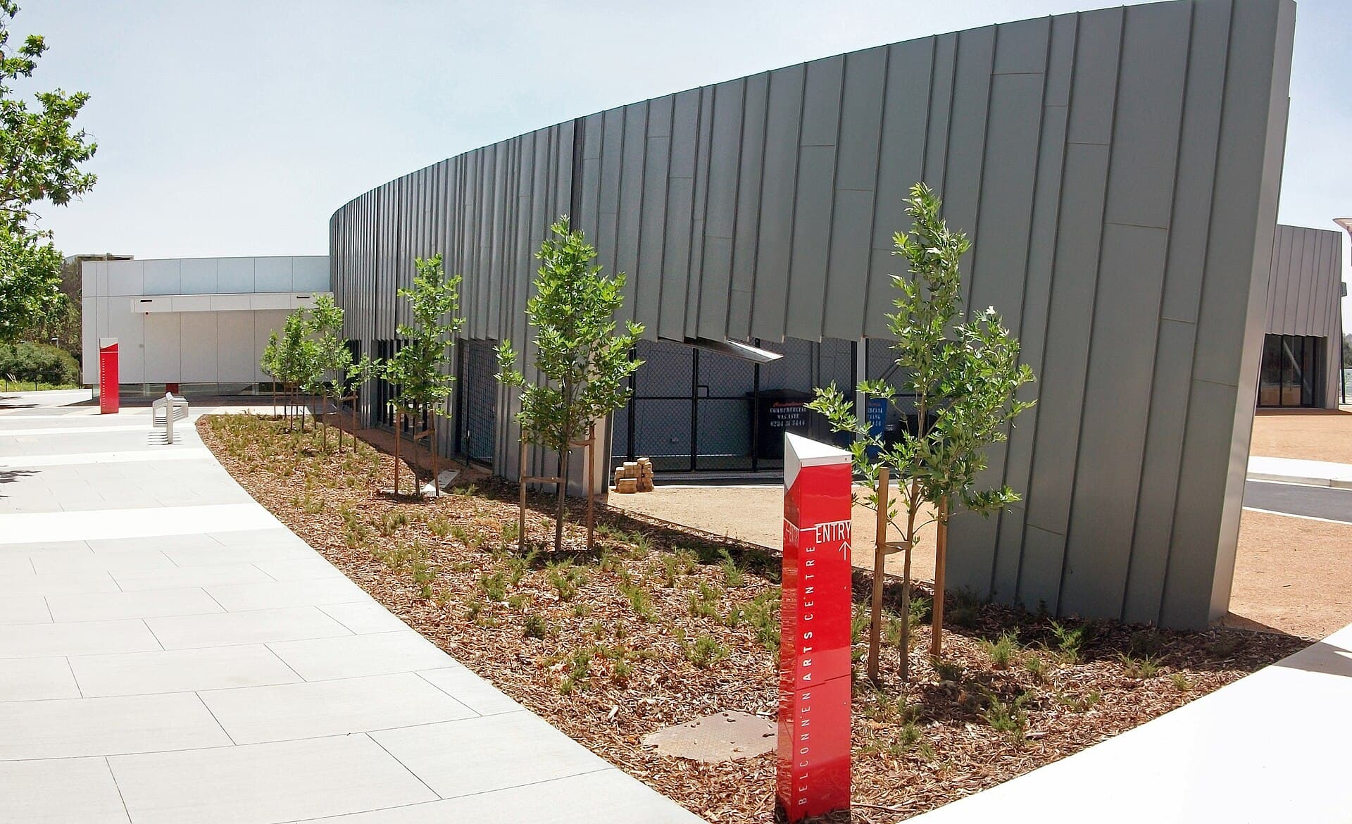
Belconnen Arts Centre: Contemporary Creativity in Canberra’s Belconnen District
Discover exhibitions, performances and community programs at this lively arts hub north of Canberra’s city centre.
18 September 2026
A practical guide to reaching, exploring and enjoying the trails and views at Harcourt Hill near Canberra.
Harcourt Hill rises gently above the northern suburbs of Canberra, offering walkers an accessible summit with sweeping views across the city, Lake Ginninderra and the distant Brindabella Range. Its modest elevation and network of fire trails make it ideal for half-day outings rather than full-day expeditions, while still delivering the sense of having left the urban grid behind.
Most visitors start from the suburb of Evatt or the nearby Harcourt Hill Reserve entrance off William Slim Drive. Public buses reach the lower slopes, but the majority of walkers drive and park in the small signed car park at the reserve gate. From central Canberra the drive takes about 20 minutes via the Barton Highway and local arterial roads. The final approach is on sealed suburban streets that give way to gravel at the reserve boundary.
The main route follows a wide management track that climbs steadily through eucalypt woodland to the trig point near the summit. Side loops branch off to rocky outcrops that provide better vantage points for photographs. Total distance for the out-and-back summit walk is roughly 6 km with 200 m of elevation gain. The surface is firm gravel and dirt, suitable for sturdy walking shoes; after rain some sections can become slippery.
Red stringybark and scribbly gum dominate the slopes, with native grasses and occasional kangaroo grass understorey. Eastern grey kangaroos are commonly seen grazing at dawn and dusk. From the summit cairn the panorama takes in the parliamentary triangle on clear days and the radio towers on Black Mountain to the south. Spring wildflowers appear along the verges, while autumn brings cooler temperatures and fewer insects.
Canberra’s climate favours visits between March and November. Summer heat and occasional bushfire risk make early morning starts essential between December and February. Winter days can be crisp but offer excellent visibility; frost on the higher sections is possible. Always check the ACT Emergency Services app for fire danger ratings before setting out.
After descending, many walkers continue to Lake Ginninderra for a flat lakeside stroll or visit the nearby Belconnen Arts Centre. The University of Canberra campus and its public art collection lie a short drive south, providing an easy cultural add-on to a morning on the hill.
Keep reading
Discover exhibitions, performances and community programs at this lively arts hub north of Canberra’s city centre.
The main track is a steady but moderate climb on a wide gravel surface, suitable for anyone with average fitness. Allow two to three hours return.
Mountain bikes are permitted on the management trails. Dogs must be kept on a lead at all times within the reserve.
Reception is generally reliable from the higher slopes looking toward Canberra, but coverage can drop in sheltered gullies.
No facilities exist within the reserve itself. The nearest public toilets and picnic areas are at Lake Ginninderra, a five-minute drive away.
Leave the area immediately via the main access road and follow directions from ACT Emergency Services. Do not attempt to stay and observe.
Explore the accessible trails, wildflower meadows and sweeping views from Mount Rogers, a compact peak in Canberra’s…
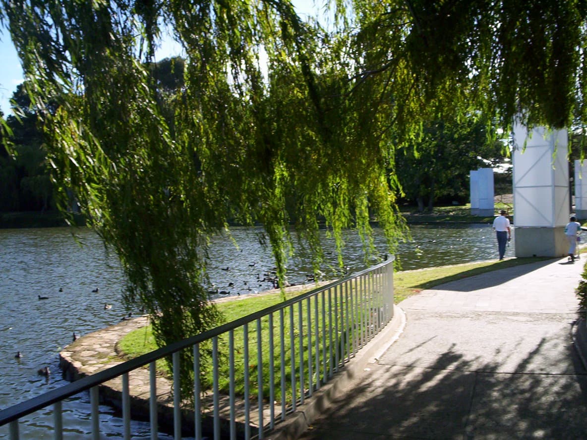
Explore the manicured gardens, public art, and seasonal festivals that make Commonwealth Park a central green space on…