Skip to content
Plan & Tour
DestinationsItinerariesTravel BlogAboutContact
0Sign inPlan a trip
Plan & TourPlan & Tour

Travel guides, destination inspiration and curated itineraries for Canada, the USA and beyond, plus a free tool to plan your own day-by-day trip.

Get travel inspiration

Explore

  • All Destinations
  • Curated Itineraries
  • Travel Blog
  • Plan a Trip

Topics

  • Hiking & Nature
  • Food & Drink
  • City Breaks
  • Budget Travel

Company

  • About Us
  • Contact
  • Privacy Policy
  • Terms of Service

© 2026 Plan & Tour. Built for travellers.

Discover the world, one trip at a time.

Emmabank: Bremen’s Historic Riverside Monument
  1. Home
  2. Destinations
  3. Bremen
  4. Emmabank: Bremen’s Historic Riverside Monument
Monument

Emmabank: Bremen’s Historic Riverside Monument

Walk the quiet stone embankment of Emmabank along the Weser in Bremen for peaceful views and local history.

BremenUpdated 14 October 2026

What Is Emmabank?

Emmabank is a modest stone embankment and monument on the right bank of the Weser River in Bremen. The low wall and inscribed plaques mark a stretch of riverside that has long served as a quiet vantage point over the water and the city’s ship traffic.

Why Visit

The site rewards visitors who want an uncrowded pause between Bremen’s busier sights. From the top of the bank you look across to the Schlachte promenade and the masts of traditional sailing vessels. On clear days the view reaches toward the Weser Tower and the distant port cranes. The monument itself is simple: a curved retaining wall of dark stone with metal lettering that records the embankment’s construction and its connection to the city’s river trade.

History

The embankment dates to the late nineteenth century when Bremen expanded its flood defenses and created public walks along the Weser. Named for a local benefactor, it has remained largely unchanged, offering a tangible reminder of the city’s maritime past without the crowds of the market square or the cathedral.

How to Get There

Emmabank lies a short walk from Bremen Hauptbahnhof. Follow the pedestrian route south along Bürgermeister-Smidt-Straße, cross the railway bridge, and continue along the river path for about fifteen minutes. Trams 1, 2, and 3 stop at nearby stations such as Am Brill or Doventor; from there the riverside path is clearly signed.

Best Time to Visit

Spring and early autumn bring mild temperatures and fewer tourists. Summer evenings are pleasant for watching the sunset over the water, while winter visits are best on clear, calm days when the stone wall offers shelter from wind. The site is open at all hours and free.

Nearby Attractions

  • Schlachte Embankment – lively promenade with cafés and boat tours.
  • Bremen Cathedral and Marktplatz – fifteen-minute walk north.
  • Übersee-Museum – ethnographic collections a few blocks inland.
  • Weser Tower – modern viewpoint reachable by riverside path.

Combine a visit to Emmabank with a longer stroll along the Weser for a relaxed half-day itinerary.

Visitor tips

  • Bring a light jacket; the river breeze can be cool even on sunny days.
  • Pair the visit with a Schlachte boat tour for contrasting river perspectives.
  • Use the riverside cycle path if you prefer to arrive by bike from the station.

Frequently asked questions

Is Emmabank wheelchair accessible?+

The riverside path leading to the monument is paved and mostly level, though the final approach has a gentle slope.

Are there toilets or cafu00e9s at Emmabank?+

No facilities stand directly on the monument; the nearest cafu00e9s and restrooms are on the Schlachte promenade opposite the river.

Can I take photos at Emmabank?+

Photography is unrestricted and the open river views make it a popular spot for cityscape shots.

Is Emmabank suitable for children?+

The low wall and open space are safe for families, but supervise children near the wateru2019s edge.

Does Emmabank host events?+

Occasional small cultural events occur on summer evenings, but the site remains primarily a quiet public space year-round.

Share
Google Maps Apple Maps Directions

Image: Blutgretchen (talk) · CC BY-SA 3.0 · via Wikimedia Commons

Keep reading

Nearby & related

All stories
Krietes Wald (Im Holze): A Protected Forest Sanctuary Near Bremen
Osterholz

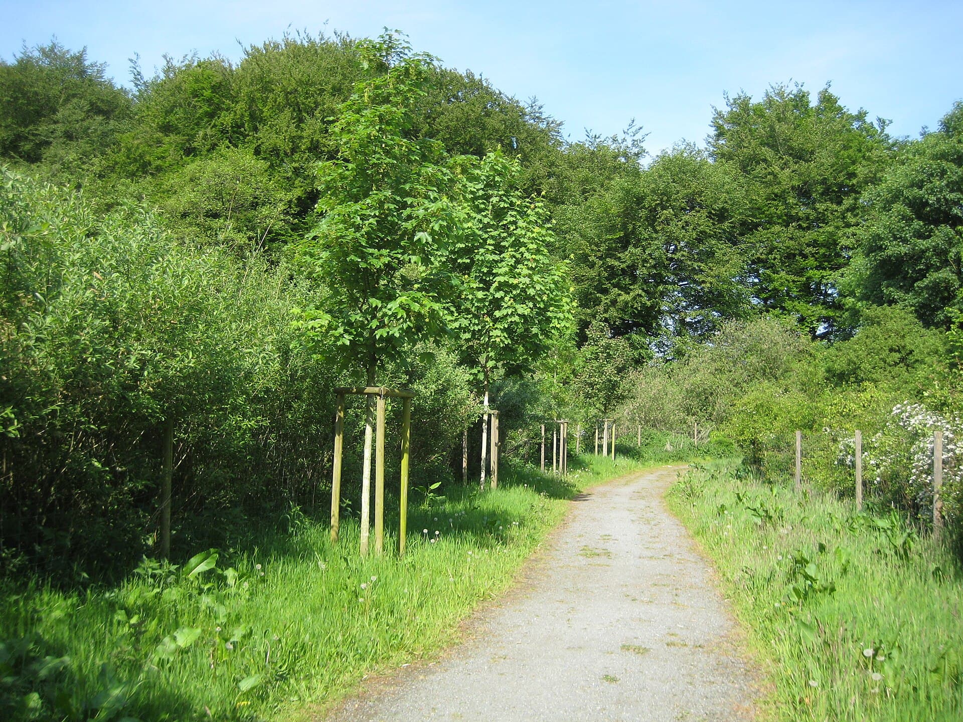
Krietes Wald (Im Holze): A Protected Forest Sanctuary Near Bremen

This quiet woodland reserve in Osterholz offers peaceful trails through ancient trees and habitats for native wildlife…

15 October 2026
Hochwasserschutzpolder zwischen Senator-Apelt-Straße und Neustädter Hafen: A Quiet Nature Retreat in Bremen’s Port District
Häfen

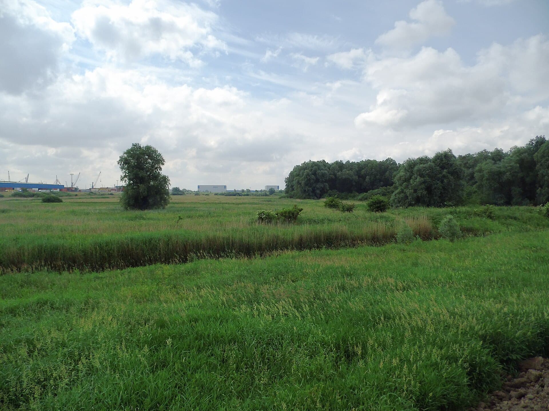
Hochwasserschutzpolder zwischen Senator-Apelt-Straße und Neustädter Hafen: A Quiet Nature Retreat in Bremen’s Port District

This protected flood-control polder offers peaceful walking paths, harbor views, and wildlife habitat right in the heart…

15 October 2026
Vogelschutzgehölz Sodenmatt: A Quiet Bird Sanctuary in Bremen’s Huchting District
Huchting

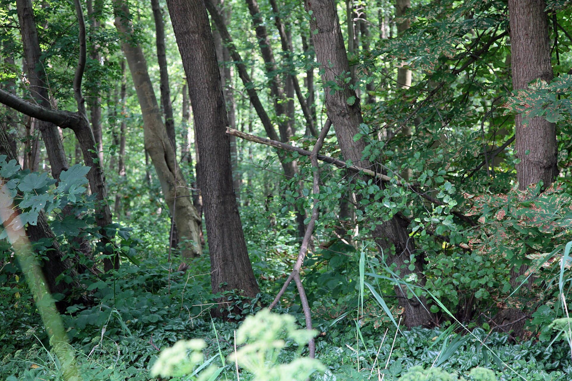
Vogelschutzgehölz Sodenmatt: A Quiet Bird Sanctuary in Bremen’s Huchting District

This protected woodland in western Bremen offers excellent birdwatching and gentle walks amid native trees and wetlands.

15 October 2026