Skip to content
Plan & Tour
DestinationsItinerariesTravel BlogAboutContact
0Sign inPlan a trip
Plan & TourPlan & Tour

Travel guides, destination inspiration and curated itineraries for Canada, the USA and beyond, plus a free tool to plan your own day-by-day trip.

Get travel inspiration

Explore

  • All Destinations
  • Curated Itineraries
  • Travel Blog
  • Plan a Trip

Topics

  • Hiking & Nature
  • Food & Drink
  • City Breaks
  • Budget Travel

Company

  • About Us
  • Contact
  • Privacy Policy
  • Terms of Service

© 2026 Plan & Tour. Built for travellers.

Discover the world, one trip at a time.

Cumbre Nueva: Hiking La Palma’s Dramatic Volcanic Ridge
  1. Home
  2. Destinations
  3. Santa Cruz de Tenerife Province
  4. Cumbre Nueva: Hiking La Palma’s Dramatic Volcanic Ridge
Mountain

Cumbre Nueva: Hiking La Palma’s Dramatic Volcanic Ridge

Traverse pine forests and crater-edge trails on this iconic ridge offering sweeping views across La Palma.

Santa Cruz de Tenerife ProvinceUpdated 12 November 2026

Why Cumbre Nueva Stands Out

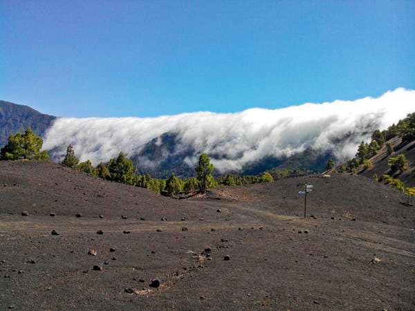
Cumbre Nueva forms a long north-south ridge on La Palma that separates the fertile Aridane Valley from the vast Caldera de Taburiente. Its slopes rise through Canary pine forest to open volcanic terrain, creating one of the island’s most accessible yet dramatic hiking environments. The ridge’s position delivers constant panoramas of both the island’s green western flank and the sheer walls of the caldera.

Top Trails and Activities

The classic route follows the GR-131 long-distance path along the crest. Hikers start near the Mirador de la Cumbre Nueva and continue south or north, passing through open pine stands and occasional volcanic outcrops. Shorter options include the loop to the Cumbrecita viewpoint or the descent into the Barranco de las Angustias. Birdwatchers often spot laurel pigeons and raptors along the ridge edges.

Stargazing and Photography

The ridge sits above much of the island’s light pollution, making it a favored spot for night-sky viewing. Photographers favor sunrise from the eastern side of the ridge, where the first light catches the caldera rim.

Getting There

Most visitors reach the ridge by car via the LP-3 road that crosses La Palma’s central highlands. The nearest towns with reliable bus connections are El Paso and Los Llanos de Aridane. Several trailheads lie within a short drive of these centers, and parking areas are available at the main miradors. Taxis from the airport take roughly 30 minutes.

Best Time to Visit

Spring and autumn bring the clearest skies and most comfortable temperatures for hiking. Winter months can bring occasional rain and stronger winds on the exposed ridge, while summer afternoons grow hot on the unshaded sections. Early morning starts help avoid both heat and afternoon cloud build-up.

Nearby Attractions

Combine a ridge hike with a visit to the Caldera de Taburiente National Park visitor center or the lush banana plantations of the western valleys. The coastal town of Puerto Naos offers a convenient base with black-sand beaches and seafood restaurants.

Visitor tips

  • Wear sturdy hiking shoes with good grip; the ridge paths include loose volcanic gravel and occasional steep drops.
  • Carry more water than you think you needu2014shade is limited once you leave the pine forest.
  • Check the wind forecast before setting out; the crest is fully exposed and gusts can be strong even on clear days.

Frequently asked questions

How difficult are the hikes on Cumbre Nueva?+

Most ridge trails are moderate for experienced walkers, with some steep sections and exposure. Beginners can enjoy shorter out-and-back walks from the main miradors.

Do I need a guide for Cumbre Nueva?+

The main paths are well marked and suitable for independent hikers with a good map or GPS app. Guided walks are available if you want local geological or botanical insights.

Is Cumbre Nueva good for families?+

Short, gentle sections near the viewpoints work well for older children, but the longer crest routes involve exposure and are better suited to fit adults.

Can I see the sea from the ridge?+

On clear days the western end of the ridge offers distant views of the Atlantic, though the most striking vistas are of the caldera and interior valleys.

Are dogs allowed on the trails?+

Dogs are permitted on most paths if kept on a lead, but check current park regulations as some sections near the national park boundary have restrictions.

Share
Google Maps Apple Maps Directions

Image: Mathias Siebold · CC BY-SA 3.0 · via Wikimedia Commons

Keep reading

Nearby & related

All stories
P
Santa Cruz de Tenerife Province

Playa de Bajamar: Tenerife’s Rugged Black-Sand Beach and Natural Pools

Find calm volcanic shores, dramatic cliffs, and tide-fed rock pools on Tenerife’s wild northern coast.

12 November 2026
Playa de Benijo: Tenerife’s Rugged Black-Sand Beach in the Anaga Mountains
Santa Cruz de Tenerife Province

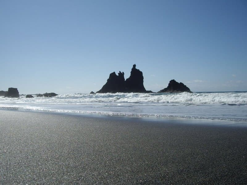
Playa de Benijo: Tenerife’s Rugged Black-Sand Beach in the Anaga Mountains

A dramatic pebble cove backed by steep cliffs and Atlantic waves, offering hikers and photographers an untamed slice of…

12 November 2026
Playa de las Vistas: Tenerife’s Golden-Sand Family Beach in Los Cristianos
Santa Cruz de Tenerife Province

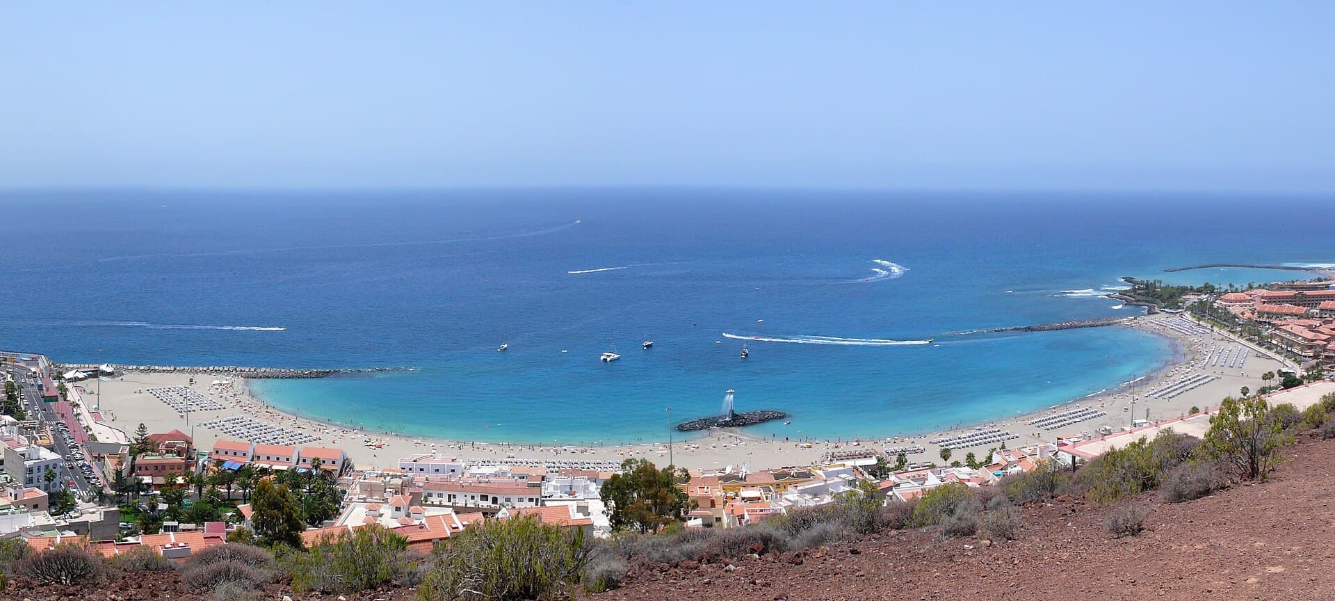
Playa de las Vistas: Tenerife’s Golden-Sand Family Beach in Los Cristianos

A calm, accessible stretch of imported golden sand with a lively promenade, ideal for swimming and relaxed days on…

12 November 2026