Skip to content
Plan & Tour
DestinationsItinerariesTravel BlogAboutContact
0Sign inPlan a trip
Plan & TourPlan & Tour

Travel guides, destination inspiration and curated itineraries for Canada, the USA and beyond, plus a free tool to plan your own day-by-day trip.

Get travel inspiration

Explore

  • All Destinations
  • Curated Itineraries
  • Travel Blog
  • Plan a Trip

Topics

  • Hiking & Nature
  • Food & Drink
  • City Breaks
  • Budget Travel

Company

  • About Us
  • Contact
  • Privacy Policy
  • Terms of Service

© 2026 Plan & Tour. Built for travellers.

Discover the world, one trip at a time.

Crathis River: Calabria’s Longest Waterway Through Mountains and Ancient Ruins
  1. Home
  2. Destinations
  3. Calabria
  4. Crathis River: Calabria’s Longest Waterway Through Mountains and Ancient Ruins
River

Crathis River: Calabria’s Longest Waterway Through Mountains and Ancient Ruins

Follow the Crathis from the Sila highlands to the Ionian Sea for hiking, history, and quiet river scenery in southern Italy.

CalabriaUpdated 17 October 2026

Why Visit the Crathis River

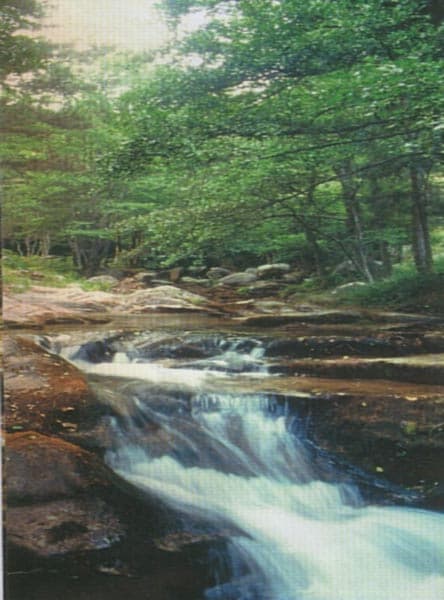
The Crathis, Calabria’s longest river, rises in the Sila Mountains and carves a 95-kilometre path southeast to the Ionian Sea near Sibari. Its clear waters, limestone gorges, and fertile valley floor create a continuous thread of natural and cultural interest that few other Calabrian waterways match.

Following the River’s Course

Upper Reaches: Sila Plateau and Forests

Above Roggiano Gravina the river runs through beech and pine woods of the Sila National Park. Short trails such as the Sentiero dei Giganti lead to viewpoints over narrow canyons and seasonal waterfalls. Spring wildflowers and autumn foliage make these sections especially rewarding for photographers and birdwatchers.

Middle Valley: Towns and Terraces

Between the mountains and the coastal plain the river passes terraced vineyards and olive groves around the villages of Bisignano and Tarsia. Riverside paths allow easy walks between stone bridges and small hydroelectric weirs that date from the early twentieth century.

Lower Reaches and the Ionian Mouth

Approaching the sea the Crathis widens into reed-fringed meanders beside the archaeological park of Sybaris. The river’s ancient Greek name is still visible on information panels at the excavated agora and theatre, linking the modern waterway to the lost city that once stood on its banks.

Things to See and Do

  • Hike or mountain-bike riverside trails in the Sila highlands.
  • Take a guided rafting or kayaking trip through the gorges near San Demetrio Corone.
  • Visit the Sybaris archaeological site and the nearby National Archaeological Museum of Sibari.
  • Swim or picnic at the pebble beaches where the river meets the Ionian Sea.
  • Sample local citrus and olive oils at agriturismi along the lower valley.

Getting There

The nearest major airport is Lamezia Terme, roughly 90 minutes by car from the upper river. From Cosenza, regional trains stop at stations along the valley floor; local buses and taxis serve trailheads. A rental car is the most practical way to move between upper and lower sections in a single day.

Best Time to Visit

April to June and September to October offer mild temperatures and reliable water levels for walking and paddling. July and August bring heat and occasional flash-flood risk in the gorges, while winter can close high-elevation trails under snow.

Nearby Attractions

Combine a river visit with the Pollino National Park to the north, the hill town of Rossano with its Byzantine churches, or the sandy beaches of the Riviera dei Cedri to the south.

Visitor tips

  • Wear sturdy shoes with good grip; many riverside paths are rocky and can be slippery after rain.
  • Carry plenty of water and sun protection in the lower valley, where shade is limited outside the gorge sections.
  • Check river levels with local guides or park offices before planning any water activity, especially after heavy rain in the Sila.

Frequently asked questions

Can you swim in the Crathis River?+

Yes, there are several calm pools and the river mouth suitable for swimming, but currents can be strong after rain and no lifeguards are present.

Is the Crathis River good for kayaking or rafting?+

The middle gorge sections offer class IIu2013III whitewater in spring; local outfitters run half-day trips from April through October.

Are there hiking trails along the entire river?+

Marked trails exist mainly in the upper Sila and selected stretches near Tarsia; the lower plain is best explored by car or bike on quiet roads.

What archaeological sites are near the Crathis?+

The Sybaris archaeological park sits at the riveru2019s mouth, and the museum in nearby Sibari displays finds from the ancient Greek colony.

Do I need a guide to visit the river gorges?+

Trails in the Sila National Park are well signed for independent hikers, but rafting or canyoning requires a licensed local guide for safety.

Share
Google Maps Apple Maps Directions

Image: The original uploader was Ndn at English Wikipedia. · CC BY 2.5 · via Wikimedia Commons

Keep reading

Nearby & related

All stories
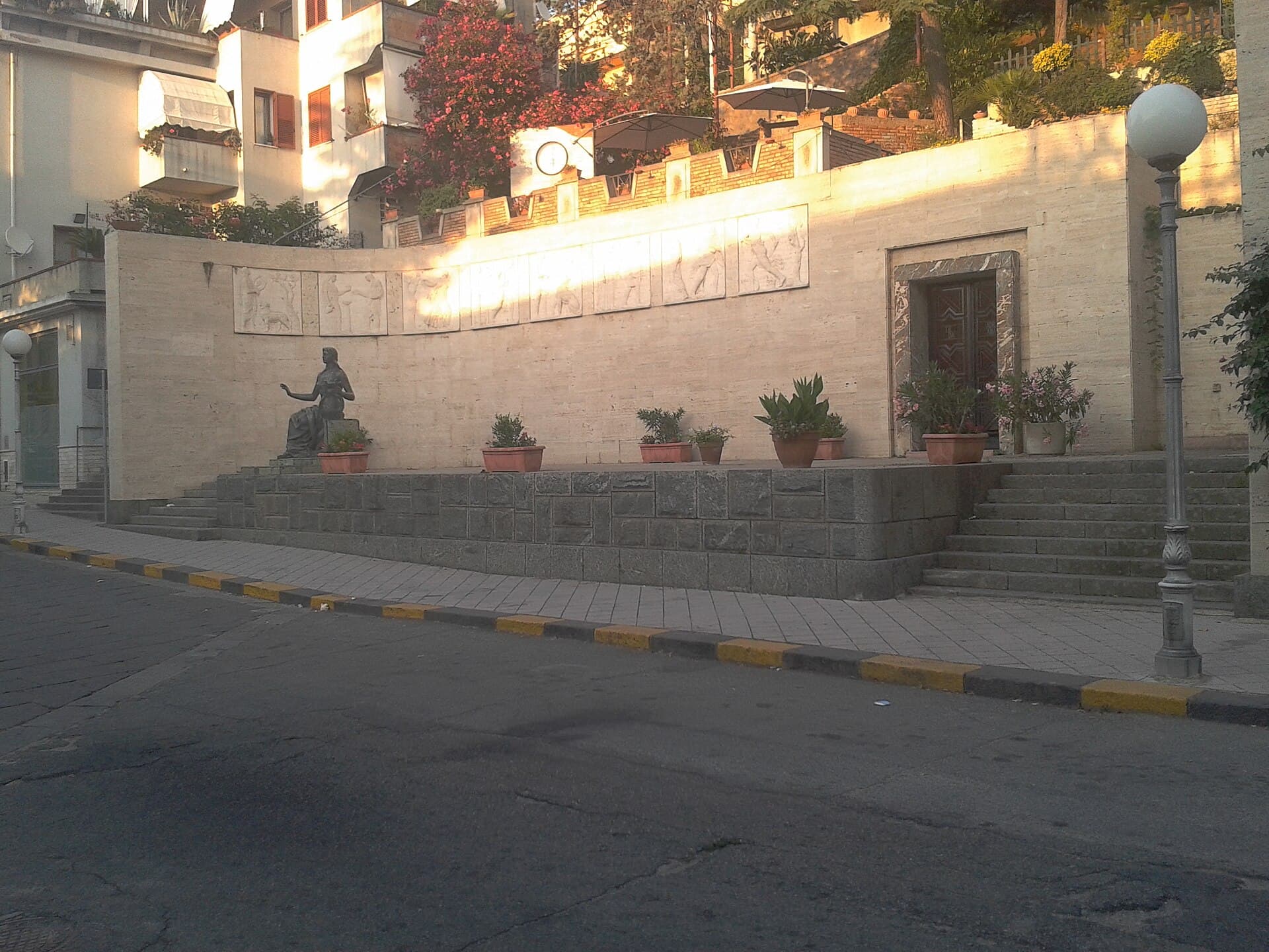
Fontana della Palma: Calabria’s 19th-Century Fountain in Pizzo
Calabria

Fontana della Palma: Calabria’s 19th-Century Fountain in Pizzo

A graceful stone monument celebrating local craftsmanship amid the historic streets of Pizzo Calabro.

17 October 2026
Mausoleo di Francesco Cilea: Honoring Calabria’s Celebrated Composer
Calabria

Mausoleo di Francesco Cilea: Honoring Calabria’s Celebrated Composer

A peaceful monument in Palmi that celebrates the life and operas of Francesco Cilea against the dramatic backdrop of the…

17 October 2026
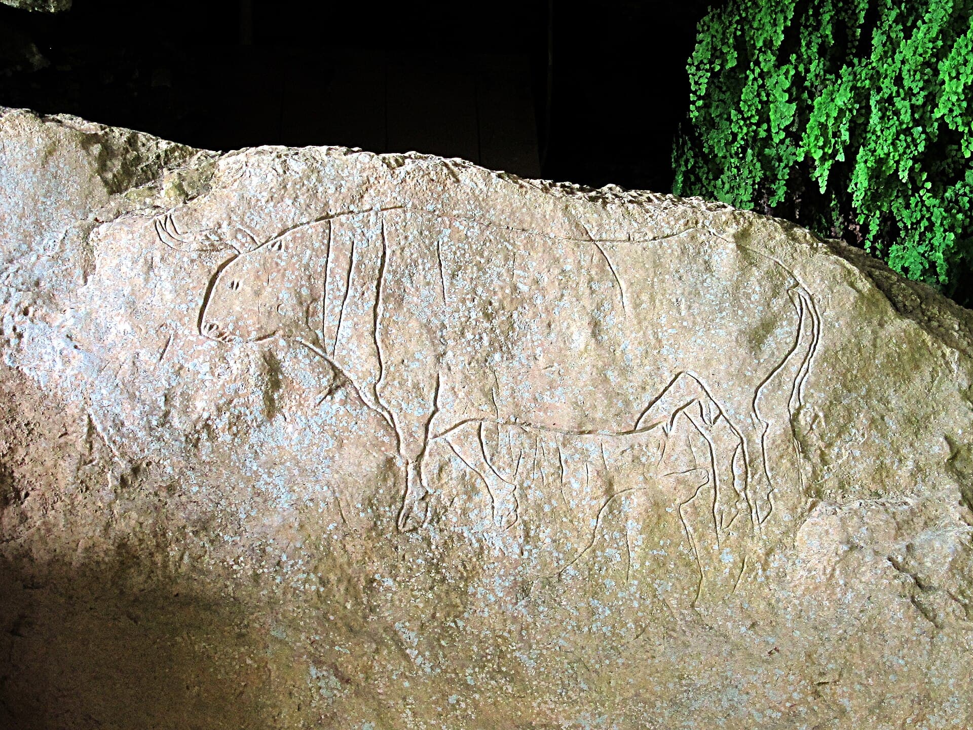
Romito Cave: Prehistoric Rock Art in Papasidero, Calabria
Papasidero

Romito Cave: Prehistoric Rock Art in Papasidero, Calabria

Discover Paleolithic engravings and ancient burials at this remote limestone cave in southern Italy.

17 October 2026