Why Visit Cordillera de Azanaques
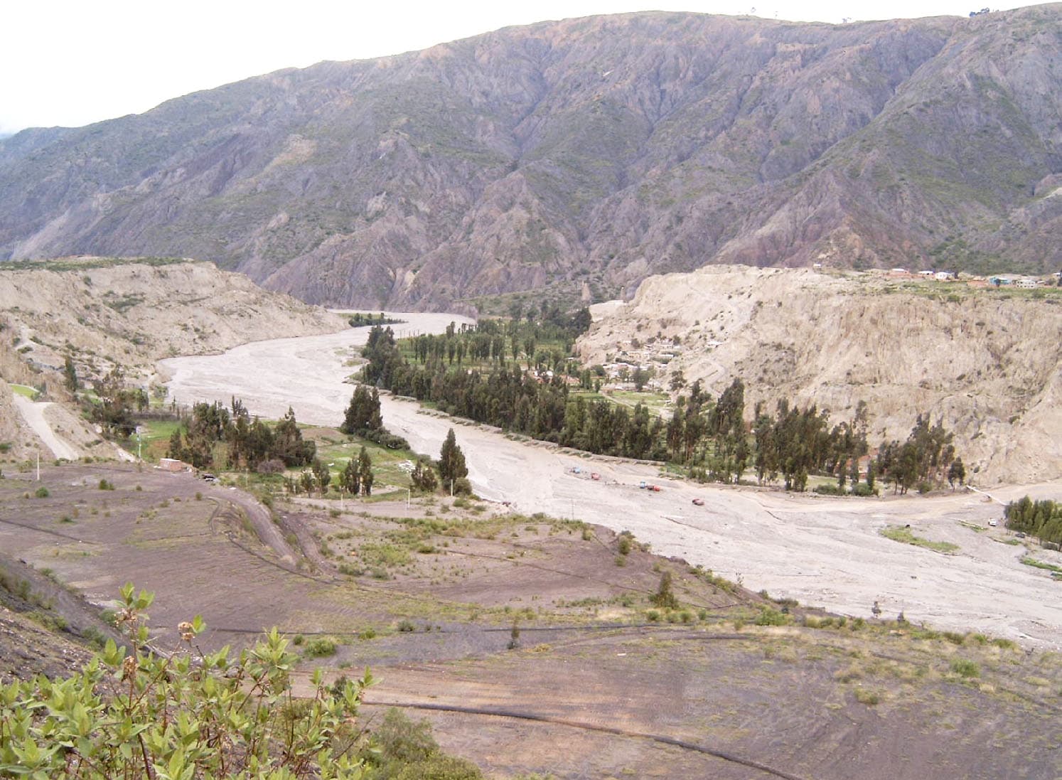
The Cordillera de Azanaques rises from the central Bolivian Altiplano as a compact chain of peaks and high plateaus that remain far quieter than the more famous ranges near La Paz. Its summits exceed 5,000 meters, offering trekkers expansive views across the brown and ochre landscape toward the distant volcanoes of the western cordillera. The area’s isolation preserves a sense of wilderness where vicuñas graze on sparse grasslands and ancient llama trails still serve local herders.
Getting There
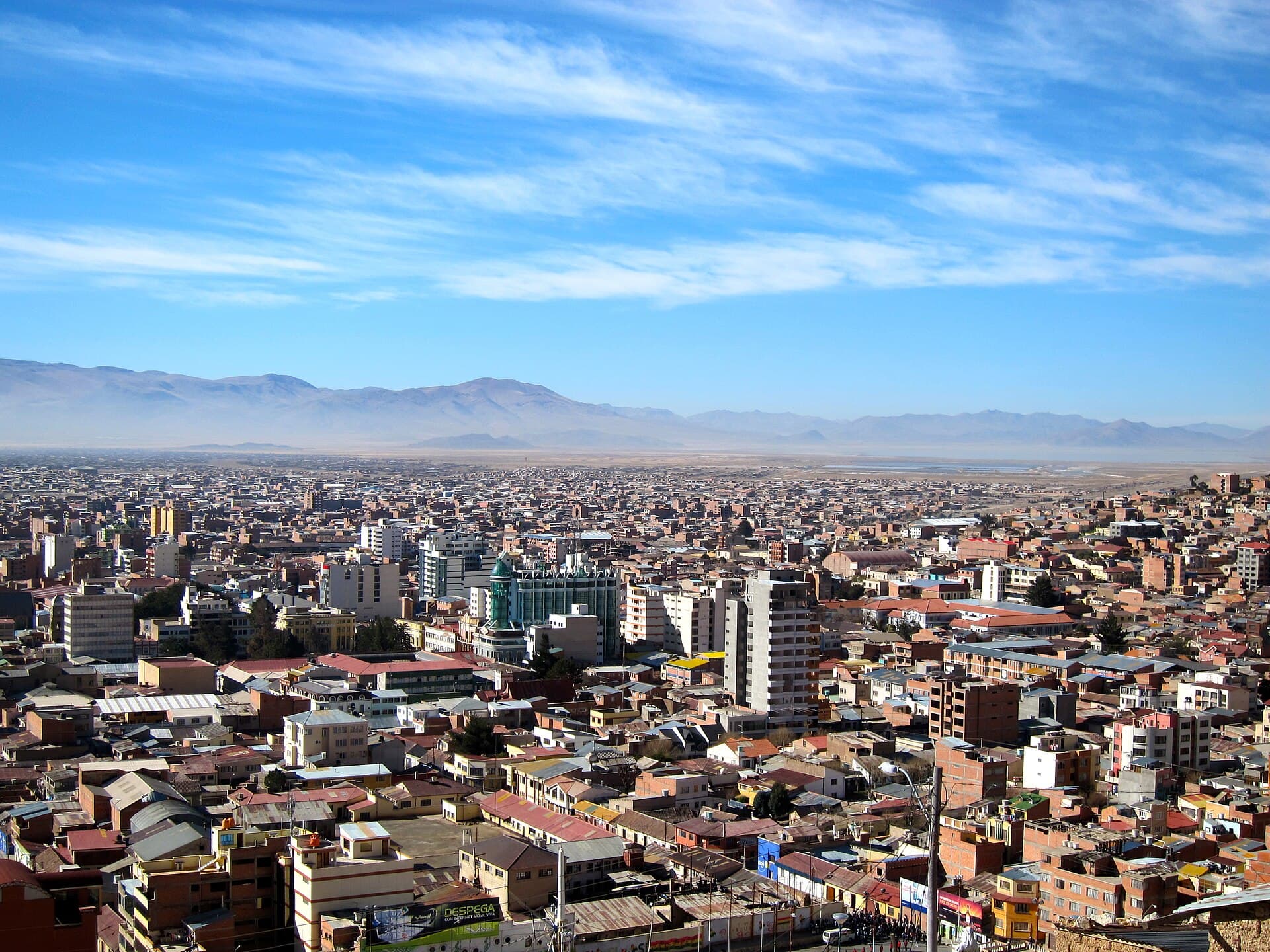
Most travelers reach the range from Oruro, a three-hour bus ride south to the town of Challapata. From there, shared taxis or hired 4×4 vehicles continue along unpaved roads toward the villages of Cruce de Huancani or Curahuara de Carangas. The final approach often requires a sturdy vehicle or a multi-day hike; no scheduled public transport enters the high valleys. Those arriving from Potosí can connect via Uyuni, adding an extra day but allowing a loop that includes the Salar de Uyuni.
Best Time to Visit
The dry season from May through October brings stable weather and clearer high-mountain views, though nighttime temperatures can drop below freezing. The wet months of December to March turn dirt tracks into mud and increase the risk of flash floods in narrow canyons. Shoulder months of April and November offer fewer visitors but more variable conditions.
What to See and Do
Popular routes begin near the village of Jirira and climb toward the main ridge, passing glacial lakes and pre-Inca ruins. A full traverse of the range takes four to six days and rewards hikers with sightings of Andean condors and herds of wild camelids. Shorter day hikes reach the 5,200-meter pass of Abra de Azanaques, where the entire eastern Altiplano spreads out below. Photographers favor the golden light at sunrise over the serrated skyline. Because infrastructure is minimal, most visitors camp or stay in simple community lodges in the lower valleys.
Nearby Attractions
After exploring the cordillera, many travelers continue to the Salar de Uyuni salt flats, roughly 150 kilometers southwest, or visit the thermal springs at Jirira. The route also passes the shrinking Lake Poopó, offering a sobering look at changing highland ecosystems. Combining the range with a Uyuni tour creates a logical two-week itinerary through southern Bolivia’s most dramatic highland scenery.