
Keep reading
Nearby & related
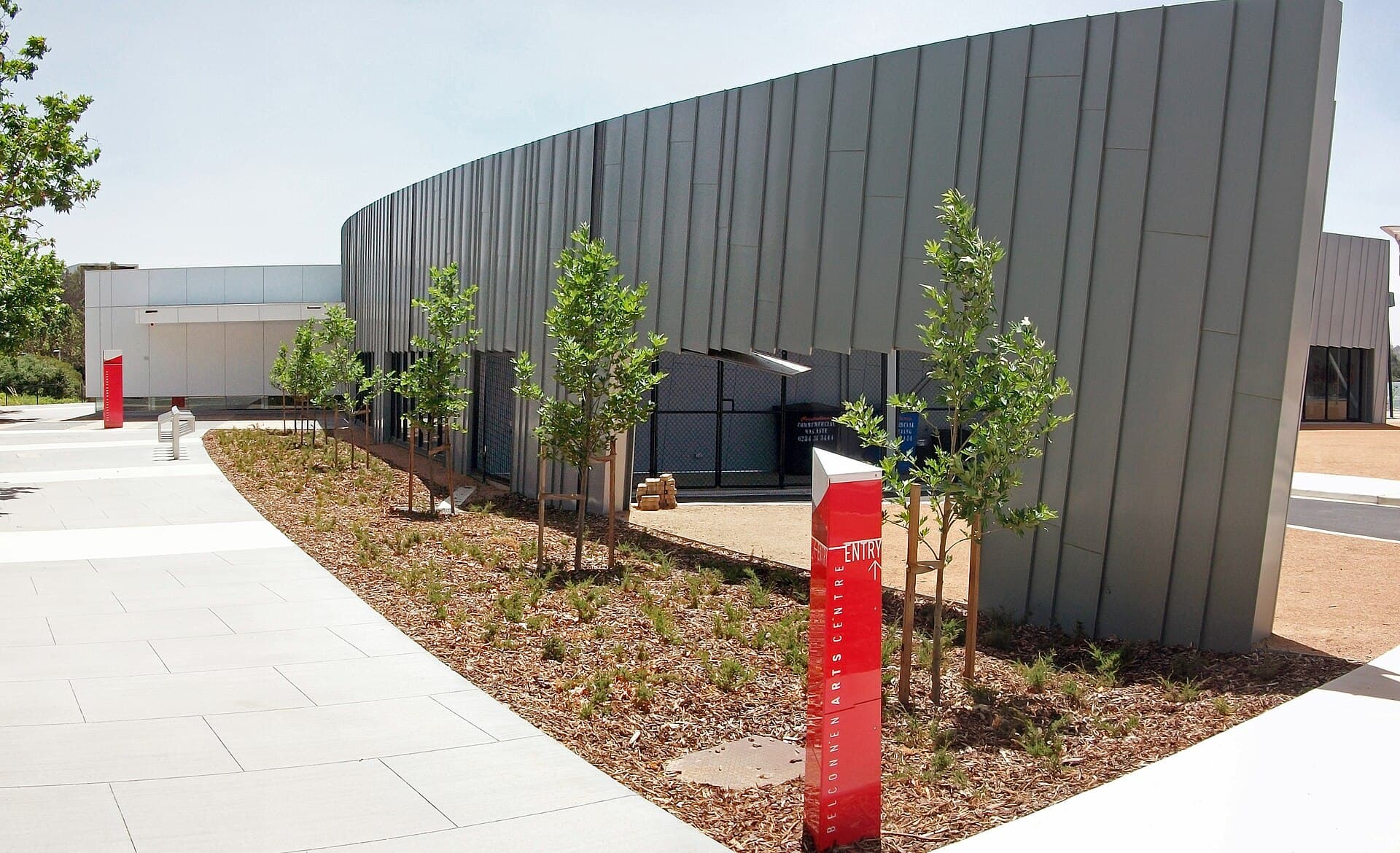
Belconnen Arts Centre: Contemporary Creativity in Canberra’s Belconnen District
Discover exhibitions, performances and community programs at this lively arts hub north of Canberra’s city centre.
18 September 2026
Explore rugged trails, wildflower displays and sweeping Canberra-region vistas on this accessible mountain in the Australian Capital Territory.
Black Hill rises in the northern Brindabella Range within the Australian Capital Territory, offering a compact yet rewarding bushwalking destination close to Canberra. The mountain’s open ridges and eucalypt forests provide a genuine sense of the high-country landscape that defines the ACT’s western edge, with 360-degree views across the Murrumbidgee valley and distant peaks of Namadgi National Park.
Most visitors start from Canberra’s western suburbs. Take the Tuggeranong Parkway south, then follow the Cotter Road and Brindabella Road toward the mountain’s eastern flanks. A signed turn-off leads to a small parking area at the base of the main walking track. The drive takes roughly 45 minutes from Civic under normal conditions. Public transport is limited, so a private vehicle or organised tour is the most practical option.
The primary route follows a steady climb through stringybark woodland to the summit cairn. The track is well-defined but steep in sections, with some rocky steps and occasional creek crossings after rain. At the top, a small clearing reveals layered views of Canberra’s urban fringe to the east and the rolling Brindabella ridges to the west. Shorter loops allow visitors to combine the summit with nearby fire trails for a half-day outing. Wildflowers appear prominently in spring, while autumn brings cooler temperatures and clearer air for photography.
Keep an eye out for eastern grey kangaroos at dawn and dusk, along with wedge-tailed eagles soaring on thermals. The area forms part of a broader conservation zone, so walkers are asked to stay on marked paths to protect fragile alpine soils.
April to November offers the most comfortable walking conditions, avoiding summer heat and occasional winter snow on higher ridges. Early morning starts help avoid afternoon winds that can sweep across the exposed summit. Always check the ACT Parks and Conservation Service alerts for track closures after heavy rain or planned burns.
Combine a Black Hill visit with the nearby Cotter River recreation area for swimming holes and picnic facilities, or continue west to the historic Brindabella homesteads and the spectacular Scrivener Dam lookout. Tidbinbilla Nature Reserve lies a short drive south and offers sealed walking paths through wetlands and enclosures with native animals.
Keep reading
Discover exhibitions, performances and community programs at this lively arts hub north of Canberra’s city centre.
Allow two to three hours return for the main track, depending on fitness and how long you linger at the summit for views and photos.
The steep sections can be tiring for younger walkers, but older children who are used to uneven trails generally manage the walk well with frequent breaks.
Dogs are not permitted on the walking tracks to protect native wildlife; leave pets at home or in the car at the trailhead.
Turn back immediately if fog, strong winds or thunderstorms approach. The summit is fully exposed and offers no shelter.
No camping is allowed on the mountain itself. The nearest designated camping areas are at the Cotter Campground or in Namadgi National Park further south.
Explore the accessible trails, wildflower meadows and sweeping views from Mount Rogers, a compact peak in Canberra’s…
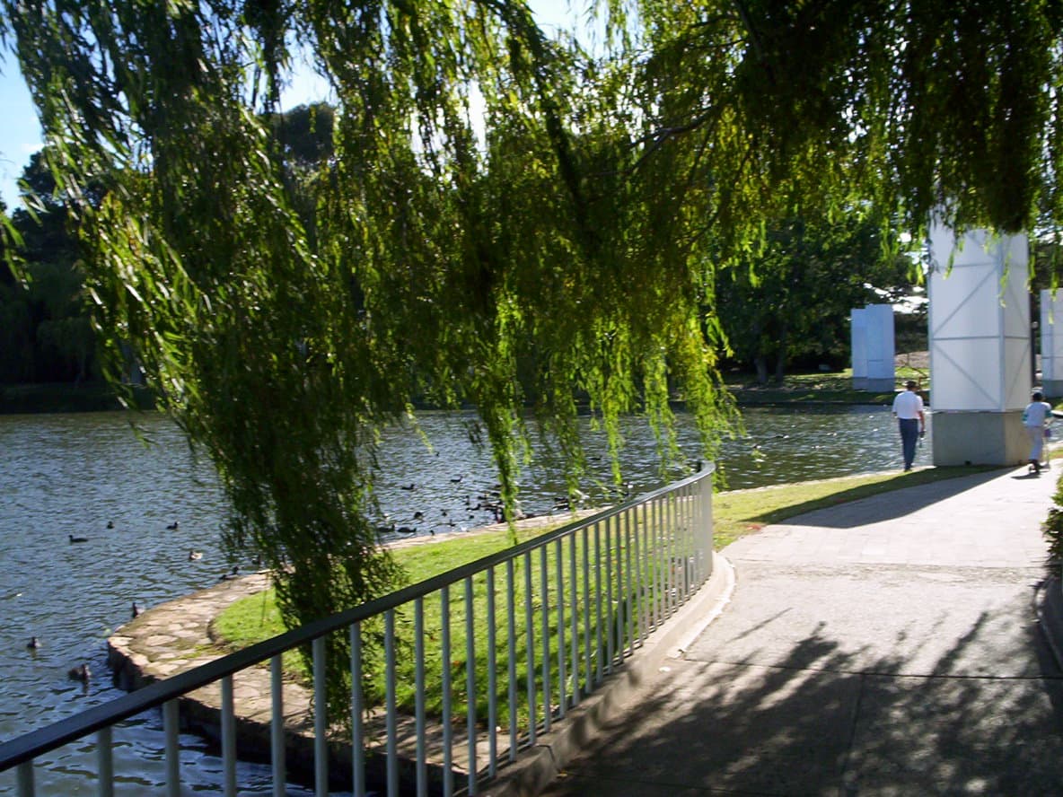
Explore the manicured gardens, public art, and seasonal festivals that make Commonwealth Park a central green space on…