Skip to content
Plan & Tour
DestinationsItinerariesTravel BlogAboutContact
0Sign inPlan a trip
Plan & TourPlan & Tour

Travel guides, destination inspiration and curated itineraries for Canada, the USA and beyond, plus a free tool to plan your own day-by-day trip.

Get travel inspiration

Explore

  • All Destinations
  • Curated Itineraries
  • Travel Blog
  • Plan a Trip

Topics

  • Hiking & Nature
  • Food & Drink
  • City Breaks
  • Budget Travel

Company

  • About Us
  • Contact
  • Privacy Policy
  • Terms of Service

© 2026 Plan & Tour. Built for travellers.

Discover the world, one trip at a time.

Alto de Garajonay: Summit Hike Through La Gomera’s Laurel Forest
  1. Home
  2. Destinations
  3. Santa Cruz de Tenerife Province
  4. Alto de Garajonay: Summit Hike Through La Gomera’s Laurel Forest
Mountain

Alto de Garajonay: Summit Hike Through La Gomera’s Laurel Forest

Climb the highest peak on La Gomera for sweeping island views inside a UNESCO-listed cloud forest.

Santa Cruz de Tenerife ProvinceUpdated 12 November 2026

Why Alto de Garajonay Stands Out

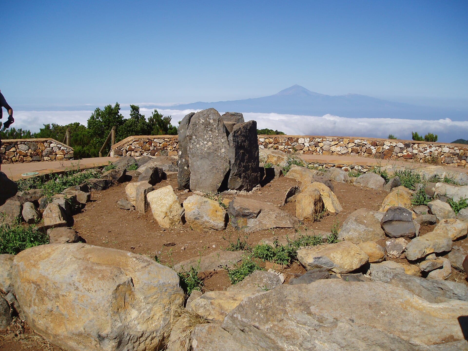
At 1,487 metres, Alto de Garajonay is the roof of La Gomera and the focal point of Garajonay National Park. The summit sits inside one of the best-preserved laurel forests in the Canary Islands, a living relic of prehistoric woodland that once covered southern Europe. On clear days the 360-degree panorama reaches Tenerife’s Teide, El Hierro, and even La Palma. The mountain rewards hikers with cool mist, ancient trees, and a genuine sense of isolation only 30 minutes from the nearest village.

How to Reach the Summit

Most visitors start from the park’s main trailhead at Las Hayas or the visitor centre at Juego de Bolas. A well-marked path climbs steadily through the forest; allow three to four hours for the round trip from the road. Those who prefer less walking can drive the narrow service road to within 800 metres of the top and finish on foot. Buses run from San Sebastián de La Gomera to the park entrance several times daily, though a rental car gives flexibility for early starts.

Best Time to Visit

Spring (March–May) and autumn (September–November) offer the clearest skies and mild temperatures. Summer brings frequent cloud cover that can obscure views, while winter rains make the clay paths slippery. Arrive before 10 a.m. to beat both tour groups and the afternoon mist that often shrouds the ridge.

Trails and What to See

The main route follows the GR-131 long-distance path through dense stands of laurel, tree heath, and giant ferns. Look for the small stone cairns that mark the final ascent; the summit itself is marked by a modest trig point and wind shelter. Photographers should aim for late afternoon when the setting sun lights the western ridges. Birdwatchers may spot Bolle’s pigeon and the endemic laurel pigeon among the canopy.

Practical Planning

  • Carry at least one litre of water per person; no reliable springs exist near the summit.
  • Trail surfaces are uneven volcanic rock and can be muddy after rain—sturdy boots with good grip are essential.
  • Mobile coverage is patchy above the treeline; download an offline map before leaving the visitor centre.

Places Nearby

After descending, continue to the Ermita de Las Nieves chapel for a different angle on the same ridge. The coastal village of Valle Gran Rey lies 40 minutes by road and offers black-sand beaches and fresh seafood. The park’s other highlight, the enchanted forest walk at El Cedro, is reached via a short detour on the way back to San Sebastián.

Visitor tips

  • Check the parku2019s weather station the evening before; sudden fog can reduce visibility to a few metres.
  • Pack a light windproof layer even in summeru2014the summit is often 8u201310 u00b0C cooler than sea level.
  • Start early to avoid the midday tour buses that arrive from the cruise port.

Frequently asked questions

How high is Alto de Garajonay and how long is the hike?+

The summit sits at 1,487 m. The most popular trail from the nearest road takes three to four hours round-trip and covers roughly 8 km with 400 m of elevation gain.

Do I need a guide or special permit?+

No permit is required for the main summit path. A guide is unnecessary if you stay on the marked GR-131 route, but useful for learning about the unique laurel-forest ecology.

What should I wear and bring?+

Sturdy hiking boots, a windproof jacket, water, and a head torch if you plan a dawn start. The forest can be damp even on sunny days.

Is the summit accessible by car?+

A narrow service road reaches within 800 m of the top; the final stretch must be walked. The road is steep and unpaved in placesu2014only confident drivers should attempt it.

Can I combine the hike with other Garajonay trails?+

Yes. The summit sits on the GR-131, which continues south to Valle Gran Rey or north toward El Cedro, allowing multi-day traverses of the park.

Share
Google Maps Apple Maps Directions

Image: Cardenasg · CC BY 2.5 · via Wikimedia Commons

Keep reading

Nearby & related

All stories
P
Santa Cruz de Tenerife Province

Playa de Bajamar: Tenerife’s Rugged Black-Sand Beach and Natural Pools

Find calm volcanic shores, dramatic cliffs, and tide-fed rock pools on Tenerife’s wild northern coast.

12 November 2026
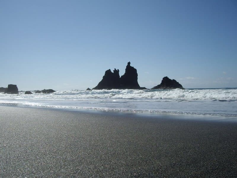
Playa de Benijo: Tenerife’s Rugged Black-Sand Beach in the Anaga Mountains
Santa Cruz de Tenerife Province

Playa de Benijo: Tenerife’s Rugged Black-Sand Beach in the Anaga Mountains

A dramatic pebble cove backed by steep cliffs and Atlantic waves, offering hikers and photographers an untamed slice of…

12 November 2026
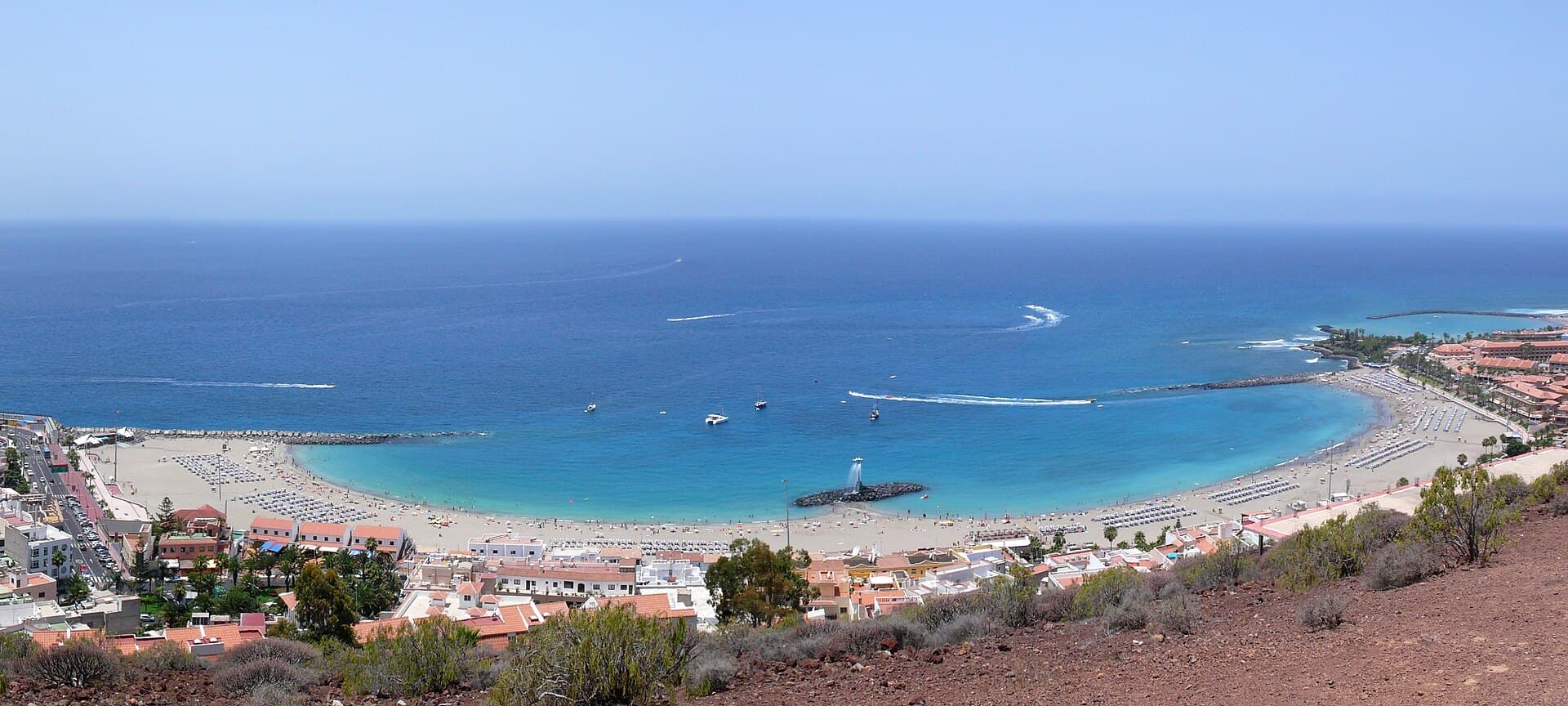
Playa de las Vistas: Tenerife’s Golden-Sand Family Beach in Los Cristianos
Santa Cruz de Tenerife Province

Playa de las Vistas: Tenerife’s Golden-Sand Family Beach in Los Cristianos

A calm, accessible stretch of imported golden sand with a lively promenade, ideal for swimming and relaxed days on…

12 November 2026