Mount Fairweather: Climbing British Columbia’s Highest Peak
A practical guide to reaching and experiencing the remote 4,663-metre summit that crowns the Fairweather Range on the BC–Alaska border.
Why Mount Fairweather Stands Apart
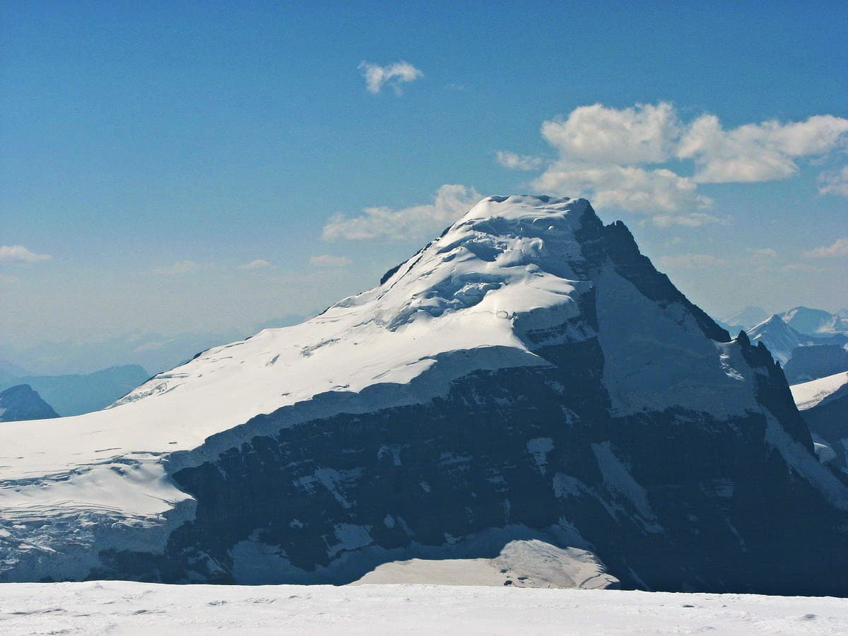
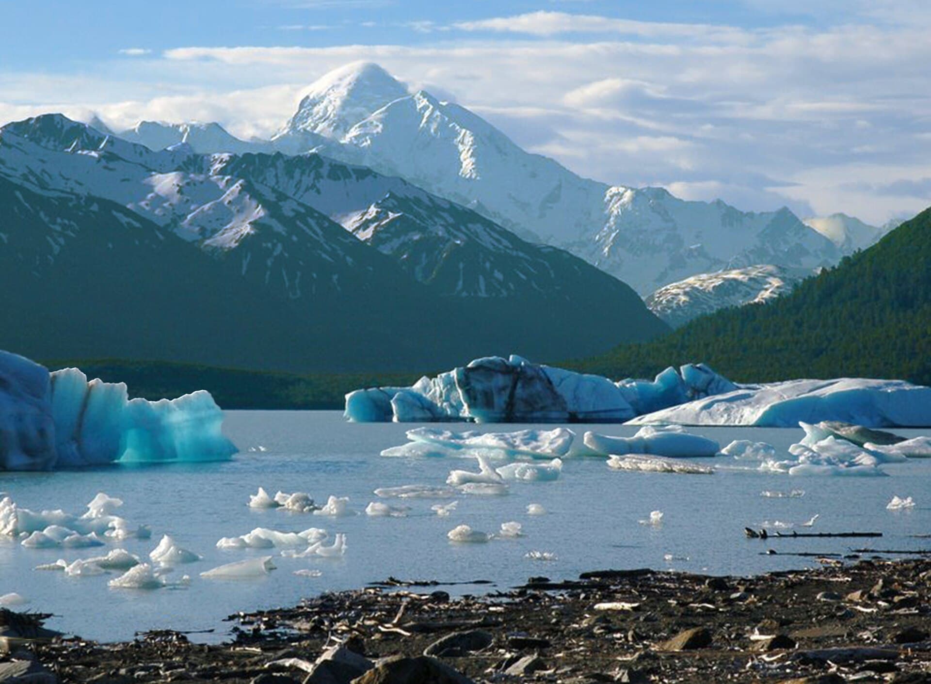
Mount Fairweather rises 4,663 metres above tidewater on the edge of Glacier Bay National Park, making it both the highest point in British Columbia and one of North America’s most dramatic coastal peaks. Its massive icefields feed tidewater glaciers that calve directly into the Pacific, creating a vertical landscape of rock, snow, and sea that few other mountains match.
Getting There
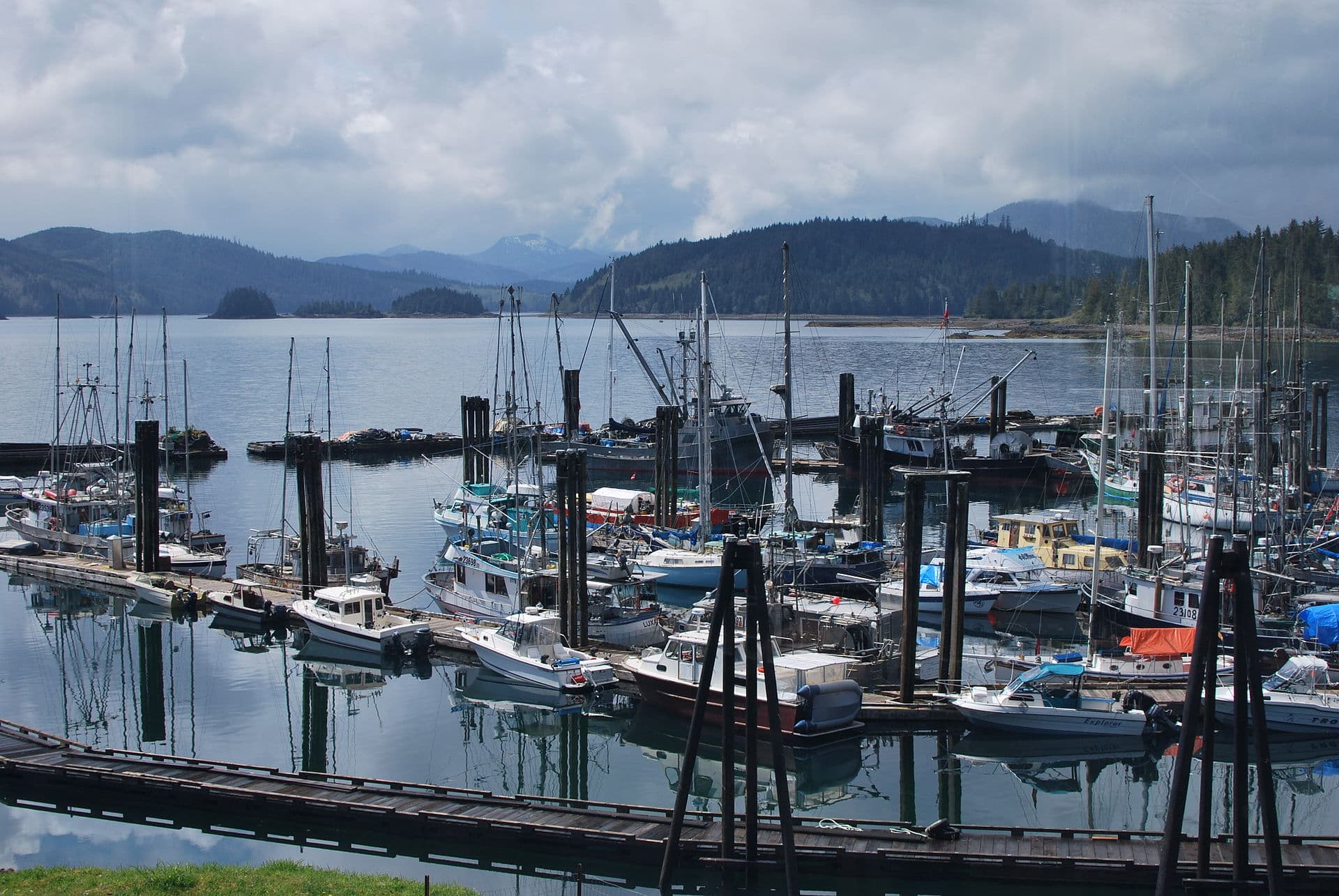
Access begins in the small communities of Haines, Alaska or Gustavus, Alaska. From Haines, helicopter charters fly directly to base camps on the Grand Plateau or near the Fairweather Glacier in two to three hours. Fixed-wing flights from Yakutat land on the Alsek River sandbars, followed by a glacier trek. No roads reach the mountain; every approach requires aircraft or boat plus glacier travel.
Best Time to Visit
The climbing season runs from late May through early September, with July and August offering the longest daylight and most stable weather windows. Even then, storms can pin teams down for days. Winter ascents are possible but demand full expedition logistics and extreme cold tolerance.
Routes and Difficulty
The standard Southeast Ridge route starts from a high camp at roughly 2,400 metres and involves moderate snow and ice climbing with some rock sections up to 5.6. Most parties take five to eight days round-trip from base camp. The mountain has also been climbed via the Northwest Ridge and the more technical Carpé Ridge; all routes require crevasse rescue skills, glacier travel experience, and strong weather judgment.
What to See and Do
Beyond the summit push, visitors can ski the vast Fairweather Glacier, explore serac fields on foot, or paddle the nearby fjords of Glacier Bay. Wildlife viewing includes brown bears on the coastal flats and humpback whales in Icy Strait. Photographers prize the contrast between the peak’s white summit and the dark Pacific waters visible from high on the mountain.
Nearby Destinations
- Glacier Bay National Park offers day cruises and kayak trips among tidewater glaciers.
- Tatshenshini-Alsek Provincial Park protects the wild river corridor used by rafting expeditions.
- The town of Haines provides cultural sites, bear-viewing tours, and the start of the Chilkat River.
Visitor tips
- Book helicopter or fixed-wing support at least six months ahead; weather cancellations are common and backup days are essential.
- Carry a satellite communicator and file a detailed itinerary with Parks Canada or the National Park Service before departure.
- Train specifically for crevasse rescue and multi-day glacier camping; the approach terrain is remote and rescue is slow.
Frequently asked questions
How high is Mount Fairweather?
The summit elevation is 4,663 metres (15,299 feet), making it the highest mountain in British Columbia.
Do I need a guide to climb Mount Fairweather?
Independent parties with proven glacier and mountaineering experience can climb without a guide, but most visitors hire an ACMG or AMGA-certified guide for safety and logistics.
Is Mount Fairweather suitable for first-time climbers?
No. The route demands prior experience on glaciated peaks, crevasse rescue proficiency, and multi-day expedition skills.
What permits are required?
Climbers need a permit from Glacier Bay National Park if approaching from the Alaska side; Canadian approaches require registration with BC Parks or Parks Canada.
Are there non-climbing activities near the mountain?
Yes. Sea kayaking in Glacier Bay, rafting the Tatshenshini River, and bear viewing in Haines are popular alternatives that do not require technical climbing skills.