Why Visit Tuggeranong Creek
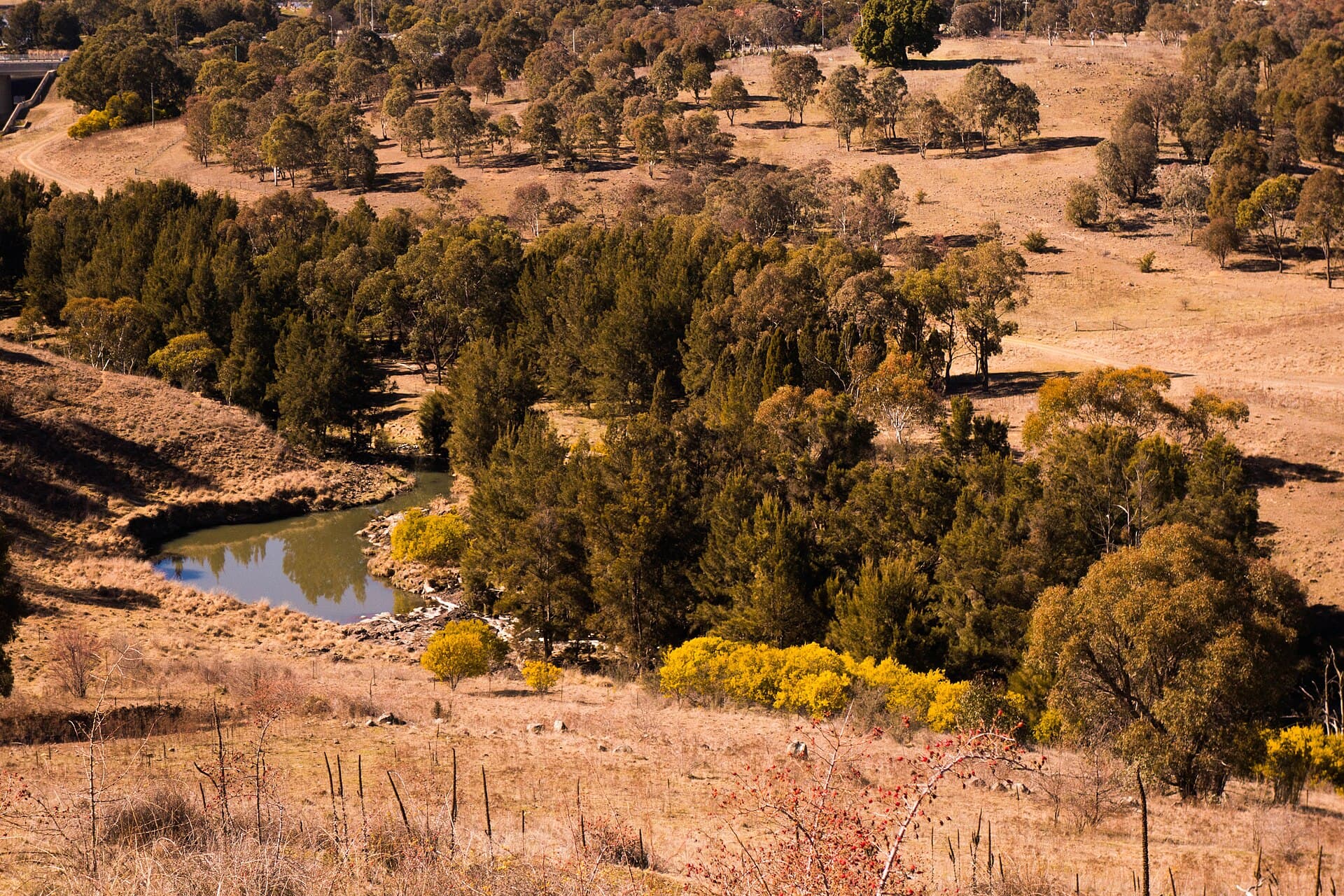
Tuggeranong Creek drains the southern hills of Canberra and winds through the Tuggeranong district before joining the Murrumbidgee River. Its grassy banks and string of small ponds create a linear green corridor that feels surprisingly remote despite sitting inside the capital.
Walking and Cycling Paths
A well-formed shared path runs most of the creek’s length, connecting the suburbs of Isabella Plains, Bonython and Tuggeranong Town Centre. The route is mostly flat and shaded by river red gums, making it suitable for families or anyone seeking a relaxed outing. Side tracks lead to small wetlands where eastern long-necked turtles and several duck species are regularly seen.
Wildlife and Seasonal Interest
Spring brings flowering wattles along the upper reaches and increased bird activity. In autumn the creek banks turn gold with exotic trees planted during Canberra’s early suburban development. Platypus sightings remain rare but have been recorded near the confluence with the Murrumbidgee after heavy rain.
Getting There
Drive south from Canberra’s Civic centre via the Monaro Highway and exit at the Tuggeranong interchange. Several signed car parks sit beside the path network. Cyclists can follow the Centenary Trail from Lake Tuggeranong southward. Public buses stop at Tuggeranong Interchange, a short walk from the creek trail.
Best Time to Visit
Canberra’s shoulder seasons (March–May and September–November) offer mild temperatures and fewer insects. Summer visits are possible early in the morning before heat builds; winter walks are crisp but the paths remain open and uncrowded.
Nearby Attractions
Continue downstream to the Murrumbidgee River for longer bushwalks in the Bullen Range. Lake Tuggeranong lies just north for paddling or picnics. The Tuggeranong Homestead heritage site and the Hyperdome shopping precinct provide convenient stops for food and supplies before or after a creek walk.