Why Tenegüime Stands Out
Tenegüime protects a dramatic ravine carved through ancient volcanic rock on Lanzarote’s northeastern flank. Unlike the crowded Timanfaya craters, this park offers quiet trails that reveal layered lava flows, wind-sculpted basalt, and pockets of hardy Canary Island flora. The landscape tells the story of multiple eruptions that shaped the island, with dramatic drops and panoramic views over the Atlantic.
What to See and Do
Follow the main path that descends into the barranco, where sheer walls display distinct volcanic strata. Short side trails lead to viewpoints overlooking the dry riverbed and distant Famara cliffs. Birdwatchers often spot kestrels and Barbary partridges; in spring, endemic plants such as the Lanzarote spurge add brief color to the black terrain. Photographers favor the late-afternoon light that accentuates the textures of the lava.
Trails and Difficulty
- The central route is a moderate 4 km out-and-back suitable for most walkers.
- More experienced hikers can extend the walk along the rim for wider island views.
- All paths are rocky; good boots are essential.
Getting There
Tenegüime lies between the villages of Mala and Guatiza. The most reliable access is by rental car via the LZ-1 coastal road, turning inland at the signed junction. Limited bus service reaches nearby villages, but a taxi or organized tour is required for the final stretch. Parking is available at the trailhead.
Best Time to Visit
Winter and early spring bring comfortable temperatures and occasional wildflowers. Summer heat and strong trade winds make midday hikes uncomfortable; start early. The park remains open year-round, though heavy rain can make sections slippery.
Nearby Attractions
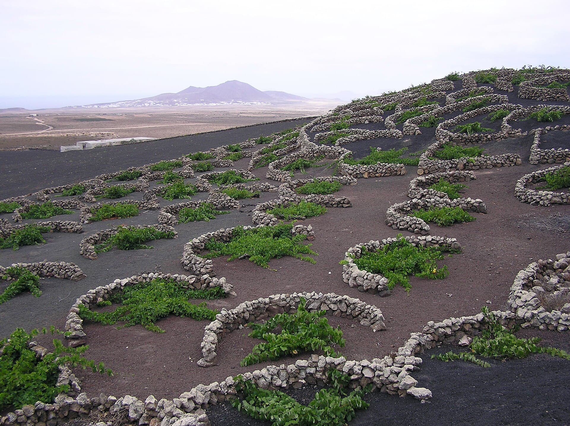
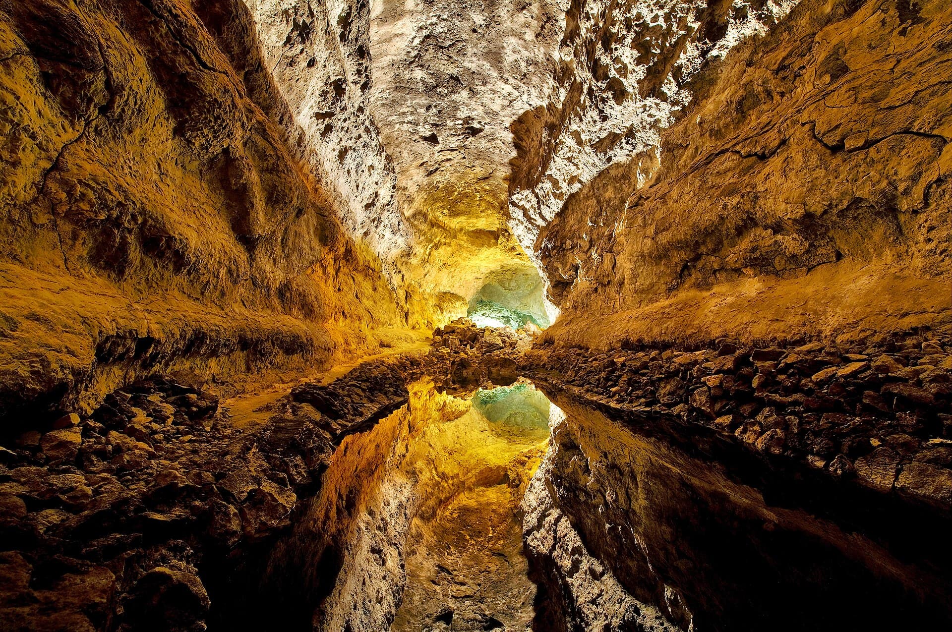
Combine a morning at Tenegüime with the cactus garden at Jardín de Cactus in Guatiza or the lava-tube formations at Jameos del Agua. The white-sand beaches of Costa Teguise lie a short drive south, while the wine region of La Geria offers volcanic-soil vineyards to the west.