
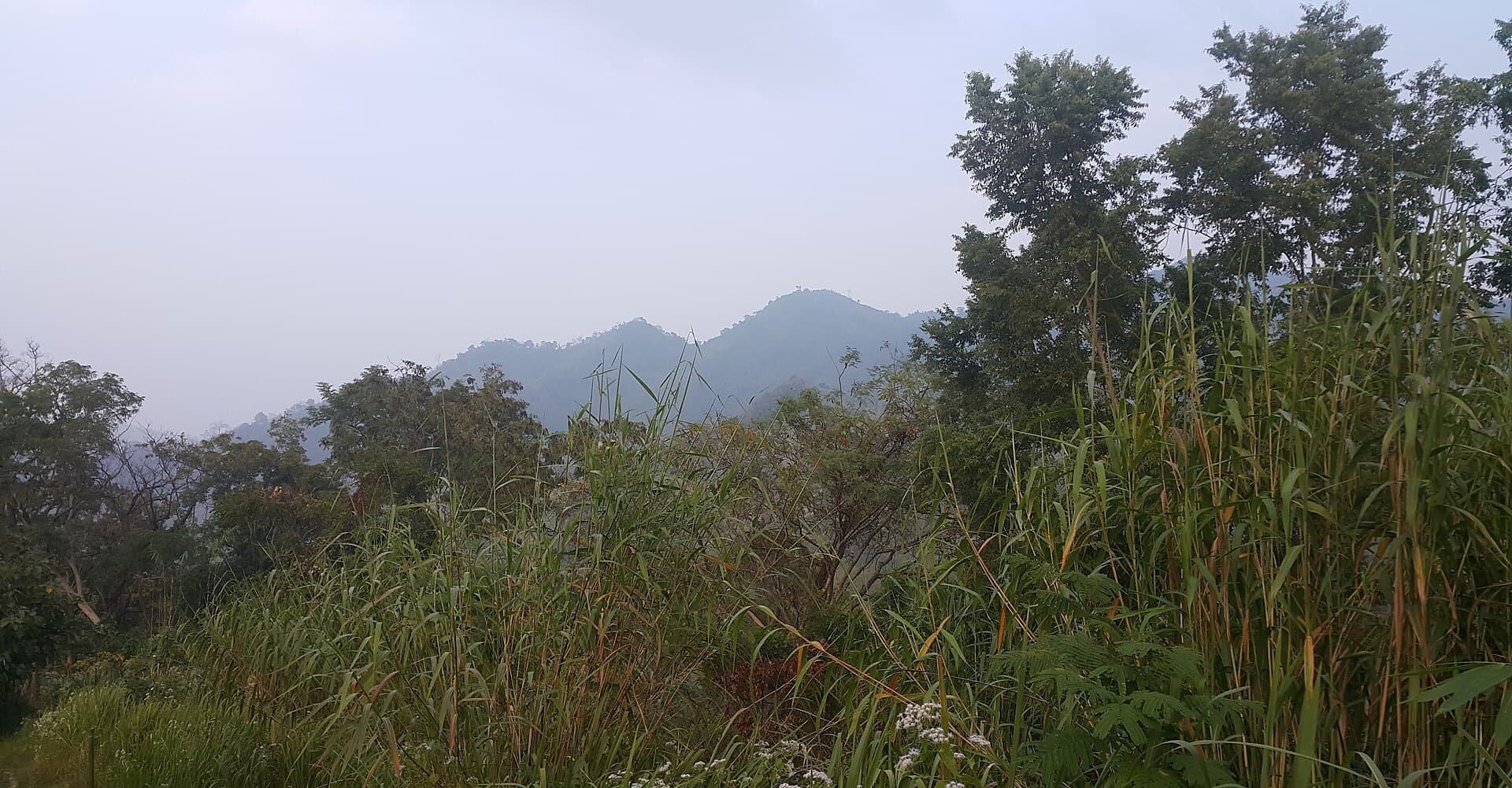
Sippi Arsuang: Trekking the Wild Peaks of Ruma Upazila
A remote mountain in Bangladesh’s Chittagong Hill Tracts offering rugged trails, indigenous villages, and sweeping highland views.
Why Visit Sippi Arsuang
Sippi Arsuang rises sharply above the forested valleys of Ruma Upazila in Bandarban district. Its steep slopes and narrow ridges attract trekkers seeking quieter alternatives to more developed hill stations. The mountain’s isolation preserves pockets of semi-evergreen forest and clearings used by local Marm and Tripura communities for shifting cultivation.
Getting There
Travelers reach Ruma by bus or shared jeep from Bandarban town along the winding Chimbuk road. From Ruma bazaar, local jeeps or motorbikes continue toward the trailheads near the Sippi and Arsuang hamlets. The final approach is on foot; no vehicle tracks reach the upper ridges. Carry sufficient water and food, as settlements become sparse above 600 meters.
Trails and Views
Two main routes ascend the mountain. The southern path follows a stream bed before climbing through bamboo groves to a saddle with wide views toward the Myanmar border ranges. The northern route passes through several small hamlets where visitors can observe traditional bamboo houses and hear local dialects. Both paths converge near the summit plateau, where clear days reveal layered ridges stretching toward the Bay of Bengal lowlands.
Best Time to Visit
November through February offers the driest conditions and coolest temperatures for multi-hour hikes. March and April bring hotter days and the risk of early thunderstorms. The monsoon months of June to September close many trails due to landslides and swollen streams.
Nearby Attractions
After descending, many visitors continue to the Naf River bends or the larger trekking circuit around Boga Lake. Short detours from Ruma lead to small waterfalls and villages still practicing traditional weaving. These sites combine well with an overnight at Sippi Arsuang for a fuller picture of life in the northern hill tracts.
Visitor tips
- Hire a local guide from Ruma or the Sippi hamlets; trails lack signage and cross private cultivation plots.
- Pack lightweight rain protection and sturdy footwear even in the dry season, as leaf litter can hide slippery roots.
- Ask permission before photographing people or entering village compounds to maintain good relations with residents.
Frequently asked questions
Is Sippi Arsuang suitable for beginners?
The routes involve steep, uneven sections and require reasonable fitness; first-time hikers should join an experienced local guide and plan for a full day round trip.
Are permits required to trek here?
Foreign visitors need a travel permit for Bandarban district, obtainable in advance through Chittagong or Dhaka; domestic travelers face fewer formalities but should still register at the Ruma checkpoint.
Where can I stay near Sippi Arsuang?
Basic guesthouses and homestays operate in Ruma bazaar; camping is possible on the mountain with local approval but bring all supplies.
What wildlife might I see?
Birds such as hornbills and barbets are common; small mammals and occasional gibbon calls occur in less disturbed forest patches, though sightings are never guaranteed.
How strenuous is the hike?
The ascent gains roughly 800 meters over 4u20136 km; expect 5u20137 hours of walking depending on pace and stops at villages.