Why Salluyu Stands Out
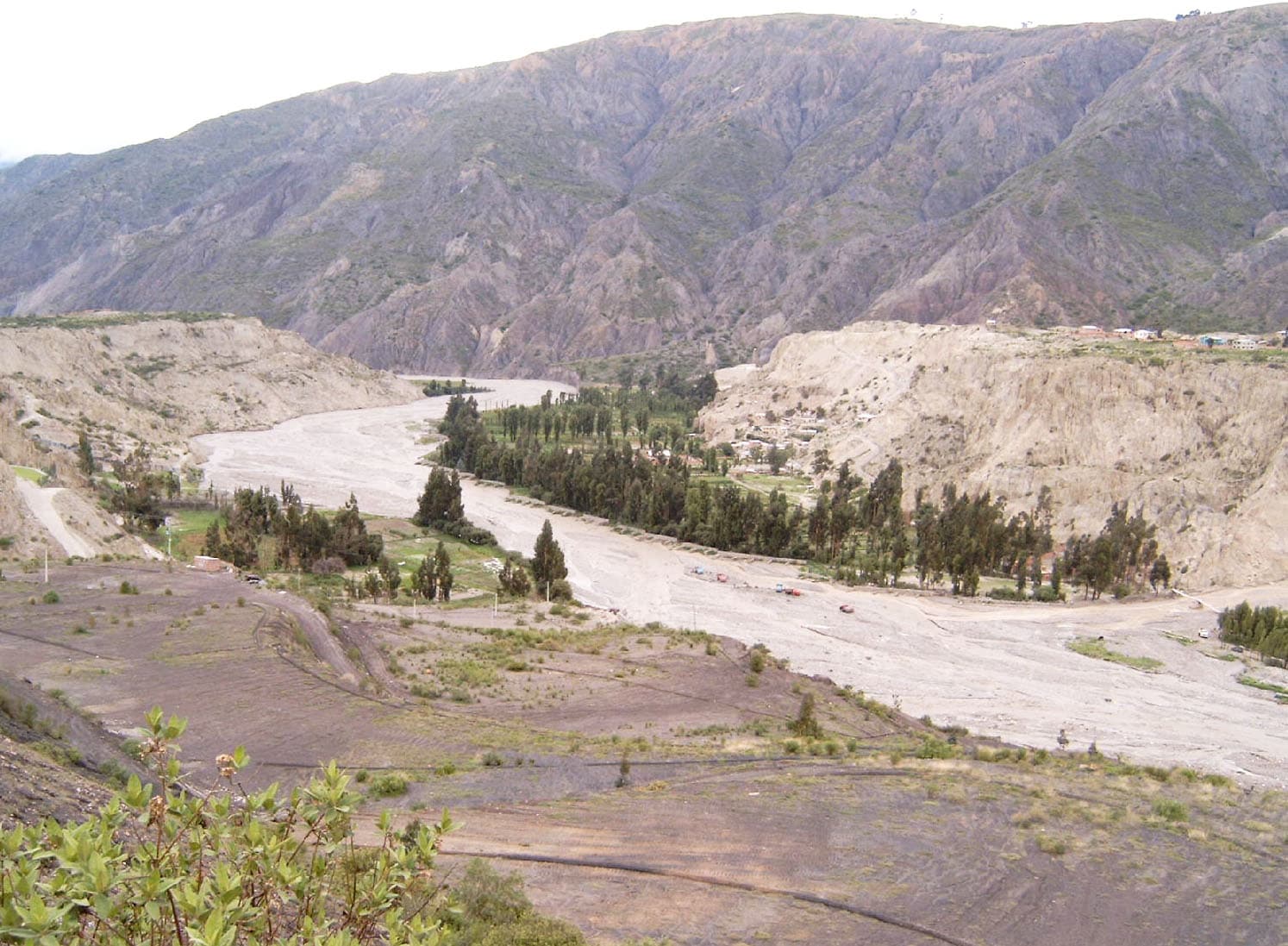
Salluyu rises in the northern reaches of La Paz Department, part of the Cordillera Apolobamba near the Peruvian border. Its rugged slopes and high passes deliver sweeping views of glaciated ridges, alpine lakes, and rolling puna grasslands. The mountain attracts hikers seeking solitude rather than crowded trails, with opportunities to observe vicuñas, Andean foxes, and occasional condors.
Getting There
Most visitors start in La Paz. Buses or shared vans run north to Sorata or Amarete, then continue toward Pelechuco on unpaved roads that wind through high valleys. From Pelechuco, a multi-day trek leads to the base of Salluyu; local guides or muleteers can arrange transport for the final approach. The journey combines public transport with foot travel, so allow at least two full days each way from the capital.
Best Time to Visit
The dry season from May through October provides the most reliable weather for trekking. Clear skies and firm trails prevail, though nights remain cold at altitude. The wet months of December to March bring mud, swollen streams, and reduced visibility, making travel slower and more demanding.
What to See and Do
Day hikes from base camps let travelers circumnavigate lower ridges or ascend to viewpoints overlooking neighboring peaks. Longer routes connect Salluyu with the broader Apolobamba circuit, passing traditional Aymara herding communities. Photographers find striking compositions of jagged horizons and mirror-like tarns. Those equipped for technical climbing may attempt the summit, though most visitors focus on non-technical trekking and acclimatization walks.
Altitude and Preparation
The terrain sits well above 4,500 meters. Spend several days in La Paz or Sorata first to adjust. Carry layers for rapid temperature shifts, a reliable map or GPS, and sufficient water. Hiring a local guide improves safety and supports community economies.
Nearby Attractions
From Salluyu, trekkers can continue toward the Ulla Ulla plateau for vicuña reserves or link with routes heading to the village of Curva. Further afield lie the shores of Lake Titicaca and the colonial streets of Sorata, both reachable by returning through the same transport corridor.