
Keep reading
Nearby & related
Alberta
Old Fort Point: Sweeping Views Over Jasper’s Athabasca Valley
This short but steep hike near Jasper delivers one of the finest 360-degree panoramas in the Canadian Rockies.
18 August 2026
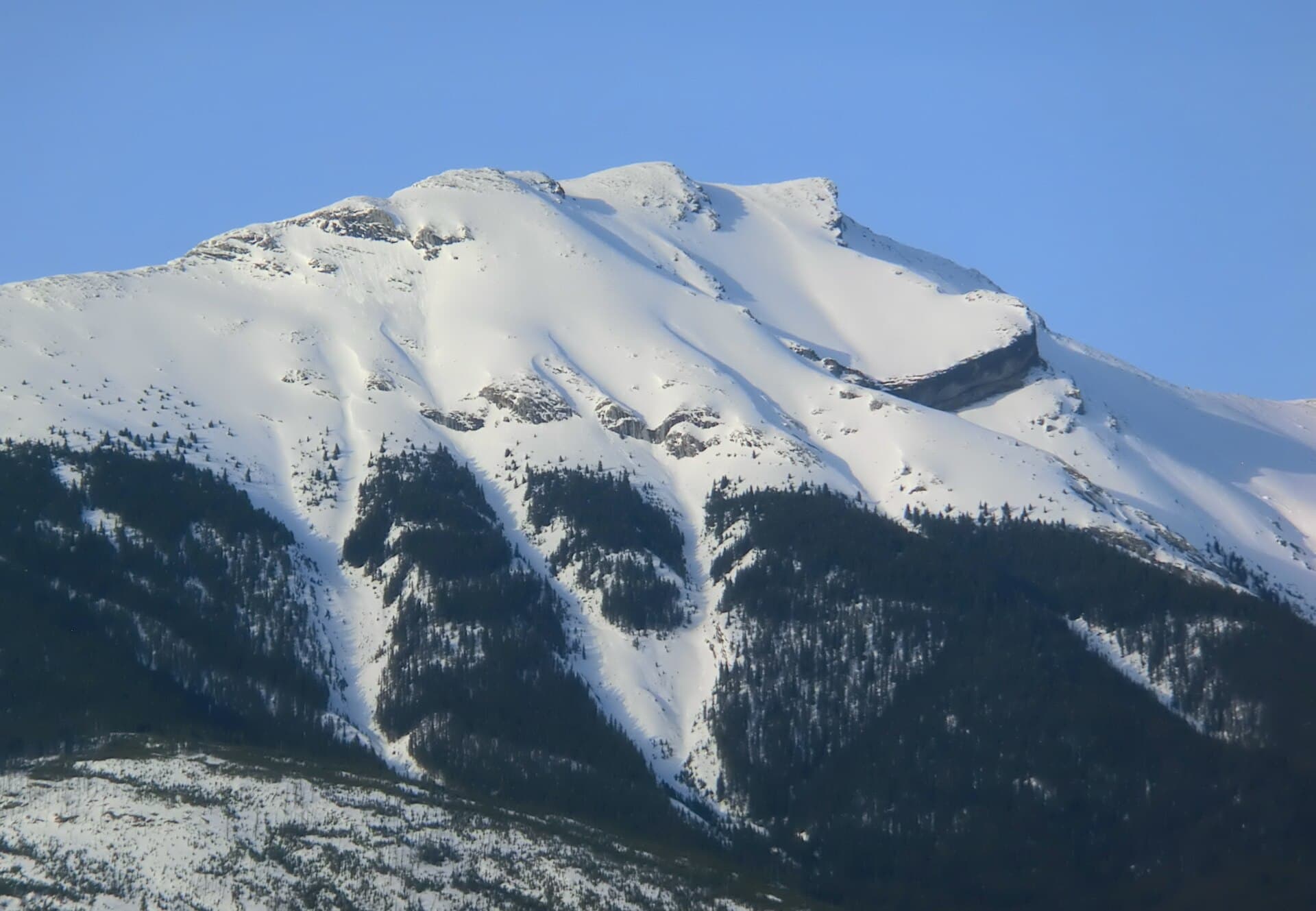
Explore the distinctive summit of Roche Bonhomme for sweeping views over the Athabasca Valley in Alberta’s Canadian Rockies.
Roche Bonhomme rises prominently east of Jasper townsite in Jasper National Park, its rugged profile easily recognized from the valley floor. At 2,495 metres, the peak offers hikers and scramblers a rewarding ascent with minimal crowds compared to more famous Rockies destinations. Its location in the Colin Range provides unobstructed panoramas of the Athabasca River, Pyramid Mountain, and distant icefields on clear days.
Drive Highway 16 east from Jasper for about 5 kilometres, then turn onto the Maligne Lake Road. Continue to the trailhead near the Sixth Bridge picnic area. From there, follow the well-marked path that climbs steadily through lodgepole pine and subalpine forest before emerging onto open slopes. The full round-trip hike covers roughly 12 kilometres with 900 metres of elevation gain and takes most fit hikers six to eight hours.
The upper section involves hands-on rock travel along a broad ridge. No technical gear is required in good conditions, yet the exposure demands sure footing and comfort with heights. Carry a helmet if descending the same route, as loose rock can dislodge from above.
Late June through mid-September offers the most reliable snow-free conditions on the upper slopes. Early summer brings wildflowers in the meadows, while September often delivers clearer skies and fewer insects. Always check current avalanche and trail reports, as spring melt and early autumn storms can create hazardous conditions.
Many visitors pair the Roche Bonhomme hike with a stop at Maligne Canyon or a scenic drive along Maligne Lake Road to Medicine Lake. The town of Jasper itself provides supplies, lodging, and the Jasper Tramway for those seeking easier high-elevation views without the full day commitment of a mountain ascent.
Keep reading
This short but steep hike near Jasper delivers one of the finest 360-degree panoramas in the Canadian Rockies.
The route is rated moderate to strenuous due to sustained elevation gain and a short exposed scramble near the top. It suits experienced day hikers comfortable with rocky terrain.
Novice hikers should consider guided trips or shorter valley walks first, as the upper ridge requires route-finding and some scrambling moves.
A Parks Canada national park pass is required to enter Jasper National Park; day and annual passes are available at park gates and online.
No designated backcountry campsites exist on the mountain itself. The nearest frontcountry camping is at Wabasso or Pocahontas campgrounds along Highway 16.
Black bears, grizzlies, and bighorn sheep frequent the lower slopes. Carry bear spray, make noise on blind corners, and store food properly.
Climb or drive to this historic fire lookout for unmatched views across the Athabasca Valley and surrounding peaks.
Explore the peaceful architecture, spiritual atmosphere, and local heritage of this intimate Edmonton chapel.