Skip to content
Plan & Tour
DestinationsItinerariesTravel BlogAboutContact
0Sign inPlan a trip
Plan & TourPlan & Tour

Travel guides, destination inspiration and curated itineraries for Canada, the USA and beyond, plus a free tool to plan your own day-by-day trip.

Get travel inspiration

Explore

  • All Destinations
  • Curated Itineraries
  • Travel Blog
  • Plan a Trip

Topics

  • Hiking & Nature
  • Food & Drink
  • City Breaks
  • Budget Travel

Company

  • About Us
  • Contact
  • Privacy Policy
  • Terms of Service

© 2026 Plan & Tour. Built for travellers.

Discover the world, one trip at a time.

Puig de Sant Nofre: Hiking Mallorca’s Quiet Summit for Panoramic Views
  1. Home
  2. Destinations
  3. Balearic Islands
  4. Puig de Sant Nofre: Hiking Mallorca’s Quiet Summit for Panoramic Views
Mountain

Puig de Sant Nofre: Hiking Mallorca’s Quiet Summit for Panoramic Views

Tackle the steady climb to Puig de Sant Nofre for sweeping coastal and mountain vistas in Mallorca’s Serra de Llevant.

Balearic IslandsUpdated 21 September 2026

Why Puig de Sant Nofre Stands Out

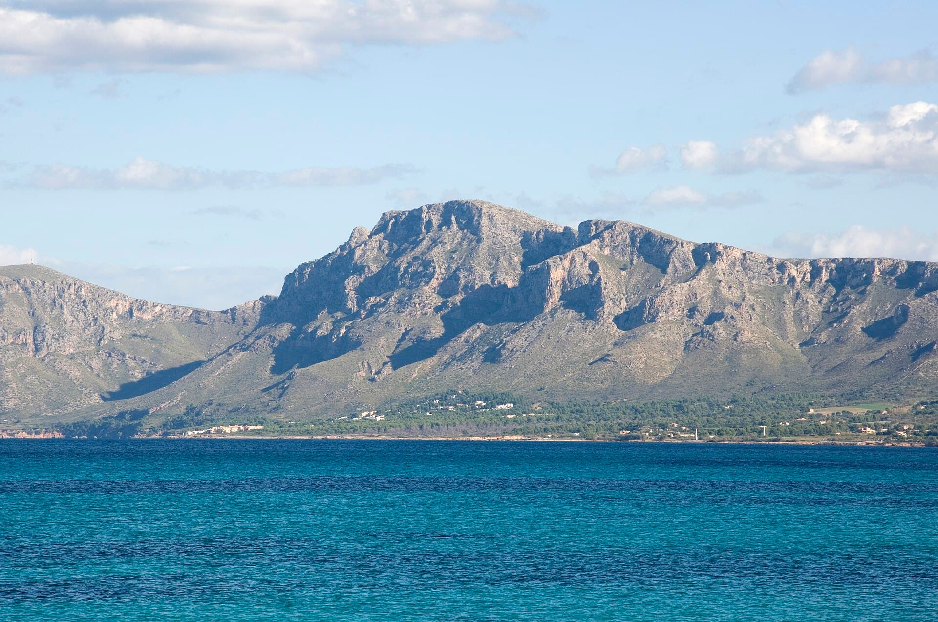
Puig de Sant Nofre rises above the eastern Mallorcan countryside near Artà, offering hikers a relatively uncrowded alternative to the busier Tramuntana peaks. The summit delivers 360-degree views across the Bay of Alcúdia, the rugged Serra de Llevant range, and distant olive groves and almond orchards that define the island’s interior.

Reaching the Trailhead

Most visitors drive from Palma or Cala Millor; the nearest parking lies along the narrow road between Artà and the Ermita de Betlem. Public buses reach Artà, after which a short taxi or additional walk brings you to the start. The route begins on a signed path that quickly enters pine woodland before opening onto rocky slopes.

The Ascent and Summit Experience

The out-and-back hike covers roughly 8 km with 400 m of elevation gain and takes three to four hours for most walkers. The path is clear but stony; sturdy boots and trekking poles help on the steeper sections. At the top you’ll find a simple cross and a small shelter where you can rest while scanning the coastline from Cap Ferrutx to the Formentor peninsula on clear days.

Flora and Fauna Along the Way

Expect wild rosemary, thyme, and occasional orchids in spring, plus sightings of booted eagles and the occasional wild goat. The lower slopes are dotted with carob and olive trees that have been cultivated for centuries.

Best Time to Visit

October to May offers the most comfortable temperatures and reliable visibility. Summer hikes are possible but start at dawn to avoid midday heat; winter days can be crisp with occasional mist that adds dramatic atmosphere to the views.

Combining Your Visit with Nearby Sites

After descending, continue to the nearby Caves of Artà for an underground contrast to the open summit, or drive ten minutes to the sandy coves at Cala Torta. Artà’s weekly market provides a chance to sample local cheese and olives before heading back to the coast.

Visitor tips

  • Carry at least 1.5 litres of water per person; there are no refill points on the trail.
  • Download an offline map such as Wikiloc or Komoot, as mobile signal fades on the upper slopes.
  • Wear long sleeves in spring and autumn to guard against occasional thorny scrub along the path.

Frequently asked questions

How difficult is the hike to Puig de Sant Nofre?+

It is rated moderate; the gradient is steady rather than steep, but the rocky surface requires good balance and proper footwear.

Is the summit marked or does it have facilities?+

A simple metal cross and a small stone windbreak mark the top; there are no toilets, water, or refreshments.

Can I cycle to the summit?+

The lower track is rideable on a mountain bike, but the final rocky section is best walked; most cyclists leave bikes at the treeline.

Are dogs allowed on the trail?+

Yes, dogs are permitted if kept on a lead, especially during hunting season in autumn and winter.

What should I do if the weather turns foggy?+

The path is straightforward on the way up, but descent in low visibility is harder; turn back early and use a GPS track as backup.

Share
Google Maps Apple Maps Directions

Visitor info

Official website

Contact info via Wikidata

Image: Antoni Picornell · CC BY 4.0 · via Wikimedia Commons

Keep reading

Nearby & related

All stories
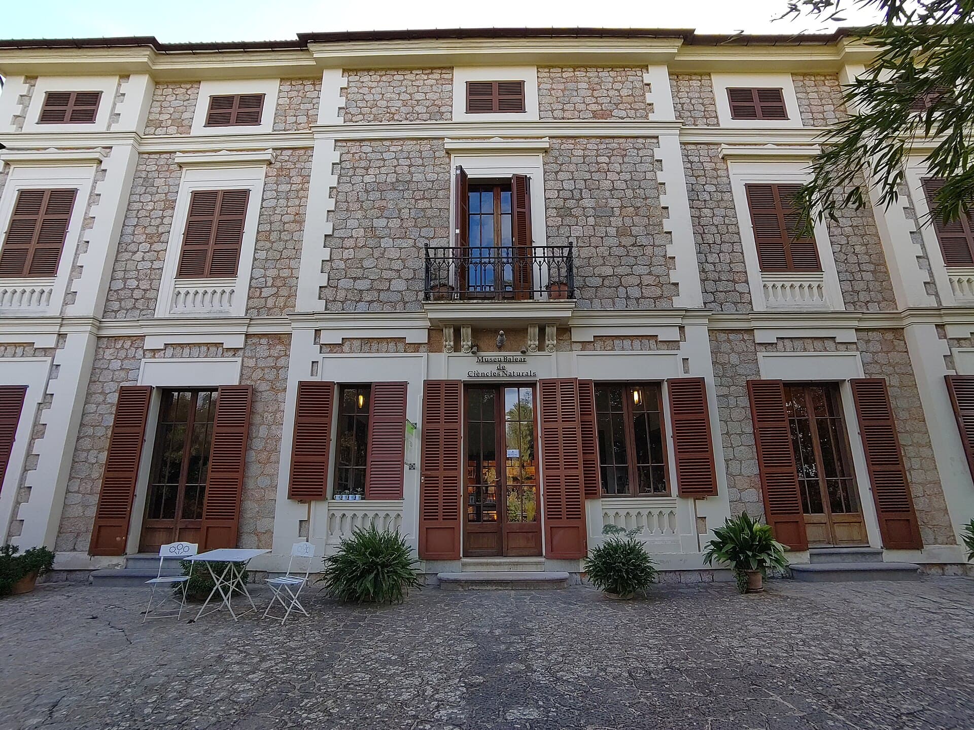
Museu Balear de Ciències Naturals: Mallorca’s Window into Balearic Biodiversity
Balearic Islands

Museu Balear de Ciències Naturals: Mallorca’s Window into Balearic Biodiversity

Explore the islands’ geology, endemic plants, and wildlife at this focused natural-history museum in Sóller.

21 September 2026
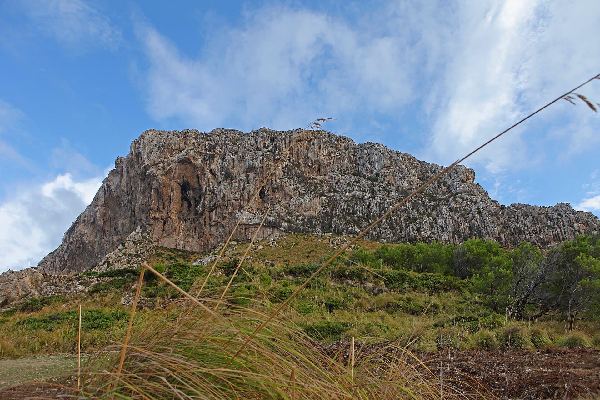
La Talaia Freda: Hiking Mallorca’s Quiet Eastern Summit
Balearic Islands

La Talaia Freda: Hiking Mallorca’s Quiet Eastern Summit

A straightforward ascent to sweeping views across northeastern Mallorca’s coastline and countryside.

21 September 2026
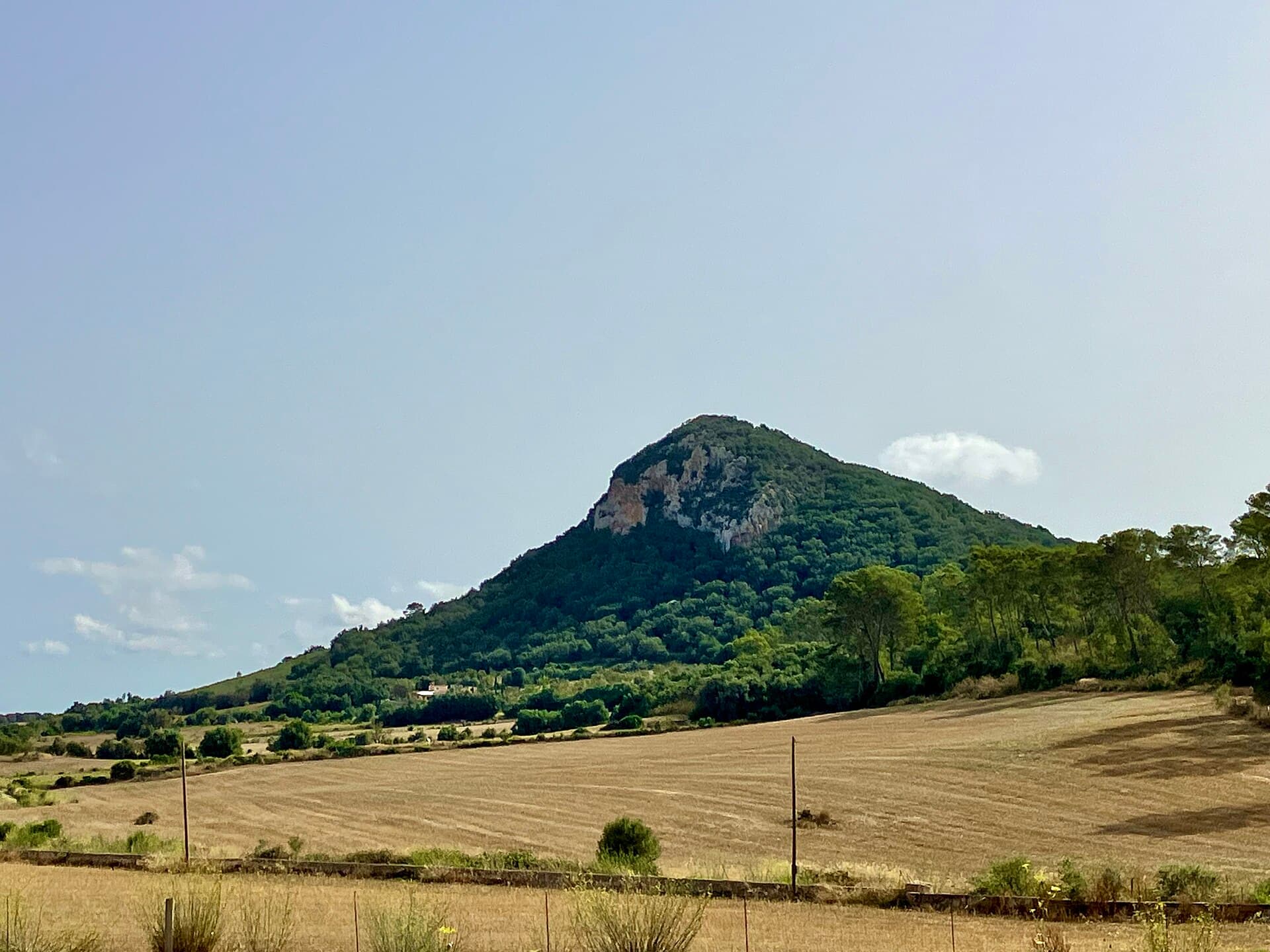
El Fumat: Hiking Menorca’s Dramatic Northern Peak
Balearic Islands

El Fumat: Hiking Menorca’s Dramatic Northern Peak

Scale the rugged summit of El Fumat for sweeping coastal views across Menorca’s wild north.

21 September 2026