
Keep reading
Nearby & related
Canary Islands
Blas Cabrera Felipe Monument: Honoring a Canary Islands Physics Pioneer
Visit the monument to Blas Cabrera Felipe, the influential Spanish physicist born in the Canary Islands, set amid…
15 November 2026
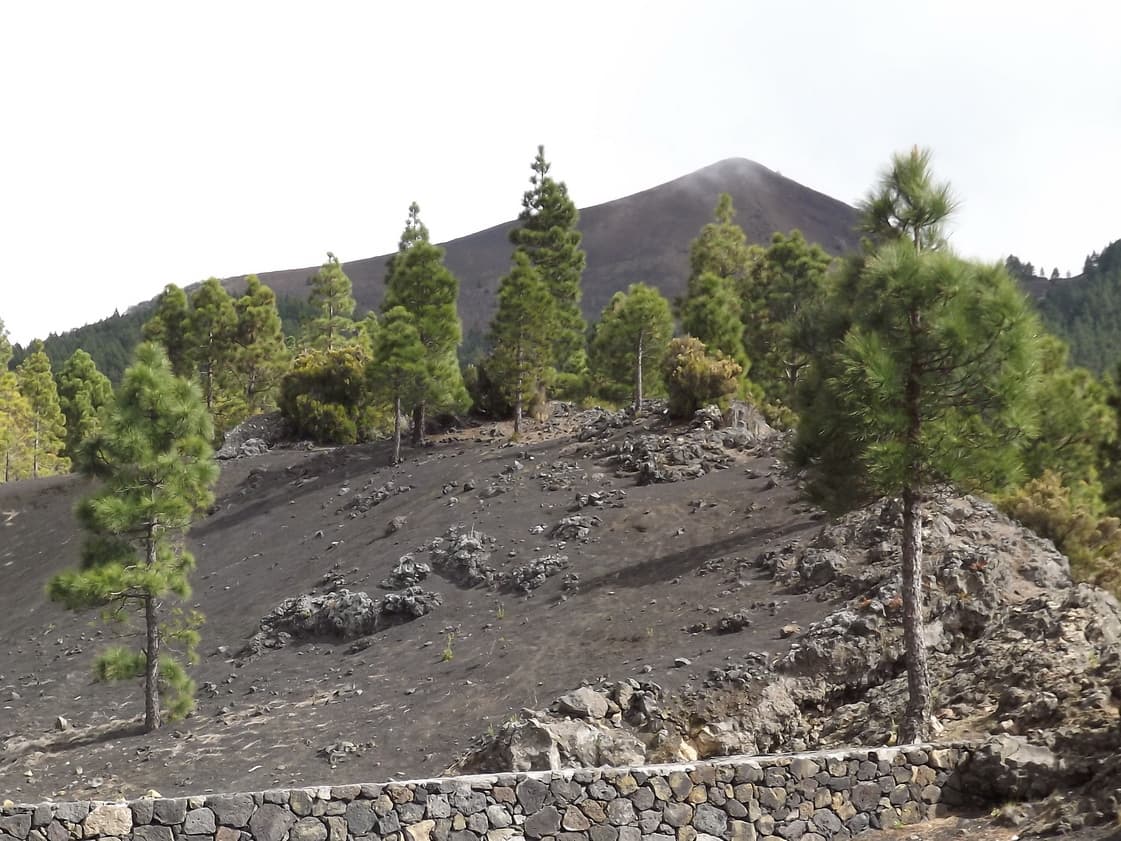
Discover quiet trails, sweeping Atlantic views, and pine-forest solitude on this accessible peak in the Canary Islands.
At 1,781 metres, Pico Birigoyo rises on the western flank of La Palma, offering hikers a quieter alternative to the island’s better-known summits. Its slopes are cloaked in Canary pine and crossed by old forest tracks that open suddenly onto lava fields and sheer barrancos. On clear days the summit rewards visitors with uninterrupted views across the Caldera de Taburiente to the north and the Atlantic horizon to the west.
The mountain lies between El Paso and Los Llanos de Aridane. Most visitors drive to the trailhead at Refugio de la Punta de los Roques via the LP-301 road; a short unpaved track then leads to parking. Those without a car can take the bus to El Paso and connect with local taxis or the occasional shuttle service used by hiking groups. From the trailhead a well-marked path climbs steadily through pine woodland before emerging onto open ridges.
The standard out-and-back hike covers roughly 8 km with 450 m of elevation gain and takes three to four hours for most walkers. The final 300 m to the summit trig point follows a rocky ridge with minimal exposure; sure-footed hikers usually manage it without technical gear.
La Palma’s mild climate allows year-round access, yet spring (March–May) and autumn (September–November) bring the clearest skies and most comfortable temperatures. Winter can deliver snow on the upper slopes, while summer afternoons often see haze or strong trade winds. Early morning starts are advisable to avoid afternoon cloud build-up common on the west side of the island.
After descending, many hikers continue to the Mirador de la Cumbrecita for classic Caldera views or drive the short distance to the lava-formed beaches of Puerto Naos. The easy-to-reach Observatorio del Roque de los Muchachos lies only 20 minutes farther north, offering a striking contrast between scientific installations and raw volcanic terrain.
Keep reading
Visit the monument to Blas Cabrera Felipe, the influential Spanish physicist born in the Canary Islands, set amid…
The trail is moderate for fit walkers. The main challenge is steady elevation gain rather than technical terrain; most people complete the round trip in under four hours.
No permit is required for the standard route. The path lies outside the national park boundaries, though adjacent sections of the Caldera do require advance booking.
Older children accustomed to mountain walking usually manage the route, but the rocky final ridge can be intimidating for younger ones. Families often turn around at the first viewpoint.
A head torch is useful if you start before dawn, and a basic first-aid kit is recommended. Mobile coverage is patchy above the tree line.
Yes. Many visitors hike Birigoyo in the morning then drive to the Cumbrecita or Roque de los Muchachos viewpoints in the afternoon; both sites are within a 30-minute drive.
Experience sweeping Atlantic vistas of La Gomera island from this elevated Tenerife lookout point.
This elevated viewpoint on La Palma offers unobstructed panoramas of volcanic ridges, deep barrancos, and the Atlantic…