
Pico Bejenado: Hiking La Palma’s Caldera Summit
A rewarding ascent through pine forests to sweeping views inside the Caldera de Taburiente National Park.
Why Pico Bejenado Stands Out
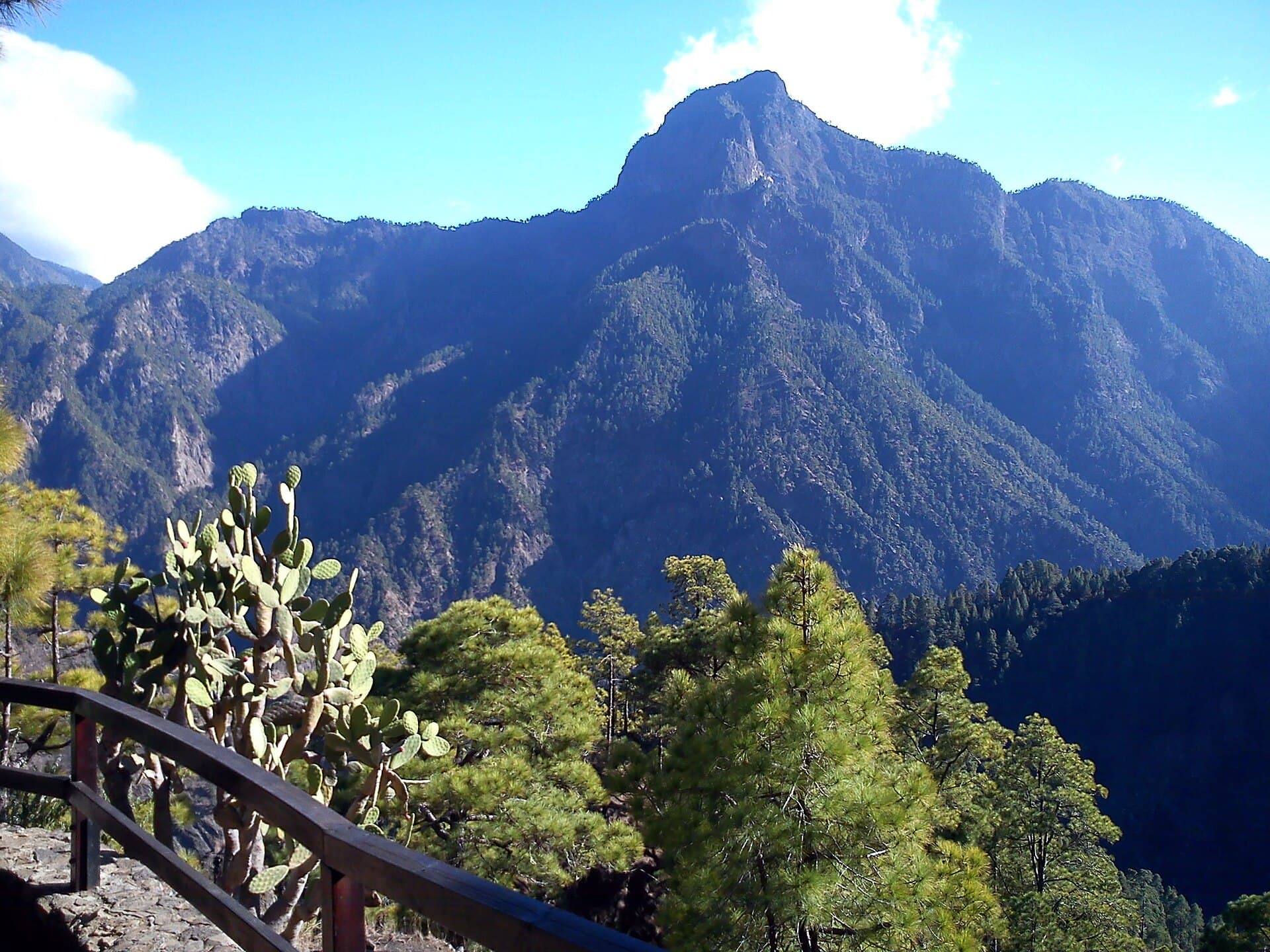
Pico Bejenado rises inside the dramatic rim of the Caldera de Taburiente on La Palma, offering hikers a relatively accessible summit with 360-degree views of the vast volcanic bowl and the surrounding ridges. Unlike the island’s higher peaks, this 1,854-metre mountain sits within protected laurel and Canary pine forest, creating a cool, shaded climb that feels remote yet reachable in a half-day.
Planning the Hike
The Main Trail
The standard route starts at the Llano de los Jables parking area inside the national park and follows a well-marked path through fragrant pine woods. The ascent gains roughly 400 metres over 3.5 kilometres, passing through open clearings where you can spot the sheer walls of the caldera. The final section is steeper and rocky but short, ending at a small summit plateau with unobstructed sightlines toward Roque de los Muchachos and the sea.
Alternative Approaches
Experienced walkers sometimes combine Pico Bejenado with the longer GR-131 trail that circles the caldera rim, creating a full-day loop that returns via the Cumbrecita viewpoint. These routes stay on official paths and avoid private land.
Best Time to Visit
La Palma’s mild climate allows year-round access, but the most comfortable conditions occur from March to June and September to November. Winter months bring occasional rain that can make the upper trail slippery, while midsummer heat builds quickly once you leave the forest shade. Early morning starts are essential in any season to avoid afternoon clouds that often cap the summit.
Getting There and Getting Around
Reach the trailhead by driving the LP-2 road from El Paso toward the national park entrance at La Cumbrecita. A short unpaved spur leads to Llano de los Jables. Public buses run between El Paso and the park visitor centre, but hikers must then cover the final kilometres on foot or by taxi. No shuttle operates to the trailhead itself.
Nearby Attractions
After the hike, continue to the Mirador de la Cumbrecita for classic caldera panoramas or descend into the park’s interior along the Barranco de las Angustias for a riverside walk among giant ferns. The observatory at Roque de los Muchachos lies a short drive north and offers clear-night stargazing when conditions allow.
Visitor tips
- Carry at least two litres of water per person; the pine-forest trail has no reliable springs.
- Wear sturdy boots with good grip for the loose volcanic rock near the summit.
- Download an offline map; mobile coverage drops inside the caldera walls.
- Start before 9 a.m. to finish before clouds build and to secure limited parking at Llano de los Jables.
Frequently asked questions
How difficult is the hike to Pico Bejenado?
The trail is moderate: steady uphill on clear paths with one steeper rocky section near the top. Most fit walkers complete the round trip in three to four hours.
Do I need a permit to hike Pico Bejenado?
No permit is required for the standard trail from Llano de los Jables, but you must register at the national park visitor centre if you plan to camp or enter restricted zones.
Is Pico Bejenado suitable for children?
Older children accustomed to mountain walking can manage the route, but the final rocky scramble and lack of shade near the top make it less ideal for younger kids.
What should I wear and bring?
Layered clothing, a windproof jacket, sturdy boots, sun protection, and plenty of water. The summit can be windy even when the forest below is calm.
Can I see the summit from the road?
Pico Bejenado is visible from several miradors along the caldera rim road, but the full panoramic experience requires hiking to the top.
Are there facilities at the trailhead?
A small parking area and basic information board are the only facilities; the nearest toilets and water are at the La Cumbrecita visitor area a few kilometres away.