
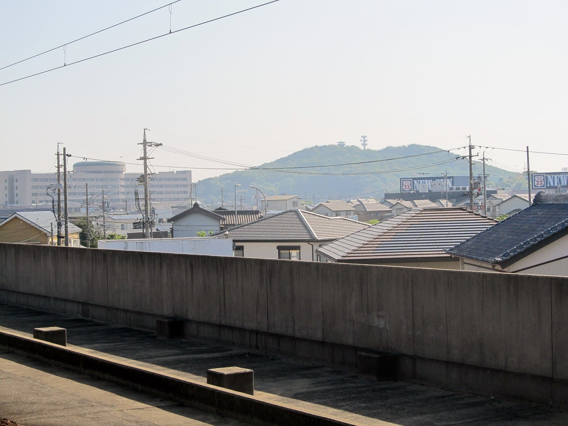
Mount Yatsuomote: Hiking Trails and Panoramic Views in Aichi
Explore the quiet summit paths, seasonal foliage, and local shrines of this modest Aichi mountain.
Why Visit Mount Yatsuomote
Mount Yatsuomote rises gently in Yatsuomote-chō, offering hikers a peaceful escape from nearby urban centers. Its moderate elevation provides sweeping views across the Mikawa Plain toward the Pacific and distant ranges on clear days. The mountain remains relatively uncrowded, making it ideal for those seeking a relaxed half-day outing rather than a strenuous climb.
Trails and What to See
Several well-marked paths start from trailheads near residential areas. The main route winds through mixed forest of cedar, maple, and oak before reaching a small shrine near the summit. Along the way, hikers pass seasonal wildflowers in spring and vivid red and gold foliage in autumn. The summit itself features an open clearing with benches and a simple observation point. Birdwatchers often spot woodpeckers and warblers in the canopy.
Best Time to Visit
Late March through early May brings fresh greenery and occasional cherry blossoms on lower slopes. October and November showcase peak autumn colors. Summer hikes are possible but humid; winter visits require caution after snowfall, though the mountain rarely sees deep accumulation. Weekday mornings are the quietest.
Getting There
Reach the area via the Meitetsu railway line to nearby stations such as Shin-Toyohashi or Mikawa Tahara, followed by a local bus or short taxi ride to trailhead parking. From central Nagoya the journey takes roughly ninety minutes by train and bus. Limited parking exists near the lower trail entrances; arrive early on weekends.
Nearby Attractions
After descending, visitors often continue to the historic sites of Tahara or the coastal scenery of Cape Irago. The region also offers fresh seafood markets and small onsen facilities for post-hike relaxation.
Visitor tips
- Wear sturdy trail shoes; paths can be slippery after rain.
- Carry water and a light snacku2014facilities on the mountain are minimal.
- Check local weather forecasts, as fog can reduce visibility at the summit.
- Respect shrine etiquette and stay on marked trails to protect vegetation.
Frequently asked questions
How difficult is the hike up Mount Yatsuomote?
The main trails are moderate and suitable for most walkers with average fitness; allow two to three hours round-trip.
Are there facilities at the summit?
Only a small shrine and basic benches; no shops or restrooms are available at the top.
Can children hike Mount Yatsuomote?
Yes, the gentler routes work well for older children accompanied by adults, though younger kids may tire on steeper sections.
Is Mount Yatsuomote accessible in winter?
The mountain stays open year-round, but trails may be icy; micro-spikes or careful footing are recommended after cold snaps.
Are dogs allowed on the trails?
Leashed dogs are generally permitted, but owners must clean up after them and keep pets away from the shrine area.