
Skip to content
Plan & Tour
DestinationsItinerariesTravel BlogAboutContact
0Sign inPlan a trip
Plan & TourPlan & Tour

Travel guides, destination inspiration and curated itineraries for Canada, the USA and beyond, plus a free tool to plan your own day-by-day trip.

Get travel inspiration

Explore

  • All Destinations
  • Curated Itineraries
  • Travel Blog
  • Plan a Trip

Topics

  • Hiking & Nature
  • Food & Drink
  • City Breaks
  • Budget Travel

Company

  • About Us
  • Contact
  • Privacy Policy
  • Terms of Service

© 2026 Plan & Tour. Built for travellers.

Discover the world, one trip at a time.

Mount Sangane: Hiking Aichi’s Quiet Summit Trails
  1. Home
  2. Destinations
  3. Aichi Prefecture
  4. Mount Sangane: Hiking Aichi’s Quiet Summit Trails
Mountain

Mount Sangane: Hiking Aichi’s Quiet Summit Trails

Explore the forested paths, seasonal blooms, and sweeping views of this accessible Aichi mountain.

Aichi PrefectureUpdated 13 August 2026

Why Visit Mount Sangane

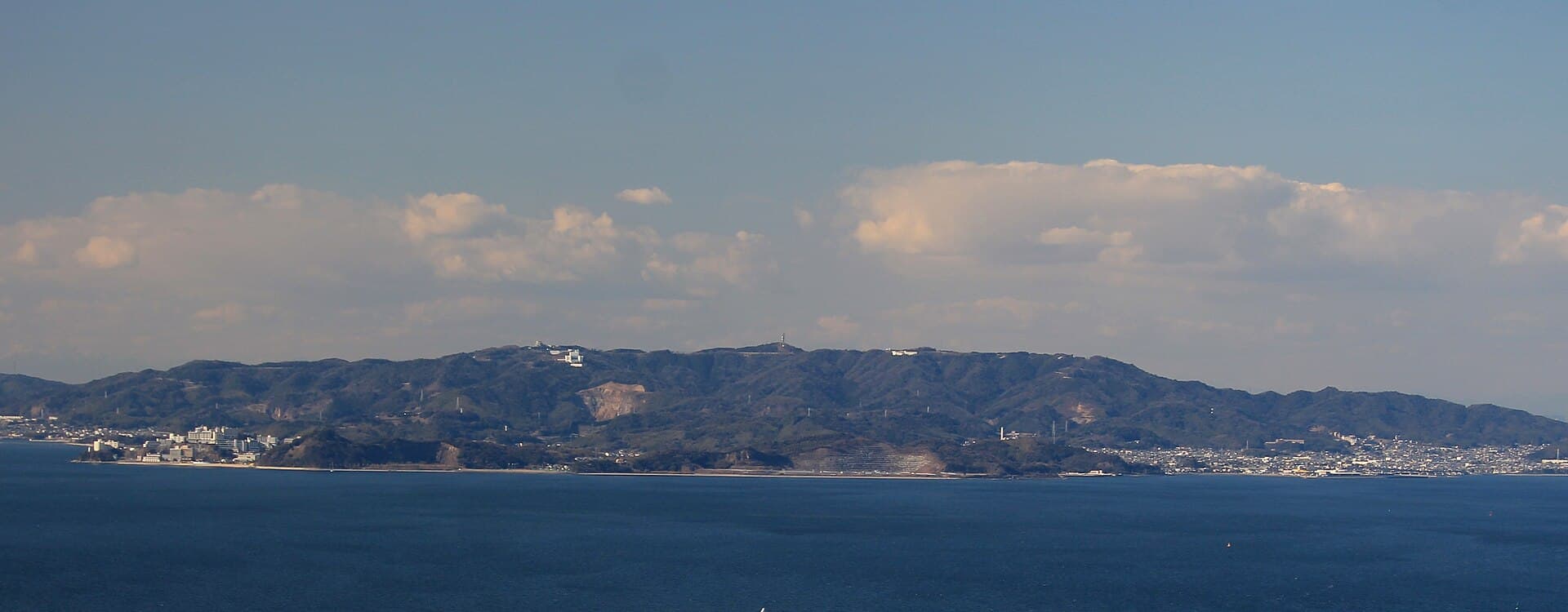
Mount Sangane rises gently above the Mikawa region of Aichi Prefecture, offering hikers a peaceful escape into mixed forests of beech and cedar. The mountain’s moderate elevation delivers broad vistas toward the Pacific coast and surrounding hills without requiring advanced mountaineering skills. Its trails remain relatively uncrowded even on weekends, making it ideal for those seeking quiet nature time near Nagoya.

Hiking Trails and What to See

Well-marked paths begin at lower trailheads and wind upward through shaded woodlands before opening onto grassy ridges. Spring visitors encounter early wildflowers and fresh greenery, while autumn brings vivid maple and ginkgo foliage. On clear days the summit provides sightlines toward distant peaks and the coastline. Birdwatchers often spot woodpeckers and seasonal migrants along the way.

Recommended Routes

  • The main ridge trail offers steady climbs with several rest spots and viewpoints.
  • Shorter loops suit families or those with limited time.
  • Longer traverses connect to neighboring ridges for a full-day outing.

Best Time to Visit

Late March through early May showcases fresh foliage and comfortable temperatures. October and November bring peak autumn color. Summer hikes are possible but can be humid; winter visits require ice traction on higher sections. Avoid rainy seasons when paths become slippery.

Getting There

Reach the mountain by train to nearby stations on the Meitetsu or JR lines, followed by local bus or taxi to trailheads. Drivers can use parking areas at the base. From central Nagoya the journey typically takes under two hours by public transport or car, allowing easy day trips.

Nearby Attractions

Combine a hike with visits to the scenic Lake Hamana area or the historic town of Shinshiro. Coastal drives lead to beaches and seafood markets, while inland roads connect to other Aichi mountains for multi-day exploration. The region’s hot-spring inns provide relaxing post-hike soaks.

Visitor tips

  • Wear sturdy shoes with good grip, as trails can be rocky or muddy after rain.
  • Carry plenty of water and a light snack; few facilities exist above the trailheads.
  • Check the weather forecast the morning of your hike, especially during typhoon season.
  • Start early to enjoy cooler temperatures and avoid afternoon crowds on popular paths.

Frequently asked questions

How difficult is the hike up Mount Sangane?+

Most routes are rated moderate, suitable for fit beginners with steady elevation gain over well-maintained trails.

Is Mount Sangane suitable for children or older hikers?+

Shorter loops near the base work well for families; the full summit requires good stamina and proper footwear.

Are there toilets or shelters on the mountain?+

Basic facilities exist at main trailheads; carry necessities for longer hikes as amenities are limited higher up.

What should I bring for a day hike?+

Water, snacks, a map or GPS app, rain jacket, and sun protection are essential year-round.

Can I camp on Mount Sangane?+

Camping is not permitted on the summit; overnight stays are available at nearby inns or campgrounds at the base.

Share
Google Maps Apple Maps Directions

Image: Alpsdake · CC BY-SA 4.0 · via Wikimedia Commons

Keep reading

Nearby & related

All stories
M
Aichi Prefecture

Morizo & Kikkoro Statue: Aichi’s Enduring World Expo Mascots

Discover the whimsical Morizo and Kikkoro statues in Aichi Prefecture, lasting symbols of the 2005 Expo’s celebration of…

19 August 2026
預
Aichi Prefecture

預り渕ポットホール: Japan’s Dramatic River-Carved Pothole Viewpoint in Aichi

Stand above the massive swirling pothole formed by centuries of river erosion in the mountains of Aichi Prefecture.

19 August 2026
H
Aichi Prefecture

Hassoyama Panorama Observatory: Sweeping Views Across Aichi’s Countryside

Climb to this hilltop viewpoint in Aichi Prefecture for uninterrupted panoramas of mountains, valleys, and distant city…

19 August 2026