
Mount Kupe: Trekking Cameroon’s Volcanic Rainforest Sanctuary
Explore the endemic-rich trails and summit views of Mount Kupe in western Cameroon’s highlands.
Why Mount Kupe Stands Out
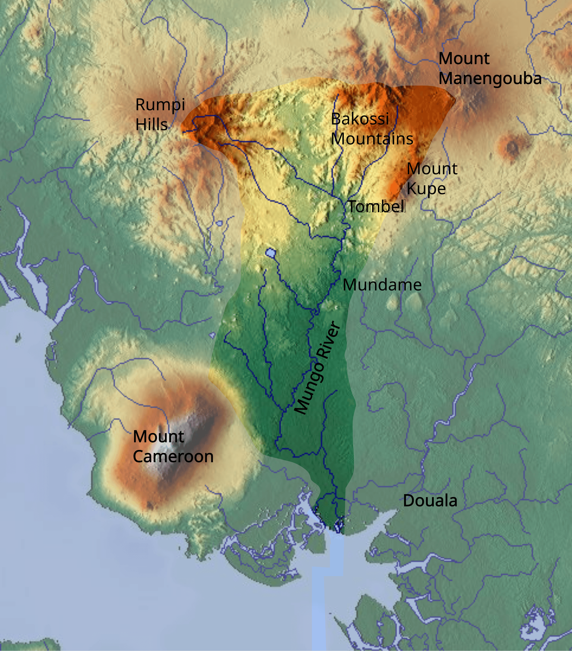
Mount Kupe rises as an isolated volcanic peak within the Cameroon Volcanic Line, cloaked in dense montane forest that shelters species found nowhere else. Birders seek the Mount Kupe bushshrike and grey-necked picathartes, while primate watchers may glimpse Preuss’s monkey or drill troops. The mountain’s steep slopes and crater rim deliver panoramic views over the surrounding plains and distant peaks of the Koupé-Manengouba range.
Getting There
Most travelers reach the mountain from Douala or Yaoundé by road. Shared taxis and minibuses run to Bangem or Tombel; from either town, local moto-taxis cover the final stretch to trailheads near the villages of Muebah or Nyasoso. The journey from Douala takes roughly four to six hours depending on road conditions and vehicle type. Four-wheel-drive vehicles are advisable during the wetter months when tracks become muddy.
Best Time to Visit
The drier months from November through February offer the clearest trails and best visibility for summit hikes. Rainfall remains possible year-round on the upper slopes, so pack quick-dry layers and waterproof covers regardless of season. Avoid major holidays when local transport can be crowded.
Things to Do
- Guided day hikes to the 2,064-metre summit, passing through different forest zones rich in orchids and epiphytes.
- Early-morning birding walks near the forest edge where the endemic bushshrike calls at dawn.
- Community-led cultural visits in nearby villages to learn about Bakossi traditions and forest stewardship.
- Overnight camping on the crater rim for sunrise views across the Manengouba caldera.
Nearby Attractions
Combine a Kupe trek with a visit to Lake Manengouba’s twin crater lakes, reachable by a short drive or longer hike from Bangem. The twin lakes sit at higher elevation and offer cooler temperatures and different bird species. Further afield, the town of Kumba provides markets and transport links back to the coast.
Visitor tips
- Hire a registered local guide through village associations for route safety and wildlife spotting expertise.
- Carry at least three litres of water per person and energy snacks, as no reliable sources exist above the lower forest.
- Respect village protocols by requesting permission before photographing people or entering sacred forest groves.
Frequently asked questions
How difficult is the hike to the summit?
The trail is steep and requires good fitness; most fit hikers complete the round trip in six to eight hours with a guide.
Are permits required to climb Mount Kupe?
No national park entry fee applies, but a small community fee paid to the local guide association covers trail access and conservation support.
What wildlife might I see?
Expect forest birds such as the Mount Kupe bushshrike, turacos, and hornbills; primates including Preussu2019s monkey are possible with quiet hiking.
Is camping allowed on the mountain?
Overnight camping is permitted on the crater rim with prior arrangement through village guides who supply basic facilities.
Can I visit without a guide?
Independent hiking is discouraged due to unmarked trails and the risk of getting lost; local guides also provide valuable ecological context.