
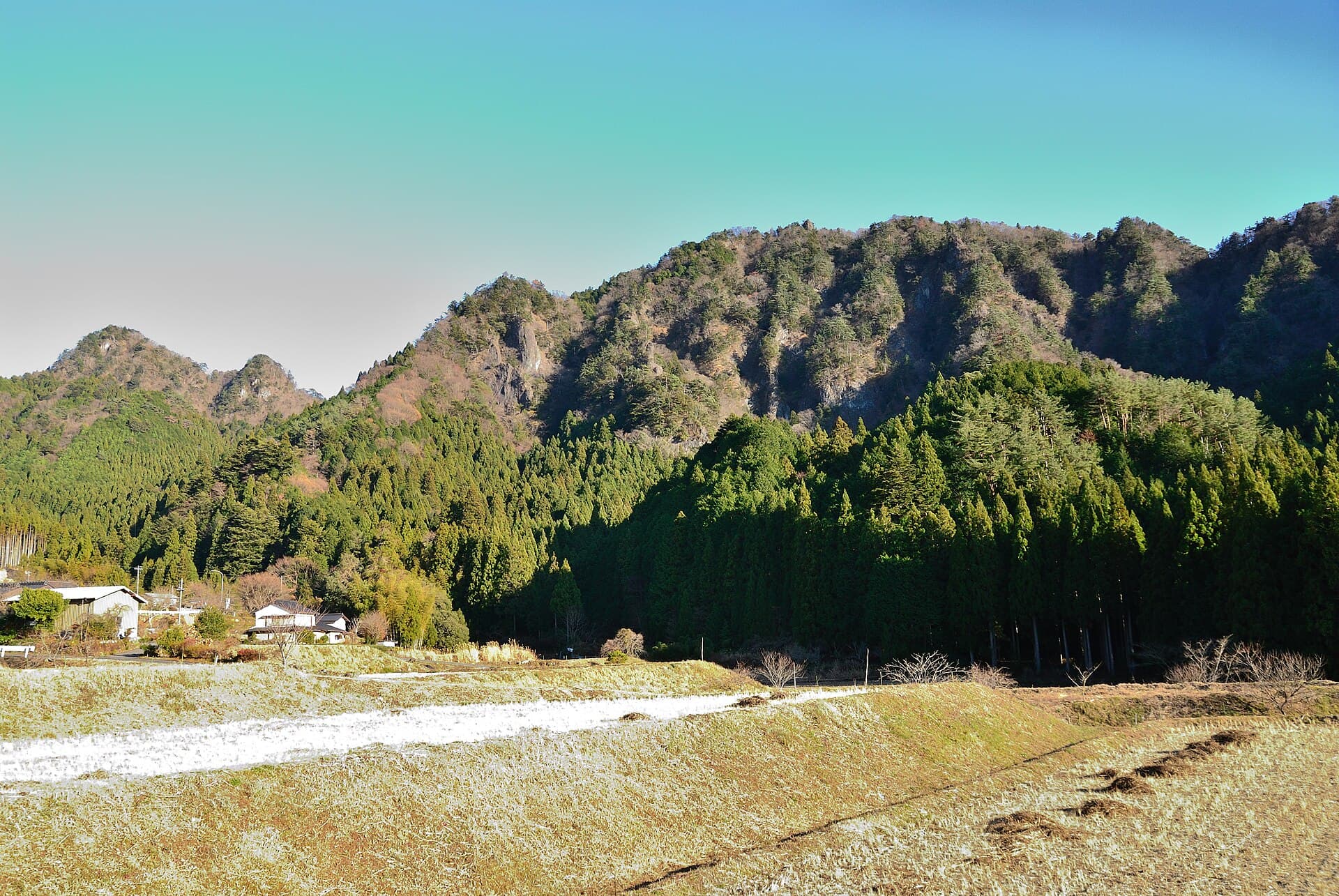
Mount Iwakoya: Hiking the Quiet Forests of Shitara
Experience peaceful trails, seasonal foliage, and rural Aichi scenery on this lesser-known peak near Shitara.
Why Visit Mount Iwakoya
Mount Iwakoya rises gently above the forested hills of Shitara in eastern Aichi Prefecture, offering hikers a tranquil escape from crowded urban trails. Its modest elevation and well-marked paths make it ideal for those seeking half-day outings amid cedar and broadleaf woods rather than extreme challenges. The mountain rewards visitors with filtered sunlight through the canopy and occasional clearings that reveal distant ridges of the Tenryu River valley.
Trails and What to See
The main route begins near the base in Shitara and ascends steadily through mixed forest. Expect a steady climb with occasional switchbacks that pass small shrines and moss-covered rocks. In spring, early wildflowers appear along the path; in autumn the maple and beech leaves create a vivid canopy. Summit views are limited but rewarding on clear days, showing layered mountains to the east and the rural patchwork of Aichi countryside below. Wildlife sightings may include Japanese macaques or woodpeckers, though encounters remain infrequent.
Best Time to Visit
October and November bring comfortable temperatures and colorful foliage without summer humidity. Late April to early May offers fresh greenery and fewer insects. Avoid peak summer heat and winter snow on upper slopes unless equipped for slippery conditions. Weekdays are quieter than weekends when local hikers arrive.
Getting There
Reach Shitara by train to Hon-Nagashino Station followed by local bus or taxi to trailheads. Many visitors drive via Route 151 from Toyohashi or Nagoya, parking at designated lots near the mountain base. The journey from central Nagoya takes roughly two hours by car, allowing easy day trips. Once on site, follow clear signage for the Iwakoya trail system.
Nearby Attractions
Combine a visit with the scenic Tenryu River gorges or the historic village areas around Shinshiro. Hot-spring facilities in the broader Shitara region provide relaxing post-hike soaks, while local soba shops serve simple regional fare. Further afield, the larger peaks of the southern Japanese Alps lie within a half-day drive for those extending their stay.
Visitor tips
- Carry plenty of water and wear sturdy shoes with good grip, as trails can be damp under the tree cover year-round.
- Check weather forecasts before heading out; mountain conditions in Aichi can change quickly even when the valley remains clear.
- Respect the quiet rural setting by staying on marked paths and packing out all trash to preserve the forest environment.
Frequently asked questions
How long does the hike to the summit take?
Most hikers complete the round-trip in three to four hours, depending on pace and stops for photos or rest.
Is Mount Iwakoya suitable for beginners?
Yes, the trail features moderate elevation gain and is well suited to those with basic fitness, though children and older adults should take it slowly.
Are there facilities like toilets or shelters on the mountain?
Basic rest areas exist near the trailhead and occasionally along the route, but plan to be self-sufficient with food and water.
Can I visit in winter?
Winter visits are possible on clear days, but expect colder temperatures, possible ice patches, and shorter daylight hours; micro-spikes may be useful.
What should I bring for a day hike?
Pack rain gear, a map or GPS app, snacks, and a headlamp in case the return takes longer than expected.