
Keep reading
Nearby & related
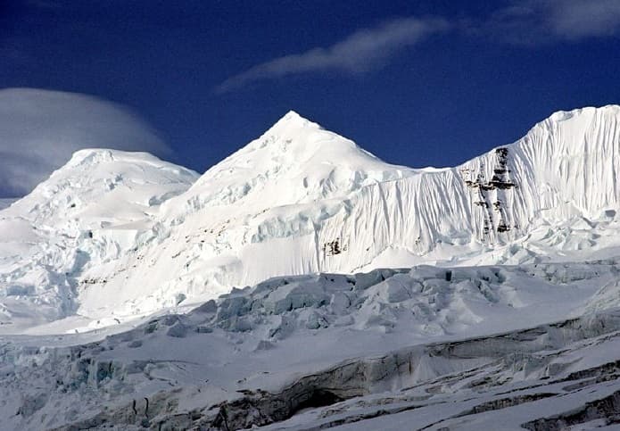
Mount Bona: Climbing Alaska’s Fifth-Highest Peak in Wrangell-St. Elias
A remote, glaciated volcano offering serious mountaineers one of the wildest high-altitude experiences in North America.
13 August 2026
Discover the isolated stratovolcano whose massive eruption shaped landscapes across North America.
Mount Churchill rises to 15,638 feet in the heart of Wrangell-St. Elias National Park and Preserve, the largest protected wilderness in the United States. Its broad, ice-covered summit and prominent caldera mark it as one of the highest volcanoes in North America. The mountain’s isolation, combined with its dramatic volcanic history, draws serious mountaineers and geologists rather than casual sightseers.
Churchill produced the White River Ash, one of the largest Holocene eruptions in North America. Roughly 1,200 years ago, explosive events blanketed parts of Alaska, Yukon, and the Northwest Territories with ash up to several feet thick. Today, hikers and pilots can still spot pale ash layers in river cuts and road cuts hundreds of miles away. The mountain’s twin neighbor, Mount Bona, shares the same icefield, creating a vast high-alpine landscape of glaciers and nunataks.
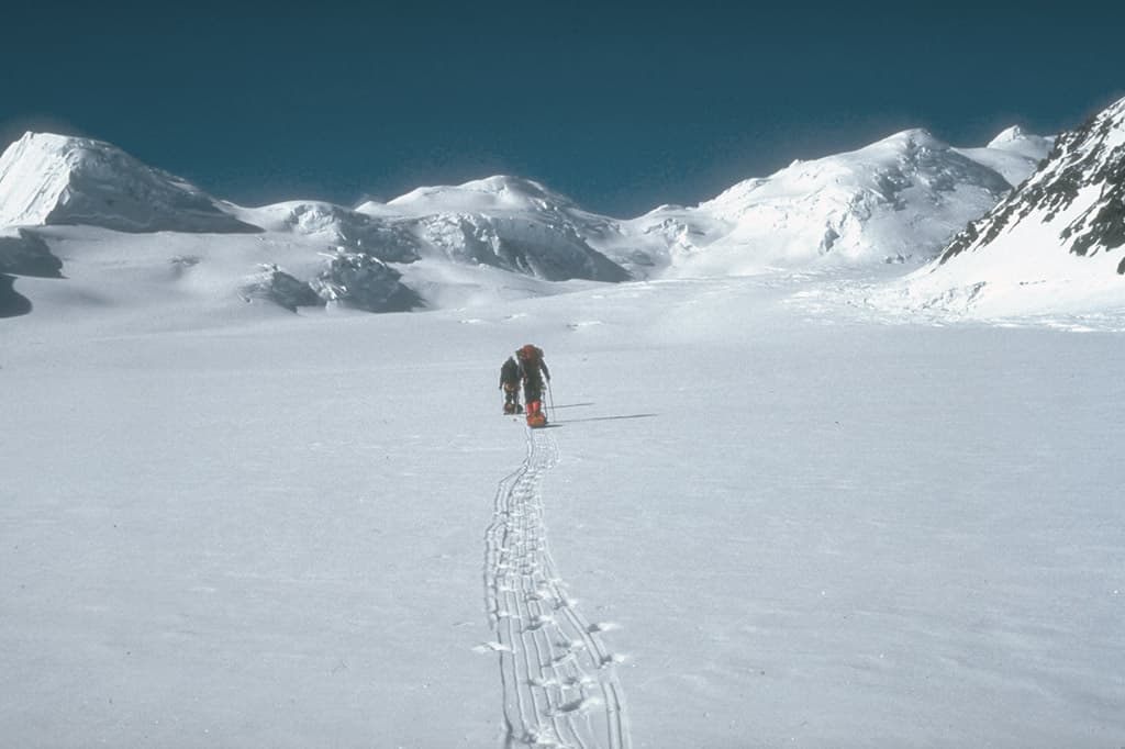
No roads lead to Mount Churchill. Most visitors begin with a flight to Yakutat or McCarthy, then charter a bush plane to the Russell Glacier or the upper Chitina River. From there, parties travel on skis or snowshoes across the icefield, a multi-day commitment that demands crevasse rescue skills and cold-weather experience. Fixed-wing air taxis can also land on the glacier when conditions allow, shortening the approach for well-equipped teams.
Experienced climbers attempt the southeast ridge or the western face, routes that involve steep snow, ice, and rock. Non-climbers find reward in extended ski traverses across the Churchill-Bona icefield, wildlife viewing for Dall sheep and grizzlies on lower slopes, and close inspection of volcanic features such as fumaroles and ash deposits. Clear days offer sweeping views of the St. Elias Range and distant peaks of the Chugach Mountains.
June through early September offers the longest daylight and relatively stable weather. Even then, storms can pin parties down for days. Winter travel is possible for those with advanced glacier travel skills, but temperatures and wind make it suitable only for highly prepared expeditions.
Combine a Churchill trip with visits to the historic Kennecott Mines, the Root Glacier trails near McCarthy, or the coastal scenery of Yakutat Bay. The entire Wrangell-St. Elias region rewards travelers who allow extra time for weather delays and route changes.
Independent travel is possible for parties with proven glacier travel and mountaineering experience, but first-time visitors to the Wrangell icefields are strongly advised to hire a qualified Alaska guide service.
Allow 10 to 14 days round-trip from McCarthy or Yakutat, including buffer days for weather and flight delays.
It is considered dormant. No eruptions have occurred in historic time, though the surrounding Wrangell field remains geologically active.
A national park backcountry permit is needed for overnight stays; no special climbing permit is required, but registration with park rangers is recommended.
Scenic flights from McCarthy or Yakutat provide excellent aerial views of the summit and icefield without setting foot on the glacier.
Keep reading
A remote, glaciated volcano offering serious mountaineers one of the wildest high-altitude experiences in North America.