
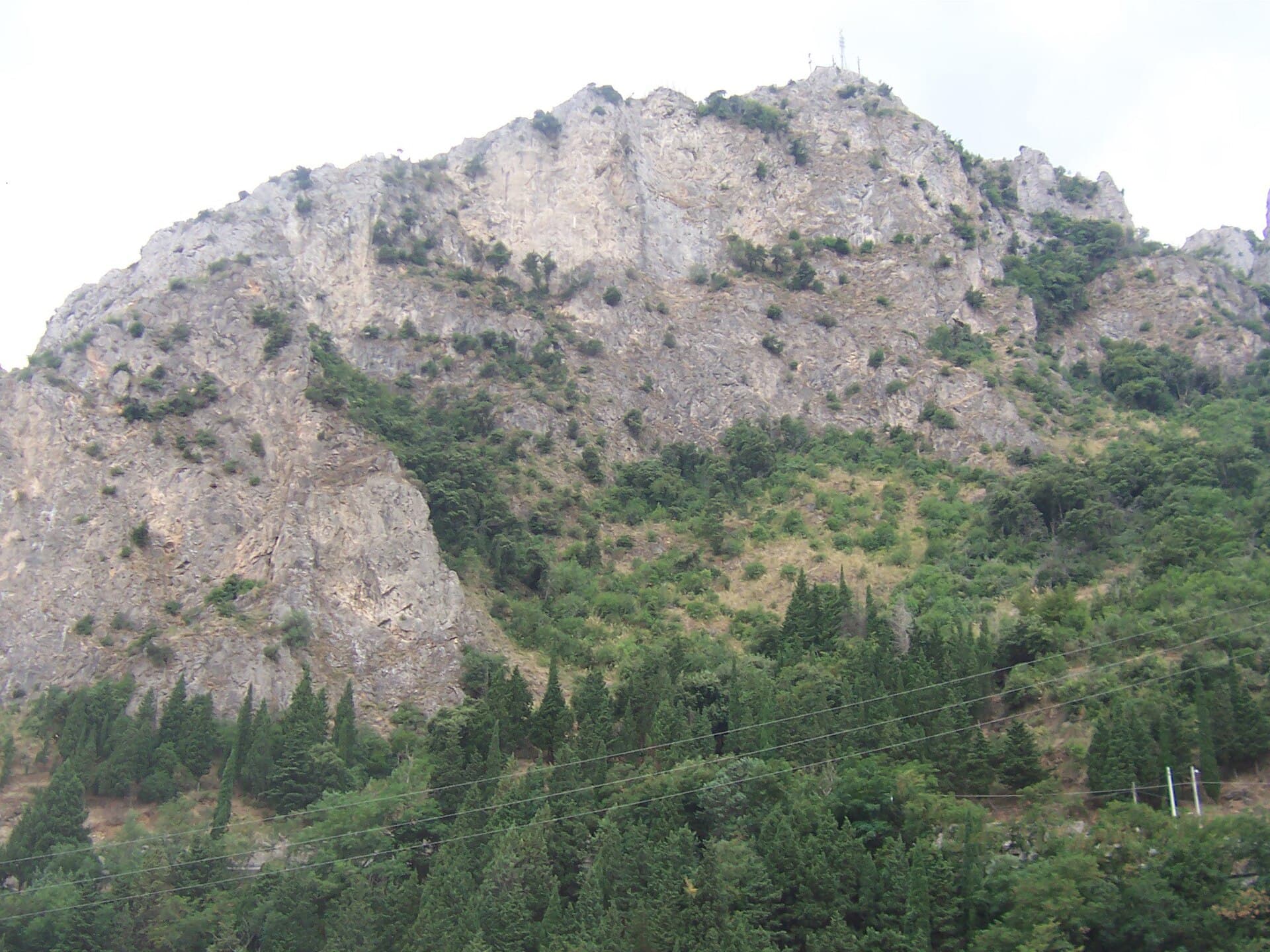
Monte Stella: Hiking Calabria’s Quiet Peak Above the Ionian Sea
A guide to trails, sea views, and wild nature on Monte Stella in the Province of Reggio Calabria.
Why Monte Stella Stands Out
Monte Stella rises to 1,313 meters in the Serre Calabresi range, offering hikers sweeping views across the Ionian Sea, the Strait of Messina, and the distant peaks of Sicily on clear days. Unlike the busier trails of Aspromonte farther south, this mountain remains lightly visited, preserving a sense of solitude amid beech and chestnut woods that shelter orchids, wild boar, and birds of prey.
Trails and What to See
The most popular route starts from the hamlet of Zervò and climbs steadily through mixed forest to the summit cross. The path is well-marked with red-and-white blazes and takes three to four hours round-trip for fit walkers. Along the way, short detours lead to limestone outcrops that frame uninterrupted coastal panoramas. In late spring the clearings fill with wild peonies and hellebores; in autumn the beech canopy turns copper and gold.
Getting There
Monte Stella lies roughly 80 km northeast of Reggio Calabria. Drivers follow the SS106 coastal road to Locri, then turn inland on the SP90 toward Grotteria and continue to Zervò. Public transport is limited; a rental car or organized transfer from the coast is the most practical option. The final stretch is narrow and winding, so allow extra time.
Best Time to Visit
April through June and September through October provide the most comfortable temperatures and clearest visibility. Summer brings heat and occasional thunderstorms; winter can leave the upper slopes icy or snow-covered. Early morning starts help avoid afternoon cloud build-up that often obscures the sea views.
Nearby Attractions
- The Greek ruins and museum at Locri Epizefiri lie less than an hour’s drive away.
- The hill town of Gerace, with its Norman cathedral and artisan workshops, makes an easy half-day extension.
- Beaches at Siderno and Roccella Ionica offer a refreshing contrast after a mountain hike.
Visitor tips
- Carry at least two liters of water per person; there are no reliable sources on the upper trails.
- Wear sturdy boots and long trousersu2014dense undergrowth and occasional thorny shrubs line the narrower sections.
- Download offline maps in advance; mobile coverage drops quickly once you leave the hamlets.
Frequently asked questions
How difficult is the hike to the summit of Monte Stella?
The main trail is moderate for experienced walkers; expect 600 m of elevation gain on a steady but never technical path. Beginners should allow extra time and consider turning back at the first viewpoint.
Is Monte Stella suitable for children?
Older children accustomed to mountain walking can manage the route, but the steep final section and lack of facilities make it less ideal for very young hikers.
Are there any facilities or refuges on the mountain?
No staffed rifugio exists. A small, unmanned shelter near the summit provides basic cover in bad weather, but visitors must be fully self-sufficient.
Can I drive to the top of Monte Stella?
No. The final approach is on foot only; the nearest road ends at Zervu00f2, from where the trail begins.
What wildlife might I encounter?
Red deer, wild boar, and birds such as the golden eagle and peregrine falcon inhabit the area, though sightings are more common at dawn or dusk.