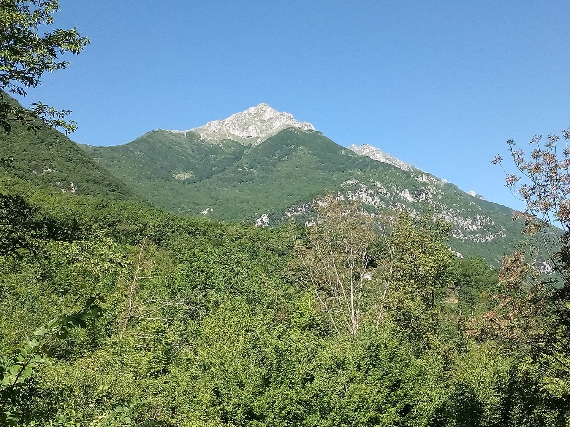
Why Monte Pratillo Stands Out
Monte Pratillo rises in the Monti Simbruini range of Abruzzo, offering hikers a quieter alternative to the region’s busier national parks. Its slopes feature mixed beech and oak woodland, limestone outcrops, and open meadows that deliver wide panoramas toward the Liri Valley and distant Gran Sasso peaks on clear days. The mountain rewards visitors who seek moderate walking without crowds.
Getting There
The most practical approach is by car. From Rome, take the A24 motorway toward L’Aquila, then exit at Carsoli and follow signs toward Tagliacozzo and the Simbruini foothills; the final approach uses narrow but paved roads to trailheads near the village of Collelongo. Public transport is limited; regional buses reach Avezzano or Tagliacozzo, after which a taxi or pre-arranged lift is required for the last stretch. Parking areas at the main trailheads are free and usually available outside peak summer weekends.
Best Time to Visit
Late spring through early autumn offers the most reliable conditions for hiking. Snow lingers into April on north-facing slopes, while July and August can bring hot, dry days best suited to early starts. Autumn colors appear from mid-October, and winter visits are possible only with proper equipment and avalanche awareness.
Trails and Activities
The standard route begins at roughly 1,000 m elevation and climbs steadily through forest to the 1,602 m summit, taking three to four hours round-trip for fit walkers. The path is well-marked with red-and-white CAI signage; a shorter variant loops through meadows for wildflower viewing in May and June. Birdwatchers often spot golden eagles and Apennine wolves in the surrounding valleys. Nearby, the village of Civitella Roveto provides cafés and supplies, while the ancient abbey at Trisulti lies within a short drive for those combining nature with cultural visits.
Practical Considerations
Carry at least two liters of water per person and a paper map, as mobile coverage is patchy. The terrain includes loose scree near the top, so sturdy boots and trekking poles are advisable. No facilities exist on the mountain itself, so plan meals and rest stops in the valley villages.