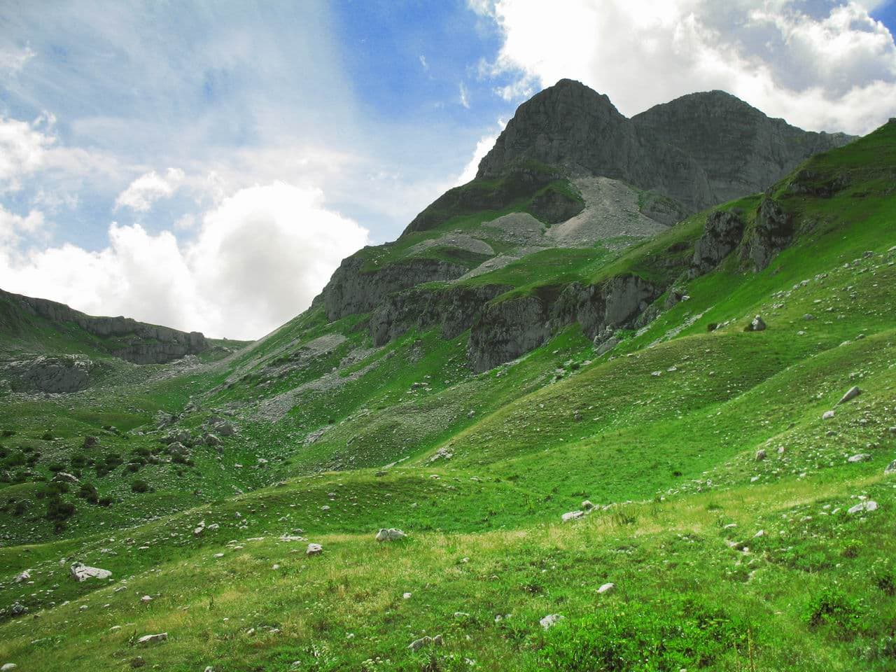
Why Monte La Meta Stands Out
Monte La Meta rises to 2,105 metres in the heart of Abruzzo’s national park, offering a classic central-Apennine profile of beech forest giving way to open limestone slopes and panoramic ridges. The mountain sits at the convergence of three regions, yet remains one of the quieter corners of the park, where hikers can still encounter Marsican brown bears, Apennine wolves and golden eagles without crowds.
Trails and What to Expect
The most direct route starts from the Val Fondillo trailhead near Opi. A well-marked path climbs steadily through ancient beech woods before emerging onto grassy saddles with views across the Sangro valley and the distant Maiella massif. The final rocky scramble to the summit cairn takes about three hours one way for fit walkers. Longer loops link La Meta with nearby Monte Tranquillo or the Forca Resuni pass, allowing multi-day traverses for experienced backpackers.
Wildlife and Landscape
Above the treeline, summer brings carpets of gentian and saxifrage; in autumn the beech forests turn copper. Winter snow transforms the slopes into a quiet backcountry ski-touring destination for those equipped with avalanche training and proper gear.
Getting There
Rome’s Fiumicino or Ciampino airports are the usual entry points. From Rome, regional trains reach Avezzano or Sulmona, followed by a bus or taxi to Pescasseroli or Opi. A rental car gives the most flexibility for trailheads scattered along the SS83 park road. Once inside the park, parking is available at Val Fondillo and other signed starting points.
Best Time to Visit
Late May through early October offers snow-free trails and mild temperatures. July and August can be hot at lower elevations but pleasant on the ridge; September brings fewer visitors and clear skies. Winter visits require mountaineering skills and awareness of sudden weather changes typical of the Apennines.
Nearby Places Worth Combining
After a summit day, many travellers continue to the medieval village of Scanno or the lakeside town of Barrea. The park’s visitor centre in Pescasseroli provides maps and current wildlife sightings, while the Camosciara reserve offers gentler boardwalk walks through old-growth forest.