Skip to content
Plan & Tour
DestinationsItinerariesTravel BlogAboutContact
0Sign inPlan a trip
Plan & TourPlan & Tour

Travel guides, destination inspiration and curated itineraries for Canada, the USA and beyond, plus a free tool to plan your own day-by-day trip.

Get travel inspiration

Explore

  • All Destinations
  • Curated Itineraries
  • Travel Blog
  • Plan a Trip

Topics

  • Hiking & Nature
  • Food & Drink
  • City Breaks
  • Budget Travel

Company

  • About Us
  • Contact
  • Privacy Policy
  • Terms of Service

© 2026 Plan & Tour. Built for travellers.

Discover the world, one trip at a time.

Monte Cornacchia: Hiking Abruzzo’s Highest Peak in the Monti della Laga
  1. Home
  2. Destinations
  3. Abruzzo
  4. Monte Cornacchia: Hiking Abruzzo’s Highest Peak in the Monti della Laga
Mountain

Monte Cornacchia: Hiking Abruzzo’s Highest Peak in the Monti della Laga

Explore the rugged summit trails, sweeping views, and quiet wilderness of Monte Cornacchia inside Gran Sasso e Monti della Laga National Park.

AbruzzoUpdated 15 August 2026

Why Monte Cornacchia Rewards Visitors

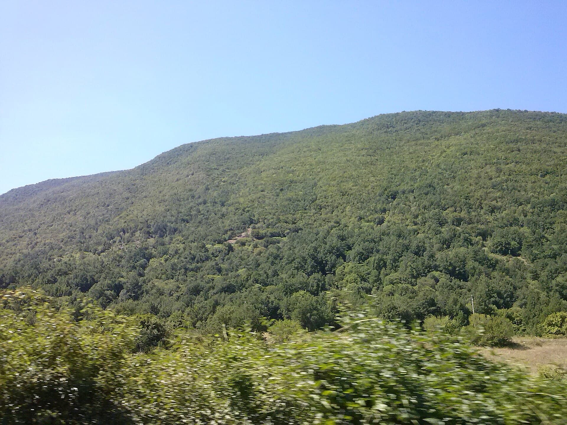
At 2,003 metres, Monte Cornacchia stands as the highest point of the Monti della Laga range and offers hikers a genuine sense of isolation within Abruzzo’s Gran Sasso e Monti della Laga National Park. Its broad, grassy summit delivers 360-degree panoramas that stretch from the Gran Sasso massif to the Adriatic coast on clear days. Unlike more crowded peaks nearby, the mountain retains a remote character thanks to limited access roads and long approach walks.

Reaching the Trailheads

The most practical starting points lie on the western side of the range. Drive from Amatrice or Capitignano along the SP 577 to the high meadows near Lago di Campotosto, then continue on forest tracks to the Rifugio Monte di Mezzo area. From there, marked paths climb steadily through beech woods before emerging onto open slopes. Public transport is scarce, so a car or arranged transfer from nearby villages remains essential. The final approach involves steady elevation gain on well-trodden but sometimes muddy tracks.

Best Time to Visit

Late June through September provides the most reliable conditions for reaching the summit. Snow lingers on north-facing slopes into early summer, while autumn brings colourful foliage but shorter days. Winter visits demand full mountaineering equipment and avalanche awareness. Spring wildflowers appear first on the lower meadows and gradually ascend as temperatures rise.

Recommended Routes

  • The western ridge from Lago di Campotosto offers the shortest ascent, roughly four hours round-trip with moderate exposure near the top.
  • A longer loop via Monte Gorzano and the eastern crest rewards experienced hikers with extended ridge walking and fewer people.
  • Photographers often choose the south-east flank for sunrise views over the Laga valleys.

Wildlife and Landscape Highlights

Golden eagles patrol the ridges, while chamois and Apennine wolves inhabit the higher slopes. Lower down, ancient beech forests shelter rare orchids and salamanders. The open summit plateau supports alpine meadow flowers in midsummer. Carry binoculars and remain on marked paths to minimise disturbance.

Places Worth Combining with the Hike

After descending, many visitors continue to the shores of Lago di Campotosto for a relaxed picnic or drive north to the historic centre of Amatrice, famous for its pasta all’amatriciana. The broader national park also contains the Campo Imperatore plateau and the dramatic Corno Grande, both reachable within an hour by car.

Visitor tips

  • Download offline maps before leaving cell coverage; the upper slopes have no signal.
  • Carry at least two litres of water per person in summer as streams dry up above 1,500 m.
  • Wear sturdy boots and gaitersu2014loose scree near the final summit pyramid can be slippery even in dry weather.

Frequently asked questions

How difficult is the hike to Monte Cornacchiau2019s summit?+

The standard western route is rated moderate for fit hikers; expect 800 m of elevation gain over four to five hours round-trip on clear paths.

Are there any refuges or huts on Monte Cornacchia?+

No permanent staffed hut exists on the mountain itself, but the nearby Rifugio Monte di Mezzo provides basic shelter and a starting point for day trips.

Can I reach the summit without a car?+

Public buses stop in Amatrice and Capitignano, but trailheads require additional transport; most visitors arrange a taxi or join an organised hike from the valley.

What should I do if the weather turns while on the ridge?+

The open summit offers little shelter; descend immediately via the same route and monitor forecasts before setting out, as thunderstorms develop quickly in summer.

Is Monte Cornacchia suitable for families with children?+

Only the lower forest sections are appropriate for young children; the final steep section to the summit is best reserved for teenagers and experienced adult hikers.

Share
Google Maps Apple Maps Directions

Image: Marica Massaro · CC BY-SA 4.0 · via Wikimedia Commons

Keep reading

Nearby & related

All stories
Aternum: Exploring the Roman Ruins Beneath Pescara
Pescara

Aternum: Exploring the Roman Ruins Beneath Pescara

Step into the layered history of ancient Aternum, the Roman settlement that lies at the heart of modern Pescara on the…

15 August 2026
C
Guardiagrele

Comino Archaeological Site: Ancient Ruins Near Guardiagrele

Explore the understated Italic-era remains at Comino, an open-air archaeological site in the Abruzzo hills.

15 August 2026
Castello Ducale di Crecchio: Medieval Fortress in Abruzzo’s Countryside
Crecchio

Castello Ducale di Crecchio: Medieval Fortress in Abruzzo’s Countryside

Discover the restored 11th-century Castello Ducale di Crecchio, a hilltop castle with sweeping views and deep ties to…

15 August 2026