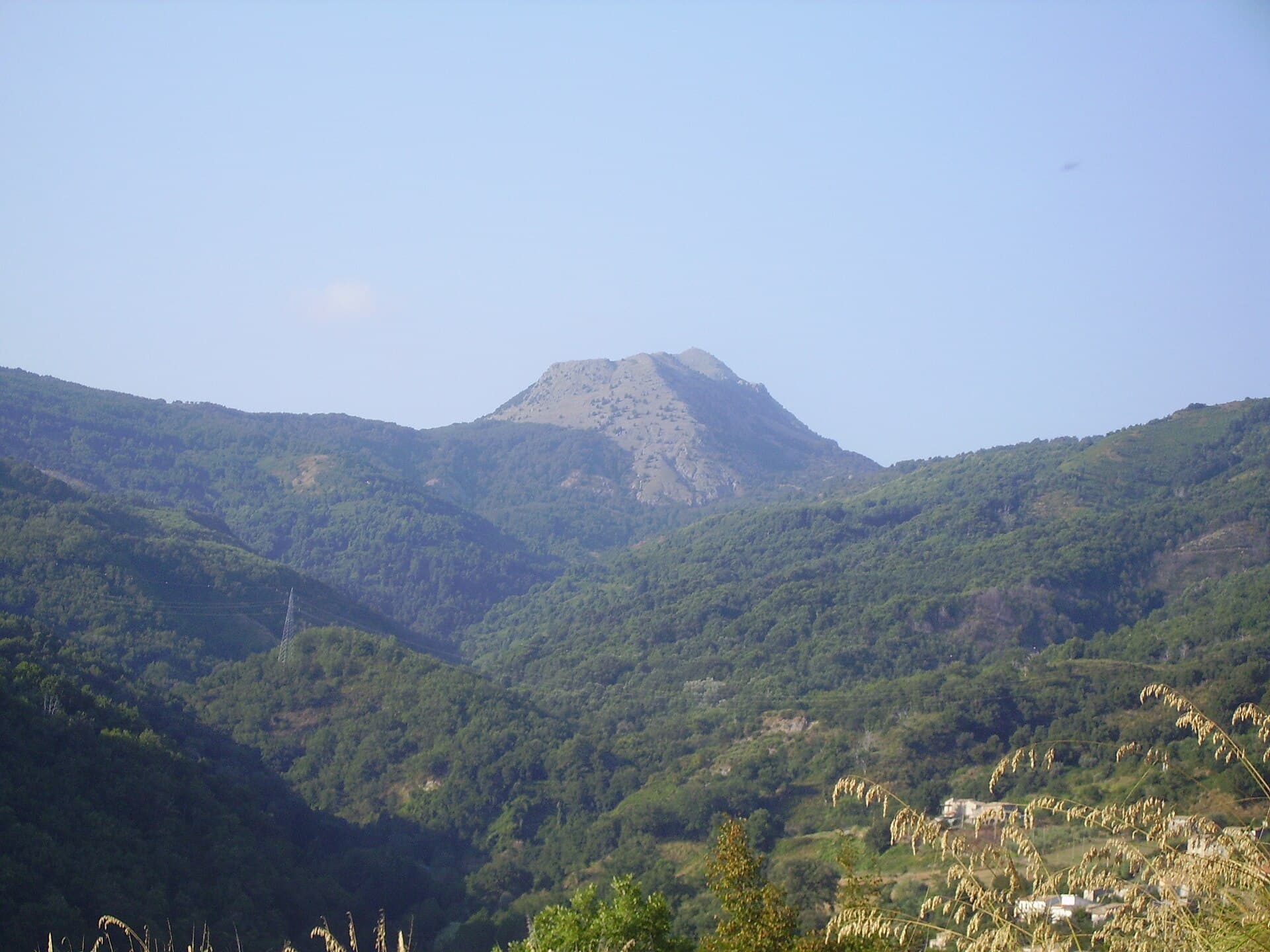
Why Monte Cocuzzo Stands Out
Monte Cocuzzo rises as the tallest point in Calabria’s narrow coastal range, separating the Tyrrhenian Sea from the inland valleys near Cosenza. At 1,541 meters it offers hikers a rare combination of maritime panoramas and dense Apennine woodland without the crowds found on the Sila plateau or Pollino massif.
Trails and Summit Route
The standard ascent begins near the hamlet of Bocca di Piazza above Fiumefreddo Bruzio. A well-marked path climbs steadily through chestnut and then beech forest, emerging onto open ridges with views across the Gulf of Sant’Eufemia. The final section crosses limestone slabs to a modest summit cross; allow four to five hours round-trip for fit walkers. Side trails lead to the neighboring peaks of Monte Caloria and Monte Pettino for longer loops.
Flora and Wildlife
Beech woods here shelter endemic orchids and the rare Calabrian black woodpecker. In autumn, mushrooms appear along the lower slopes. Keep an eye out for griffon vultures riding thermals above the sea cliffs.
Getting There
Drive from Cosenza via the SS107 toward the coast, then take the winding SP31 to the trailhead parking at Bocca di Piazza. Public transport is limited; a taxi from the nearest station at Paola or Amantea is practical for day visitors. The mountain lies roughly 35 kilometers from the A2 motorway exit at Falerna.
Best Time to Visit
Late spring (May–June) and early autumn (September–October) provide stable weather and clear visibility. Summer brings heat and haze at lower elevations, while winter snow can linger on the north face into April. Always check local forecasts before setting out, as the exposed ridges offer little shelter.
Nearby Attractions
Combine a hike with a visit to the cliff-top villages of Fiumefreddo Bruzio or Belmonte Calabro for medieval architecture and sea views. The ancient site of Temesa lies a short drive north, while the sandy beaches of the Riviera dei Cedri are less than 30 minutes downhill.