
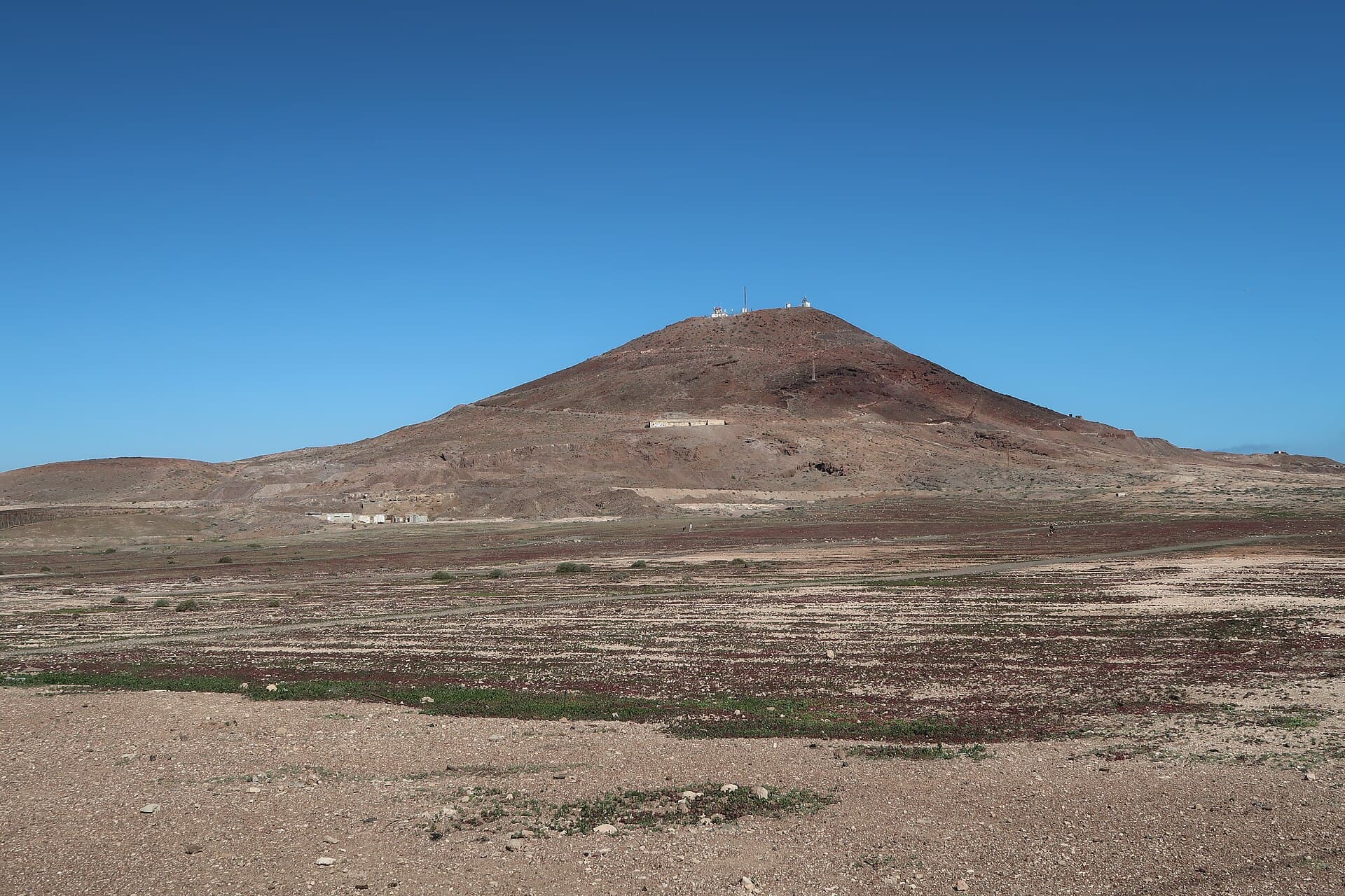
Montaña de Arinaga: Hiking Gran Canaria’s Volcanic Cone in Agüimes
A compact volcanic peak offering sweeping coastal views and quiet trails just minutes from the sea.
Why Visit Montaña de Arinaga
Montaña de Arinaga rises as a classic Canary Island volcanic cone above the southeastern coast of Gran Canaria. Its dark basalt slopes and crater rim provide a striking contrast to the turquoise Atlantic and the white houses of nearby Arinaga. The short ascent rewards hikers with unobstructed panoramas that stretch from the lighthouse at Punta de Arinaga to the distant dunes of Maspalomas on clear days.
How to Get There
The mountain sits within the municipality of Agüimes, roughly 25 minutes by car from Gran Canaria Airport. Drivers can follow the GC-1 motorway south, then take the Arinaga exit and continue on local roads toward the town. A small parking area lies at the base near the Ermita de San Sebastián. Public buses from Las Palmas or Playa del Inglés stop in Arinaga; from the bus stop a 15-minute walk leads to the trailhead.
Trails and What to Expect
Two main paths ascend the cone. The gentler route starts from the south and follows an old lava flow before zigzagging up the slope; it takes 35–45 minutes to the rim. A steeper northern path offers more direct views of the crater interior. Both routes are rocky and require sturdy shoes. At the summit, a modest trigonometric point marks the high point and serves as a perfect picnic spot.
Flora and Wildlife
Despite the arid appearance, the slopes support tabaiba and cardón succulents, while migratory birds often rest on the crater rim. In spring, small yellow flowers appear after rare rains, adding brief color to the black rock.
Best Time to Visit
Early morning or late afternoon visits avoid the strongest sun and heat. Winter months (November–March) bring cooler temperatures and clearer skies ideal for photography. Summer hikes are possible but should start at dawn to escape midday temperatures above 30 °C.
Nearby Attractions
After descending, explore the coastal promenade of Arinaga with its seafood restaurants and small fishing harbor. A short drive north reaches the protected dunes and beaches of Playa del Inglés, while the historic center of Agüimes offers Canarian architecture and local markets.
Visitor tips
- Carry at least 1.5 liters of water per person; there are no sources on the mountain.
- Wear a hat and apply high-SPF sunscreenu2014shade is almost nonexistent on the exposed slopes.
- Check wind forecasts before heading up; the summit can be gusty even when the base feels calm.
Frequently asked questions
How difficult is the hike to the summit of Montau00f1a de Arinaga?
The hike is moderate. The main trail gains about 200 meters over 1.5 km and takes 40u201350 minutes for most walkers; good balance and sturdy footwear are essential on loose volcanic gravel.
Is Montau00f1a de Arinaga suitable for children?
Older children accustomed to hiking can manage the route, but very young kids may struggle with the steep, rocky sections. The summit itself is safe once reached.
Are there any facilities at the trailhead or on the mountain?
No facilities exist on the slopes. A small bar and public toilets are available in the village of Arinaga, a 15-minute walk from the parking area.
Can you see the crater from the top?
Yes, the shallow crater is clearly visible from the rim, though it is partially vegetated and not as dramatic as larger calderas elsewhere on the island.
Is Montau00f1a de Arinaga crowded?
The peak remains relatively quiet compared with popular Gran Canaria viewpoints. Weekday mornings are the quietest; weekends see more local walkers.