
Keep reading
Nearby & related
Southern District
Tsonye River: Exploring Botswana’s Quiet Southern Waterway
Discover the Tsonye River’s seasonal flow, birdlife, and rural charm in Botswana’s Southern District.
13 October 2026
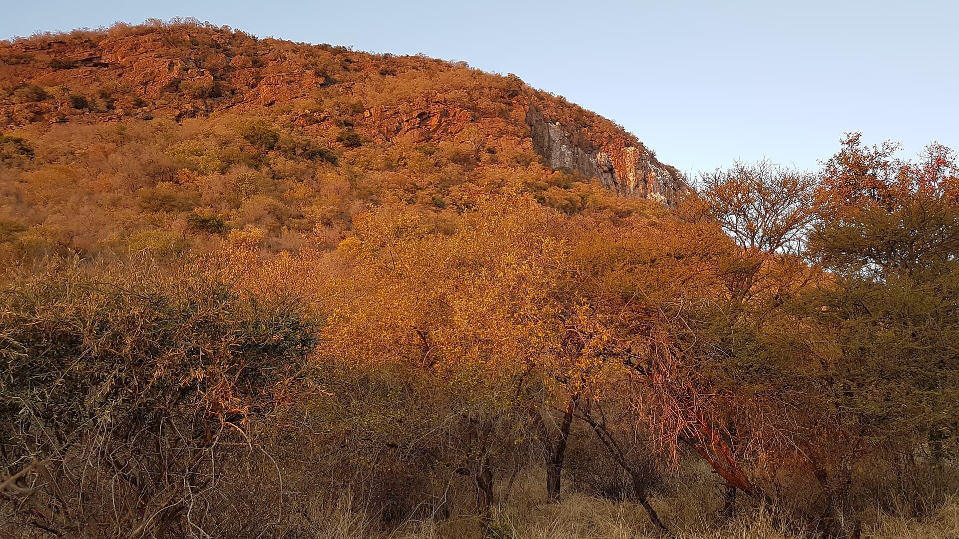
Climb the rocky slopes of Monalanong Hill for panoramic savanna views and a quiet escape just south of Gaborone.
Monalanong Hill rises as a distinct granite outcrop in Botswana’s Southern District, offering hikers unobstructed views across acacia-studded plains toward the distant hills of the Kgatleng region. Its modest elevation and accessible trails make it a rewarding half-day outing rather than a multi-day expedition, attracting both local residents and visitors seeking Botswana’s quieter natural spaces away from the more crowded Gaborone city trails.
From Gaborone, follow the A1 south toward Kanye for roughly 25 kilometres, then turn onto the gravel road that leads east toward the hill’s base near the village of Monalanong. A high-clearance vehicle is advisable for the final few kilometres, though the route is passable in a standard sedan during the dry season. Public transport drops passengers in the village; from there the remaining walk to the trailhead takes about 30 minutes along a dirt track.
The main path begins at the western foot and climbs steadily through open woodland before reaching a series of rocky ledges. The ascent takes 45 to 90 minutes depending on fitness level and chosen route variations. At the summit, visitors enjoy 360-degree vistas that stretch across the Southern District’s cattle posts and seasonal riverbeds. Look for Verreaux’s eagle pairs soaring overhead and the occasional klipspringer on the steeper rock faces. The descent follows the same route or a gentler northern spur that loops back toward the village.
Vegetation includes drought-resistant species such as mopane, terminalia, and scattered marula trees. After good rains, wildflowers appear along the lower slopes. Birdlife is plentiful; bring binoculars for hornbills, shrikes, and sunbirds. Larger mammals are rare during daylight hours, but tracks of baboon and small antelope are common on the sandy patches.
The cooler, drier months from May to October provide the most comfortable hiking conditions and clearer long-distance views. November to April brings higher temperatures and the possibility of afternoon thunderstorms that can make the granite surfaces slippery. Early morning starts are recommended year-round to avoid midday heat.
Many visitors pair the hill with a stop at the nearby Manyana rock paintings or continue south to the historic town of Kanye for its traditional kgotla and hilltop viewpoints. The area also serves as a gateway to the Mokolodi Nature Reserve, roughly 40 kilometres north, where guided game drives are available.
The route is moderate and suitable for reasonably fit walkers with no technical climbing required, though the final scramble to the true summit needs care.
Overnight camping is not officially permitted; day visits are the norm and local authorities prefer hikers descend before dark.
Daytime solo hikes are generally safe, but travel with a companion or notify villagers of your plans and avoid carrying valuables.
There are no toilets, shops or marked parking areas; bring everything you need and leave no trace.
Light, breathable clothing, a sun hat, sturdy hiking shoes and sunscreen are essential; long trousers help protect against thorny vegetation.
Keep reading
Discover the Tsonye River’s seasonal flow, birdlife, and rural charm in Botswana’s Southern District.