Why the Molonglo River Belongs on Your Canberra Itinerary
The Molonglo River rises in the hills west of Canberra and flows eastward for roughly 80 kilometres before joining the Murrumbidgee. Within the Australian Capital Territory it carves a gentle valley that supplies water to Lake Burley Griffin and creates a ribbon of parkland through the capital. Unlike the more formal lakeside promenades, the river corridor feels quieter, with native grasslands, river red gums and granite outcrops that change colour at sunrise and sunset.
What to See and Do Along the River
Walking and Cycling Trails
Well-formed paths follow both banks for many kilometres. The Molonglo Valley Trail links the suburb of Molonglo to the lake foreshore, passing through open woodland where eastern grey kangaroos graze at dawn. Cyclists can continue onto the Lake Burley Griffin Circuit for a longer loop.
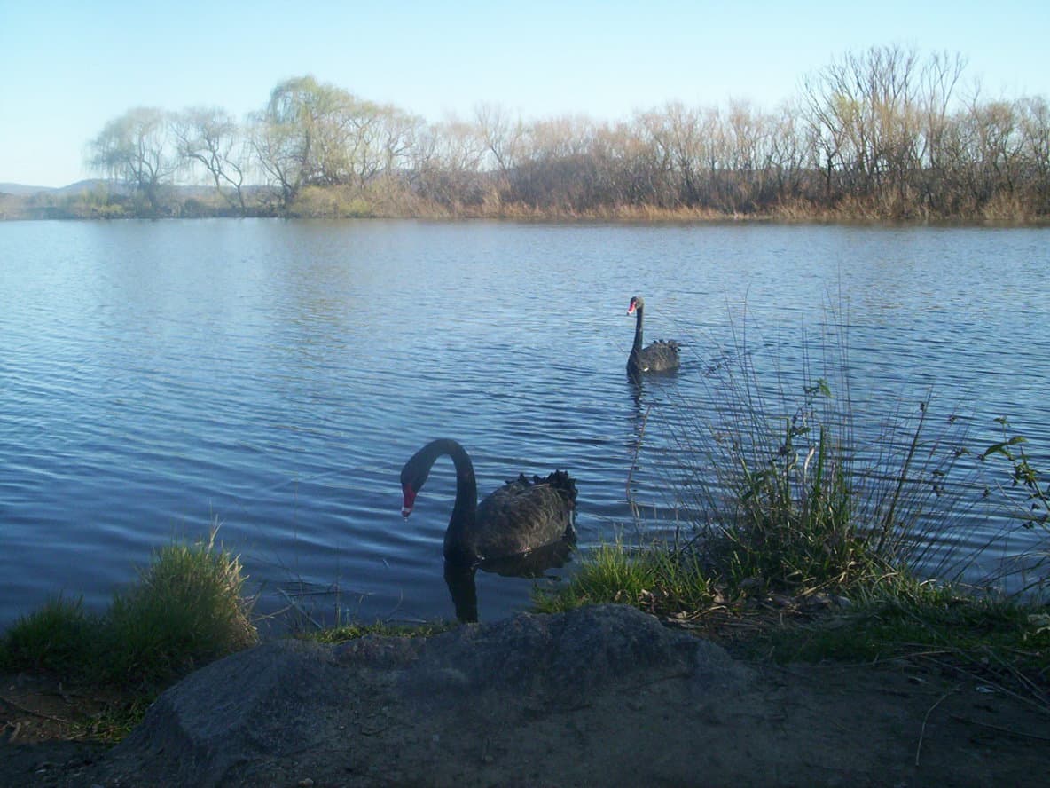
Birdwatching and Nature
Shallow riffles and reed beds attract white-faced herons, azure kingfishers and yellow-tailed black cockatoos. Early morning visits to the river flats near Uriarra Crossing often reward patient observers with platypus sightings in the deeper pools.
Fishing and Paddling
Anglers target brown trout and redfin in the cooler months; catch-and-release is encouraged in the upper reaches. Kayakers and stand-up paddleboarders launch at several informal gravel ramps where the current remains gentle.
How to Get There
Most visitors drive from central Canberra via the Tuggeranong Parkway or the Kings Highway, turning onto local roads that lead to river crossings such as Coppins Crossing or Point Hut Crossing. Limited bus routes serve the western suburbs; cyclists and walkers can reach the lower river from the lake foreshore paths without needing a car.
Best Time to Visit
Spring (September–November) and autumn (March–May) bring mild temperatures ideal for walking and wildlife viewing. Summer can be hot and the river level drops, while winter occasionally brings frost and clearer water for fishing. Avoid the river after heavy rain when tracks become muddy and currents strengthen.
Nearby Attractions Worth Combining
- The National Arboretum Canberra offers panoramic views over the Molonglo Valley.
- Uriarra East picnic area provides shaded tables and access to both the river and the Murrumbidgee.
- The Australian National Botanic Gardens sit a short drive north and showcase the same eucalypt species found along the riverbanks.